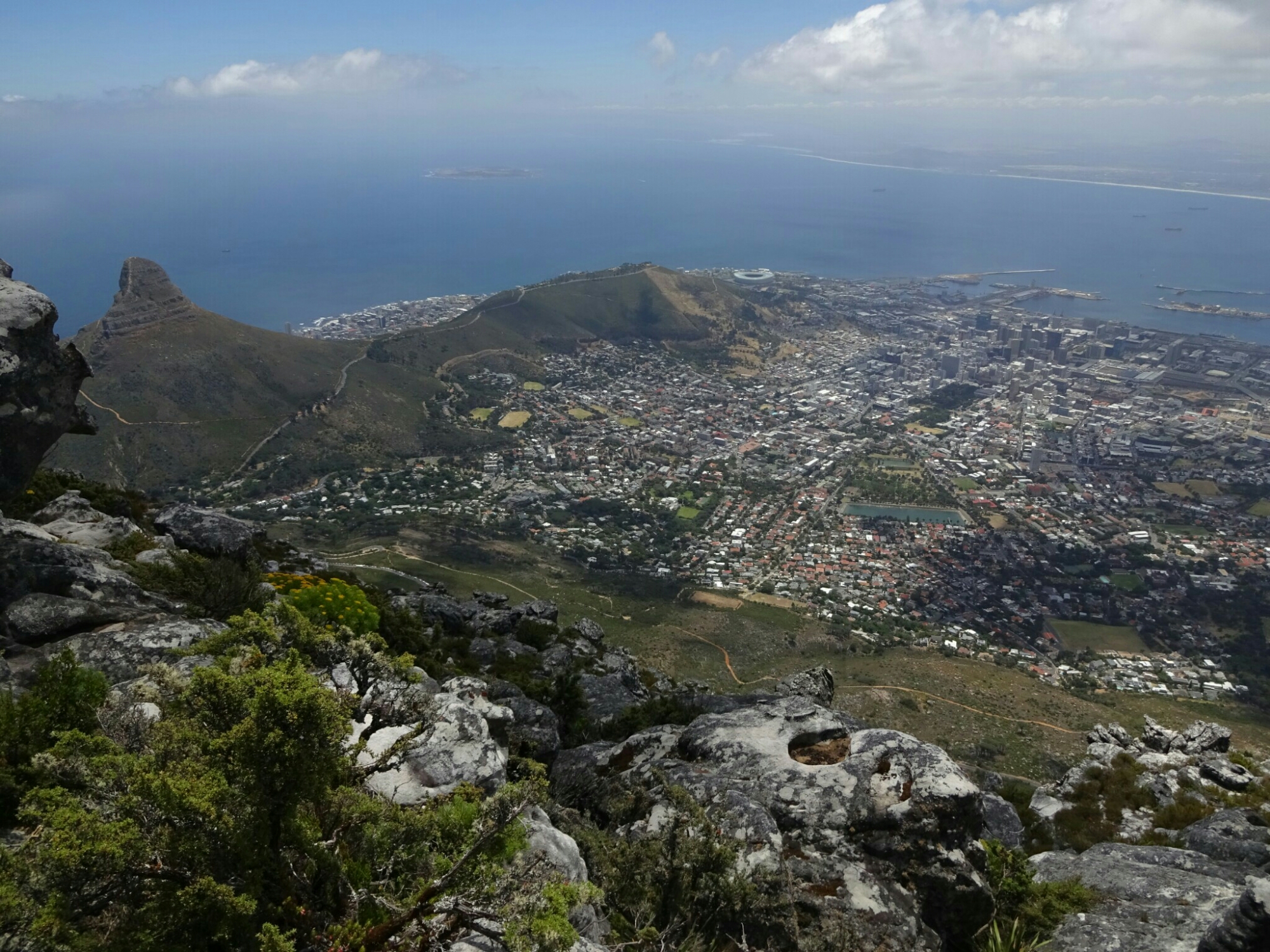
Cape Town is surrounded by mountains on one side and by sea on the other side. Less known but well worth a visit is the hike up on Lion’s Head, a steep hill (669 m) west of the city. Some say that it got its name from a sphinx-like lion shape, which can be seen from Camp’s Bay, others say it used to be a place where some lions were living and hunting. Roland and I climbed it, starting at the hostel, almost at sea level. The climb was strenuous, but the view from the top was phantastic with paragliders soaring around our heads.


And of course we visited the most prominent landmark of Cape Town – Table Mountain. That morning Roland wasn’t fit for hiking, so I took an Uber to Kirstenbosch by myself. Kirstenbosch lies on the other side of the mountain and is home to the botanical garden. The reason for this location is the amount of rainfall that they get there compared to the city of Cape Town – a result of the combination of the dominant wind direction (towards the south-east) and its location in the lee of Table Mountains highest point.

In the botanical garden I took a big loop that passed by the Arboretum, which included a treetop walk with a maximum height of more than ten meters above ground at its highest point. From there I followed a steep trail through the skeleton gorge and across a swampy plain all the way up to the top of Maclears Beacon (1085 m), the highest point of Table Mountain. By that time the table was still covered with a thick white table cloth and there wasn’t much of a view.


However, it was only midday and I was determined to stay on top until Cape Town would come into view. About half way to the upper gondola station (on the other side of the plateau) the clouds lifted, giving way to a gorgeous panorama of the city and the Hout Bay area on the other side of the mountain.

With the sunshine came hundreds of tourists, who boarded the gondola immediately after the clouds had cleared. One of them was Roland as we had agreed on a time to meet at the top. Together we hiked down through the Platteklip Gorge jumping from rock to rock like the mountain goat that we had seen on top.

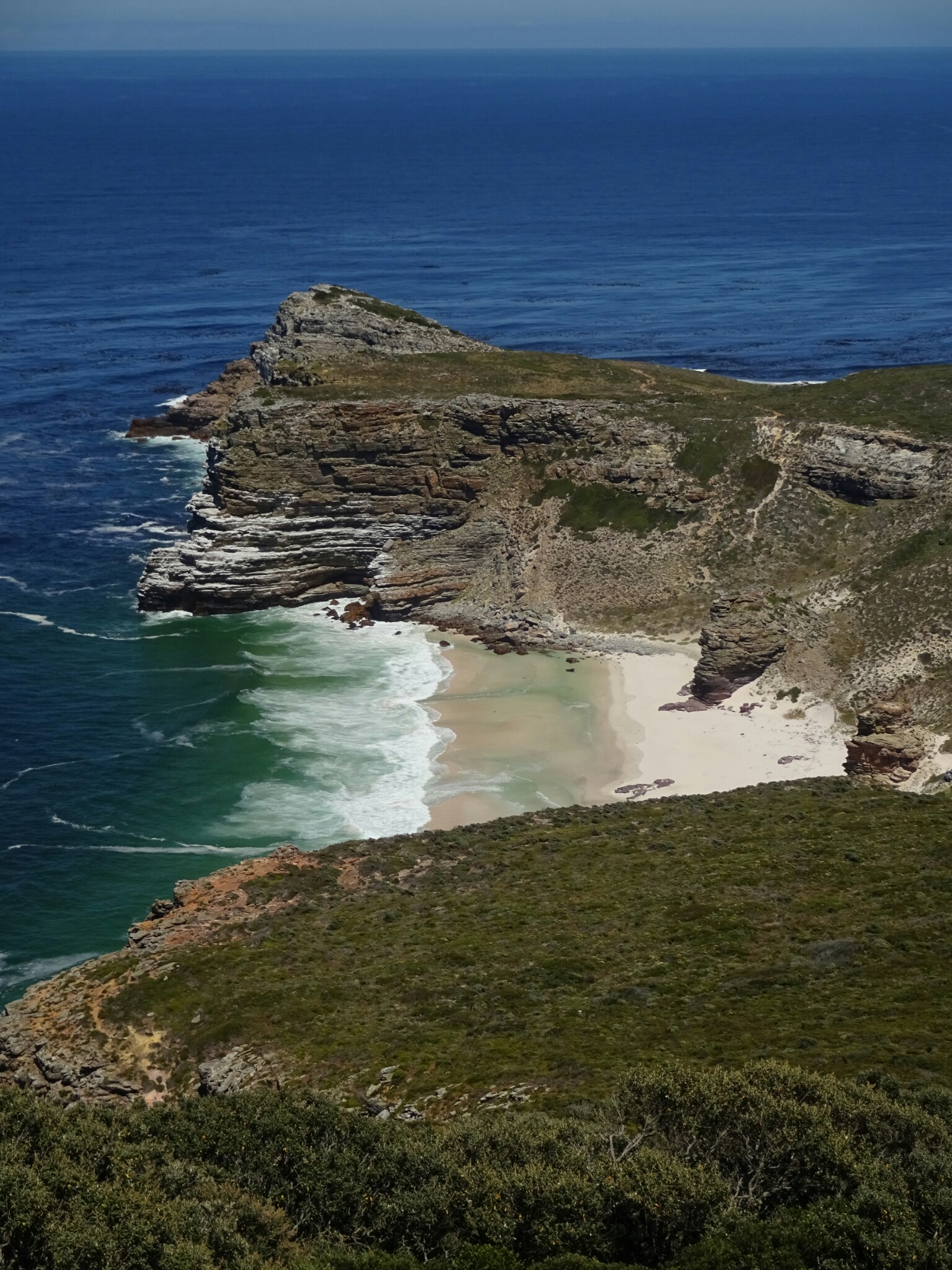
Another day we took an organized day trip to the Cape peninsula. After a quick look at Boo-Kap, the colorful neighborhood of Cape Town, we went all the way down to the Cape of Good Hope, which is still part of the Table Mountain National Park. We avoided long waiting times and hundreds of tourists by going there early in the day. We had a look at the lighthouse and took a short walk to the cape itself, which is the most south-westerly point of Africa, before having a delicious South African lunch, consisting of buns filled with grilled veggies, chicken and chakalaka sauce.


As the day continued we drove over to Boulders Beach, which is home to a large population of African penguins. Back in 1982 two breeding couples were taken from another colony across the Hout Bay and introduced in this very spot. They liked it so much that nowadays there are about 3000 penguins living here. You can get really close to them on a series of boardwalks that were built here.


On our way back to Cape Town we stopped for some wine tasting at a local vineyard. Due to the proximity to the ocean, this vineyard produces mostly white wines, whereas red wines require more heat and less moisture, a climate which can be found more inland.

