Category Archives: Canada 2017

Between the continents

The original plan was to pick up my friend Eiko from the airport and continue to Truro, where I had booked a room at the university for the night. We wanted to make some distance towards the ferry we wanted to take the next day. Unfortunately the plane was almost an hour behind schedule and somewhere along the way Eiko’s backpack had gotten lost. We left the airport without it and didn’t make it on time to the university, where the check-in closed at 10 pm.

Sometime in the middle of the night we did find an expensive hotel room

At this time of the day, booking a room online was impossible. So we decided to try our luck at every hotel we would come across. Right at the first hotel in Truro we were disappointed – it was fully booked due to a convention in town. The receptionist recommended to continue to New Glasgow, where there were more hotels available. With its 20.000 inhabitants it is almost twice the size of Truro, but the only rooms left were a smoking room and an expensive one, which at least didn’t smell like cigarettes.

Heading to the ferry that would bring us to Argenti(n)a

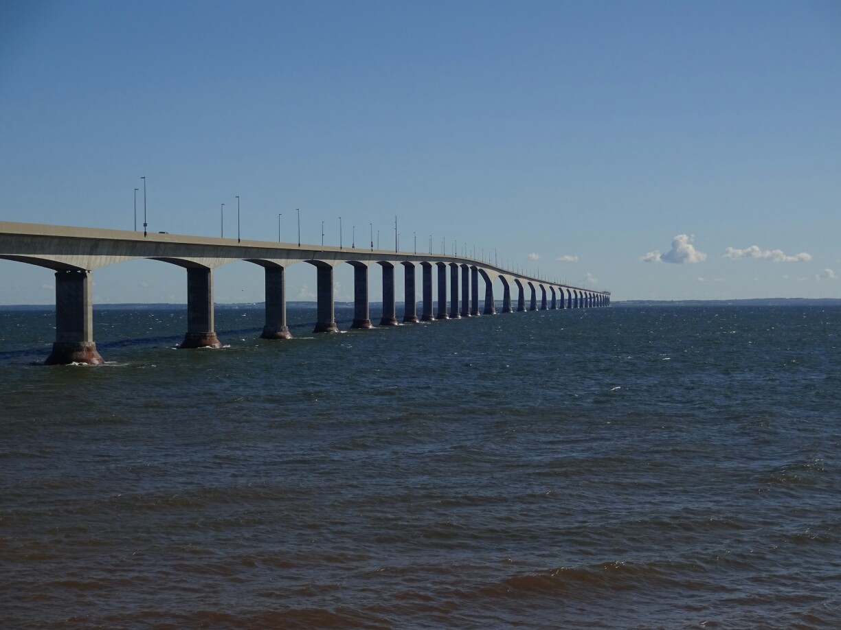
By now we were quite exhausted, so we decided to stay, making it the most expensive night on this trip. But we slept well and the breakfast was really good, so it was worth it. From here we continued to North Sydney, where the ferry terminal is located. Fortunately we still had some time to fill up the car and to buy groceries and some clothing for Eiko. The ferry ride was going to take about 20 hours, so we wanted to be prepared.

Exploring the ferry, where we would spend the next 20 hours

The blue backpack was Eiko’s carry-on, his other backpack had gotten lost on the way to Canada

After some difficulties with boarding, we left the car on one of the lower levels of the ship and set off to explore the ship. We had our dinner outside, sheltered from the wind, but with a superb view of the ocean and the disappearing Nova Scotia. During the night we tried to sleep on the reclining seats, but didn’t get much rest. Still, we were all excited, when Newfoundland came in sight and we were able to disembark in Argenti(n)a.

Over breakfast Eiko was calling several different hotlines to find out how to get back his luggage

Newfoundland!

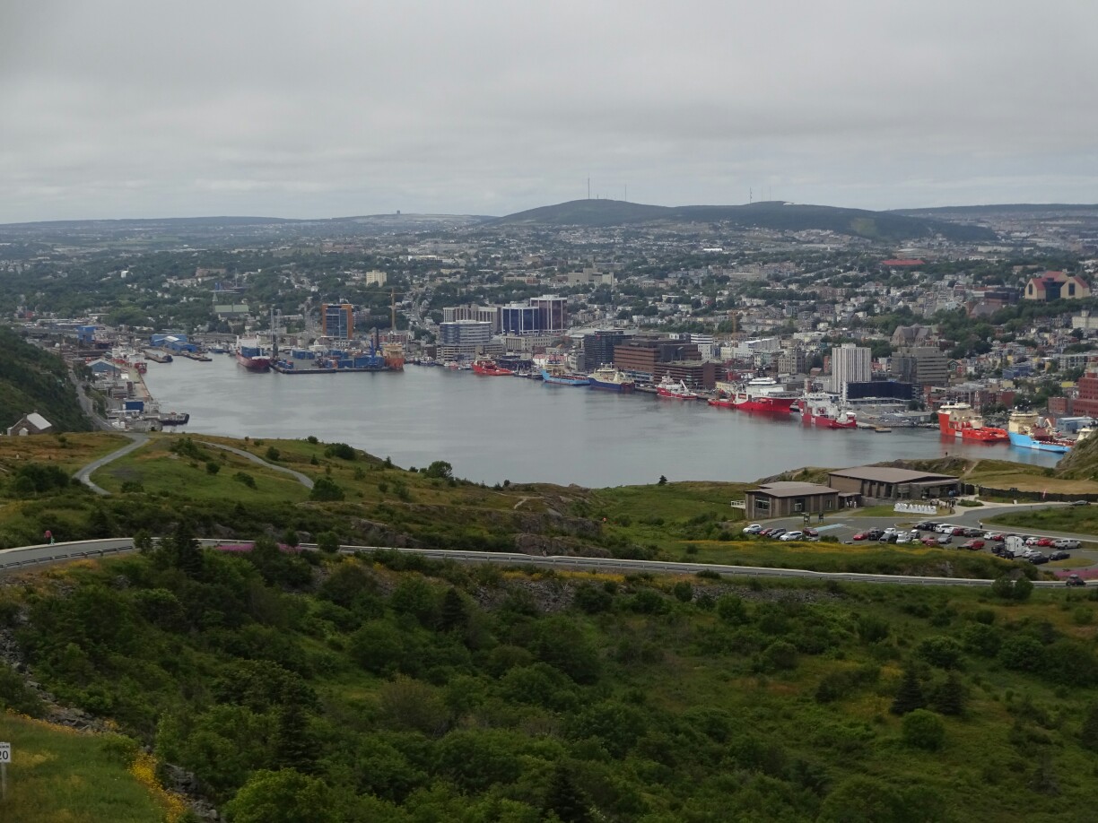
The ferry had dropped us at the eastern end of the island, where it was only a short drive to the capital of the province – Saint John’s (not to be confused with St. John in New Brunswick, which also has an airport). The steep streets, the colourful wooden houses and the centrally located harbour immediately casted its spell on us. Our Airbnb room was not too far from the city center, so we discovered the town mostly on foot.

The steep streets of St. John’s are lined with colorful wooden houses

Beer tasting at a local brewery with view over the harbour

Towering above the city is “Signal Hill”. It was used for guiding ships safely into the natural harbour, but also to defend it from ships of the enemy. Since the beginning of the last century it houses the “Cabot Tower”, built for flag communication between incoming ships and the harbour. This system was in use up until the late 1950s. Long before that, in 1901, history had been made here when the first wireless transatlantic transmission was received.

The “Cabot Tower” on top of “Signal Hill”

The view of St. John’s and its natural harbour from “Signal Hill”

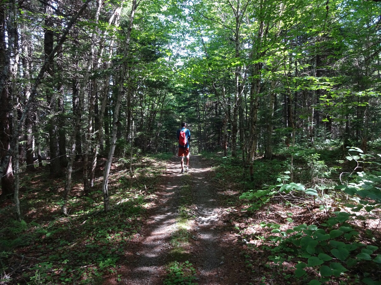
Just behind it are several trails, including the “North Head Trail”, which follows the ridge and allows for a spectacular view of the coastline. And here we finally got to see our first whales on the east coast. We had been looking for a while, but other tourists saw the spouts first. We just had to follow their outstretched arms to see them. However, it was still too far away to see anything more than the spray. Proper whale watching was still on our list for one of the next days.

A lighthouse and a small fortress secure the entrance to the harbour

The following day was “Regatta Day”, a provincial holiday, where everyone from Saint John’s and around gathers at “Quidi Vidi Lake”. It’s like a big fair with rowing races during the whole day. Friends and family come over to watch the matches. And like every fair, fast-food is very popular. Still, we didn’t feel like lining up for more than half an hour to get a serving of the famous fries from Newfoundland. Maybe next time!

Regatta Day on “Quidi Vidi Lake” is a provincial holiday

Dozens of people are lining up to get a serving of Newfoundland’s famous fries

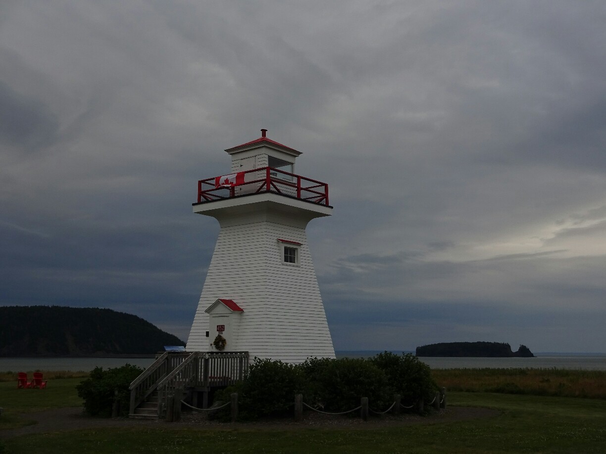
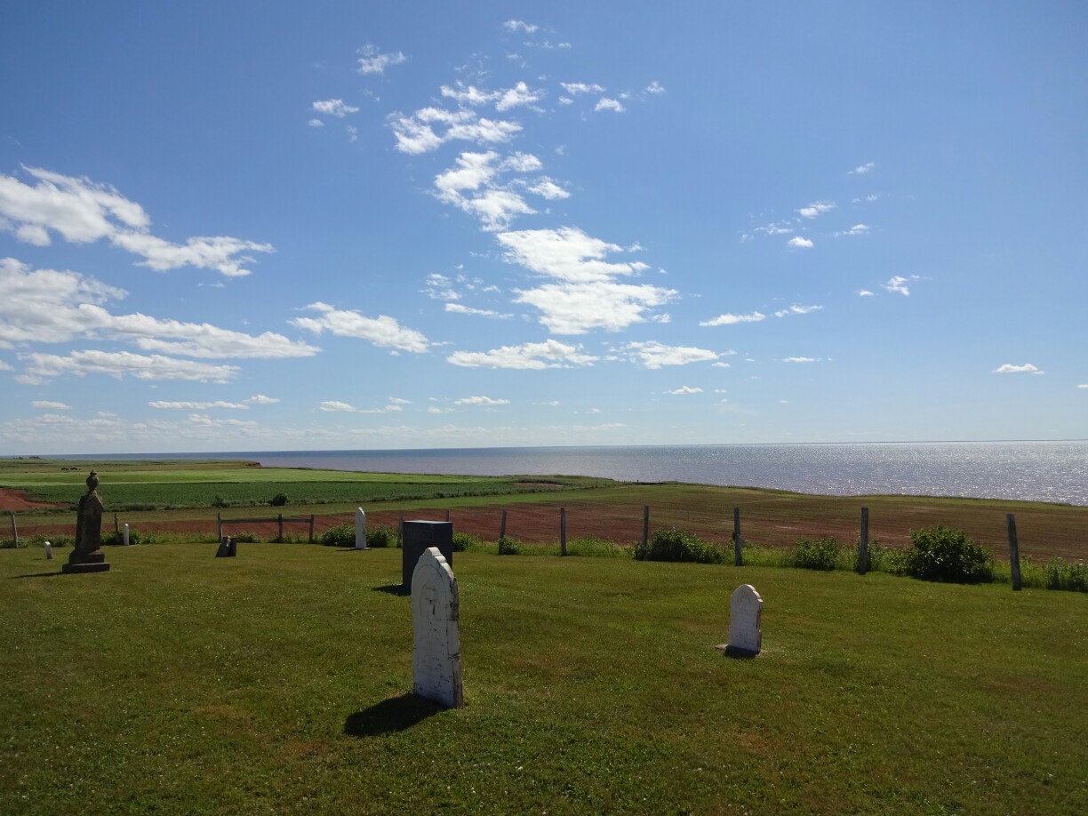
A little further away is “Cape Spear”, another national historic site. This is the easternmost point of Newfoundland and Canada. Two picturesque lighthouses were built here as a guidance towards the harbour of St. John’s, the smaller one was set up in 1955 to replace the older structure. The day was perfect and we could see “Signal Hill” off in the distance. And as we were looking over the dark blue water we saw even more whale spouts!

The new lighthouse at “Cape Spear” with the typical red chairs of Parks Canada

The old lighthouse is a large square building

Back in the city we made our way to “The Rooms” to learn a bit more about the history and the culture of Newfoundland. The most intriguing sight was the well conserved giant squid. The 12m creature weighs about 140kg and was washed ashore on a damp winter day in 1981. It has been studied for research and was donated to the museum afterwards. Other exhibits include artwork by local as well as international artists.

The giant squid is on display in “The Rooms”

The Basilica Cathedral of St. John the Baptist

Land in sight!

I left Fredericton and followed the highway back into Nova Scotia. I still had a day to spare before my friend Eiko was coming, so I decided to make a stop over at the “Five Islands Provincial Park”. By the time I had reached the park, the drizzle had stopped and I could set up my tent with a perfect view of the bay. Since it was still high tide, there was no point in going to the beach, as it was non-existent.

Looking out into the bay of the “Five Islands Provincial Park”
The “Five Islands Lighthouse”

The next morning I packed up everything and headed to the beach. This area of the “Bay of Fundy” is famous for the numerous semi-precious stones that can be found between the high tides. They are deposited by the strong currents or fall down from the mineral-rich cliffs, which are slowly eroded by wind and waves. I did find a cool rock, but I didn’t know if it was just quartz or something more, so I left it there, hidden under a big rock, waiting for the ocean to reclaim it.

The colorful rock formations are only visible from the beach
I decided to take a picture instead of the rock since I had enough luggage

My next stop was also very specific to this area – tidal rafting! And it turned out to be one of my favorite things to do on the east coast. I had booked it with one of the biggest companies on the Shubenacadie River, which had everything perfectly organized. And timing is the key factor here! After everyone had put on their yellow rain gear (for wind protection) we headed to the water, where we could see the tidal bore, a small wave, coming up on the river.

Preparing to go tidal rafting in bright yellow rain gear

We saw giant sandbanks disappearing within five minutes – a 12m difference between high and low tide means that the water level rises 1m per 30 mins on average, often even faster. For the next hour we were riding the up to 2m tall waves created by the tidal currents that pushed the water up and inland. It was a lot of fun and everyone got soaked!  I couldn’t imagine how it would be with 5m waves, the highest ones that our guide had had in her four years of working here.

Back in Halifax it was already nighttime

After a hot shower I drove back to Halifax, where Sarah had successfully defended her Master’s thesis. Together we had a look at the activities offered in the downtown area for the “Tall Ship Days”. The waterfront was full of famous ships, including the “Blue Nose II”, but all of them were already closed for the day. Instead we had a look at one of the busker shows, where a group of international street artists were playing with light and fire.

The street artists were playing with light and fire

As Sarah had more time now, she also showed me the “Crystal Crescent Beach Provincial Park” the next day. It’s not too far from the city and offers hikes along the beautiful coastline. The big rocks reminded me a bit of “Peggy’s Cove”, just without the tourists. That might also have been due to the weather, which was quite foggy, compared to Halifax where we had left while it was still sunny. And as we returned to the city we left the fog behind.

The weather was pretty foggy when we visited “Crystal Crescent Beach Provincial Park”
Fortunately the rocks were not slippery, so we could explore the rocky coastline

All afternoon we walked around the waterfront and tried to get a closer look at the different ships. Most of them were open for a visit, but we didn’t feel like lining up for too long, so we only went onboard the “Blue Nose II”, where everyone was shuffled over the upper deck for a quick look. And after a huge serving of delicious fish and chips in Dartmouth, located on the opposite side of the bay, I drove out to the airport once again. This time it was for Eiko.

On board the “Blue Nose II”
This Spanish ship looked like it was from a pirate movie

Living like the kings

After I had gathered enough energy, I continued the journey through New Brunswick on my own. For most people it’s just a “drive-through province” to get from Nova Scotia to Prince Edward Island or vice versa, but I had a few spare days to discover more. I continued along the Fundy shore until I got to St. Andrews, a small town right at the border to the US. It has several attractions to offer, one of them being the mansion of Sir William Cornelius van Horne.

The mansion of Sir William Cornelius van Horne has fifty rooms
The “games room” is dominated by the giant pool table

In 1888, van Horne used to be responsible for building the Canadian Pacific Railway to connect the country from coast to coast. He managed to do so under time and under budget – pretty amazing for such an ambitious project! Even the queen was impressed and rewarded him with the knighthood. The house, which used to be his summer home, is located on a small island and can only be visited at low tide, when the access road is not flooded. Right next to it is a “bath house”, where he used to go bathing in his natural swimming pool.

The bath house and the natural pool (right side), which got fresh water with every high tide

Another attraction of St. Andrews is the “block house”, a small wooden hut that was used for defense during American civil war. Back then, Loyalists, who were still loyal to the British crown, fled from the states and sought refuge on the Canadian side of the border. There used to be several of these small towers to defend strategic places such as the harbour, but most of them did not survive the troubled times. This one almost burned down a few years ago, when someone purposely set it on fire.

The block house is an old defensive structure right by the waterfront

The block house was heavily armed

After I had walked through the picturesque downtown area with the colourful wooden houses, I continued back inland. I had chosen the “Kings Landing Settlement” as my next destination. It was advertised as a historic reenactment of early days of European settlement in Canada (ca. 1820-1920). I expected something similar to “Fort Louisbourg”, just more focused on the life of the plain people. And I was not disappointed by what I found.

Taking a stroll through the downtown area of St. Andrew’s by the Sea

The old style “Algonquin Resort Hotel” is towering above the city

I followed the dirt road that led from the entrance to a small village. From time to time I had to make way for some of the horse drawn carriages that transported unwilling walkers through the area. But on foot it was easier to take a peek into the printing room, where someone was showing how the manual press worked, or talk to the villagers, who were complaining that the cows had escaped their basic non-electrical fence and had eaten half of one of the vegetable gardens.

Visitors can walk or take one of the horse-drawn carriages

Each house has its own vegetable garden

Another building was home to the village school. One room, where about fifteen students were reciting the poems that the teacher found suitable. Next door was the general store, where the farmers would go for tools and hardware or their wives for much needed household articles. Everything was neatly furnished and decorated and the properly dressed actors completed the picture and brought you back to the times long gone.

The village school has only one room

Time stands still inside the general store

On the way back out I talked to some other villagers, who pointed me the way to the fully functional mill right by the river. On one side was the flour mill, grinding buckwheat into flour while leaving the shells behind. These could then be recycled and used as filling for pillows. On the other side of the river was a sawmill, like it was used for turning logs into thin boards. The giant turning cogwheels made a lot of squeaking noises, but were quite impressive.

Flour mill (right side) and sawing mill (left side) are fully functional

The villagers are happy to give an insight to their daily lives

After leaving the “Kings Landing Settlement”, which probably never saw a king on its premises, I drove straight to Fredericton. Despite being the capital city of New Brunswick, it’s only the third largest city in the province, after Moncton and Saint John and has less than 60.000 inhabitants. It was named after the second son of King William III of Britain – Frederic Augustus. For me it was just a short stop on my way back to Nova Scotia.

Fredericton has several grand buildings despite its relatively small size

The old barracks are now in the city center

Wel(l)come to New Brunswick

Slowly Raghu’s time on the east coast was coming to an end. His flight back to Calgary was leaving from Saint John in New Brunswick. We said farewell to the island and took the impressive 13 km “Confederation Bridge” that connects Prince Edward Island to the mainland. We continued on the main highway and arrived in Moncton, where we had heard about the “Magnetic Hill”. This is an optical illusion, where cars can defy gravity and go uphill in neutral gear.

The “Confederation Bridge” connects Prince Edward Island with New Brunswick
“Magnetic Hill” is an optical illusion, where cars can defy gravity

After this short but amusing stopover we changed direction and drove down to the coast. This is where the “Hopewell Rocks” are located at the Bay of Fundy. And this time I had looked up the right tide tables, which was important as we wanted to witness the highest tides in the world. We arrived exactly at high tide and hustled to get a good view of the famous cliffs. But except for a few people in kayaks there was not much to see. And the tall rock columns looked more like their nickname – “Flower pots”.

High tide at the “Hopewell Rocks” is popular for kayaking

Since the tides are about six hours apart, the tickets are valid for re-entering during the next two days. So we decided to leave the muddy brown waters behind to look for a nice lunch spot. We followed the coastline and found a picture perfect calm bay at “Cape Enrage”. With the sun shining from the bright blue sky and a happy stomach it was difficult to get going again. But we had to hurry up, if we wanted to set up our tent at the “Fundy National Park” and return to the “Hopewell Rocks” on time for the low tide.

“Cape Enrage” was a lot less crowded than the “Hopewell Rocks”
The bay was a perfect spot for our picnic

And once again luck was on our side and we managed to get the last spot at the campground in the national park. Once we had set up our tent it was time to head back. We parked our car in what seemed to be the same parking lot, but when we got to the viewing platforms, we couldn’t believe our eyes – there was hardly any ocean in sight! The water had retreated quite far, leaving behind a red and muddy landscape, scattered with deep channels.

The sea as we had seen it a few hours before…
… had turned into a muddy landscape with deep channels

Where there had been kayakers just hours ago there were now dozens of people walking and exploring the ocean floor. Of course we also headed down the stairs to have a look. Soon we realized that we had to take off our shoes in order to get a closer look, there was just no way of avoiding the more than ankle deep mud. It was definitely a cool experience and quite puzzling to think about the fact that this had been covered by more than ten meters of water the last time we had been here.

Now we were able to explore the sea floor
It was impossible to avoid the mud, so we just took off our shoes

After this hands-on, or rather feets-on experience we were happy to find a cleaning station at the top of the cliffs, where we could wash off the mud with high pressure hoses. By then we had decided to go back to the bay at “Cape Enrage” for what we thought would be a suitable location for an awesome farewell dinner. But the slight wind that had been there during lunch time had died down, giving hundreds mosquitoes the chance to take over the beach. Somehow we managed to cook, but eventually we retreated to car for dining in peace.

The cleaning station on top of the cliffs was well in use
The mosquitoes had turned our perfect spot into a little nightmare

For the next day we had looked up a nice hike in the “Fundy National Park”, but there was a lot of construction going on and we couldn’t reach our chosen trailhead. Instead we changed our plans and went on a short hike through the woods around “Bennett Lake” and “Tracey Lake”. It was nothing spectacular, but it was nice and quiet and a good place to calm down after everything we had seen the last few days.

The family version of the typical red chairs at “Bennett Lake”
After a short hike through the woods it was time to say goodbye to Raghu

From here it was not far anymore to Saint John, where I had to say goodbye to Raghu. And while he was heading back to Calgary, I was resting some more to get my diary up to date before returning to Halifax to pick up my friend Eiko.

Water, wind and waves

After Dave and Anne had left for their camping trip, we moved our base to Charlottetown for the next two days. And even when they were not around, we were able to stay at their townhouse, thanks to the great Canadian hospitality! With its 42.000 people Charlottetown is the biggest city on the island and also the capital of the province. For our further exploration of the western part of the island it meant that we were saving about an hour’s drive each way.

Charlottetown is the capital of Prince Edward Island

Since we hadn’t found the small rocky cove the day before, we tried our luck again. This time we were more successful. We parked our car close to the beach and walked the short distance to the “Thunder Cove”. As we were getting closer, we could see that this was the spot that we were looking for. The fine red sand had turned into red sandstone, which is slowly eroding being exposed to the sea. It invites to take off the shoes and explore some more, where the water level makes it less easily accessible.

Exploring the “Thunder Cove”

This was the picture we had seen in some travel brochures

On the way back we took the longer road that followed the southern shore of the central part of the island. We found more red and white striped lighthouses and rolling fields of potatoes, for which PEI is also known for. In the distance we could still see the dark clouds, which had been gathering all day above Charlottetown. And just when we had reached the house it started pouring rain like there was no tomorrow. The soundtrack was completed by the deafening thunder as the lightning struck somewhere close by and the firefighters came rushing in to check on the neighbours.

Prince Edward Island is also known for its potatoes

The next day there were no traces left of the thunderstorm from the night before, except that our car was now clean and shiny as if it was brand new. This did not last very long, as we had planned to drive up to the northern tip of the island. There, the “North Point Lighthouse” is warning incoming ships about the large reef just below the surface. At low tide it is possible to go and explore it. That’s what we wanted to do initially, but I had somehow looked up the tides for a different location, so that the reef was completely covered by water when we got there.

The reef at “North Point” was fully covered by the sea when we got there

But not only the shallow water led to lots of whitecapping on the ocean. It was also the wind that was constantly blowing as a strong breeze. And since this is the norm and not an exception, they have decided to make use of the wind by putting up numerous wind turbines, turning the whole area into a wind farm. A short interpretive trail leads along the steep red cliffs at the base of the tall white towers. And despite the constant sound of the blades cutting through the wind, it makes a great picnic spot with a fantastic view!

We followed a small trail through the red rocks and white windmills

There was a tall cliff just behind the fence

Back at the car we decided to follow “Highway 14”, a small road that follows the shoreline all the way to West Cape. Here, a square black-and-white tower was waiting for us to be added to our collection of lighthouses. The beach next to it tried convincing us to dip into the water, but air and water temperature were much colder than the day before, so instead we jumped back into our car and headed back to Charlottetown to spend our afternoon there.

An old graveyard next to “Highway 14”

The black-and-white lighthouse at West Cape made for a nice change

The downtown area of the capital is quite small, so had plenty of time to walk up and down the main street to the harbour and back in search for some rum cake for Raghu. He wanted to take some back to Calgary and had missed the chance to get them in Halifax. Now he had to accept the fact that they were much smaller and more expensive over here. At least we could still get the world’s best ice cream from “Cow’s creamery”, which is originally from the island!

The harbour of Charlottetown

Little restaurants line the streets of the downtown area