Tag Archives: El Chalten

Racing time

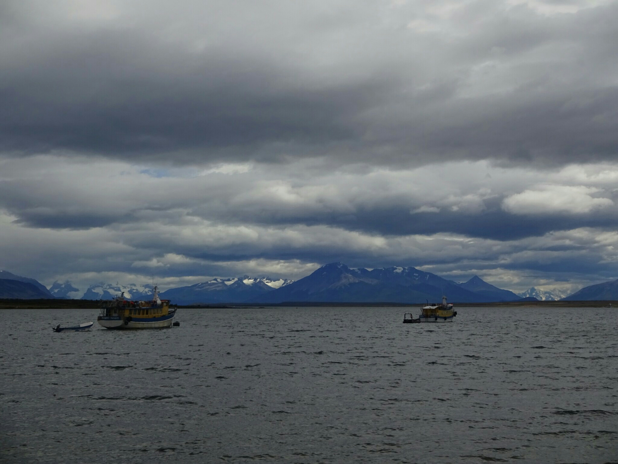
After the “Huemul Circuit” we needed one day of recovery, just relaxing at our campground. The weather was also pushing us for a break, as it was really windy and a constant rain started in the afternoon . So instead we wanted to cook a bit more fancy than just pasta and tomato sauce, but even the most simple dish can be quite difficult to make when all the supermarkets are empty. Looking back we were quite happy that we had brought our food for the trail from Chile.

Empty supermarkets were normal in El Chalten

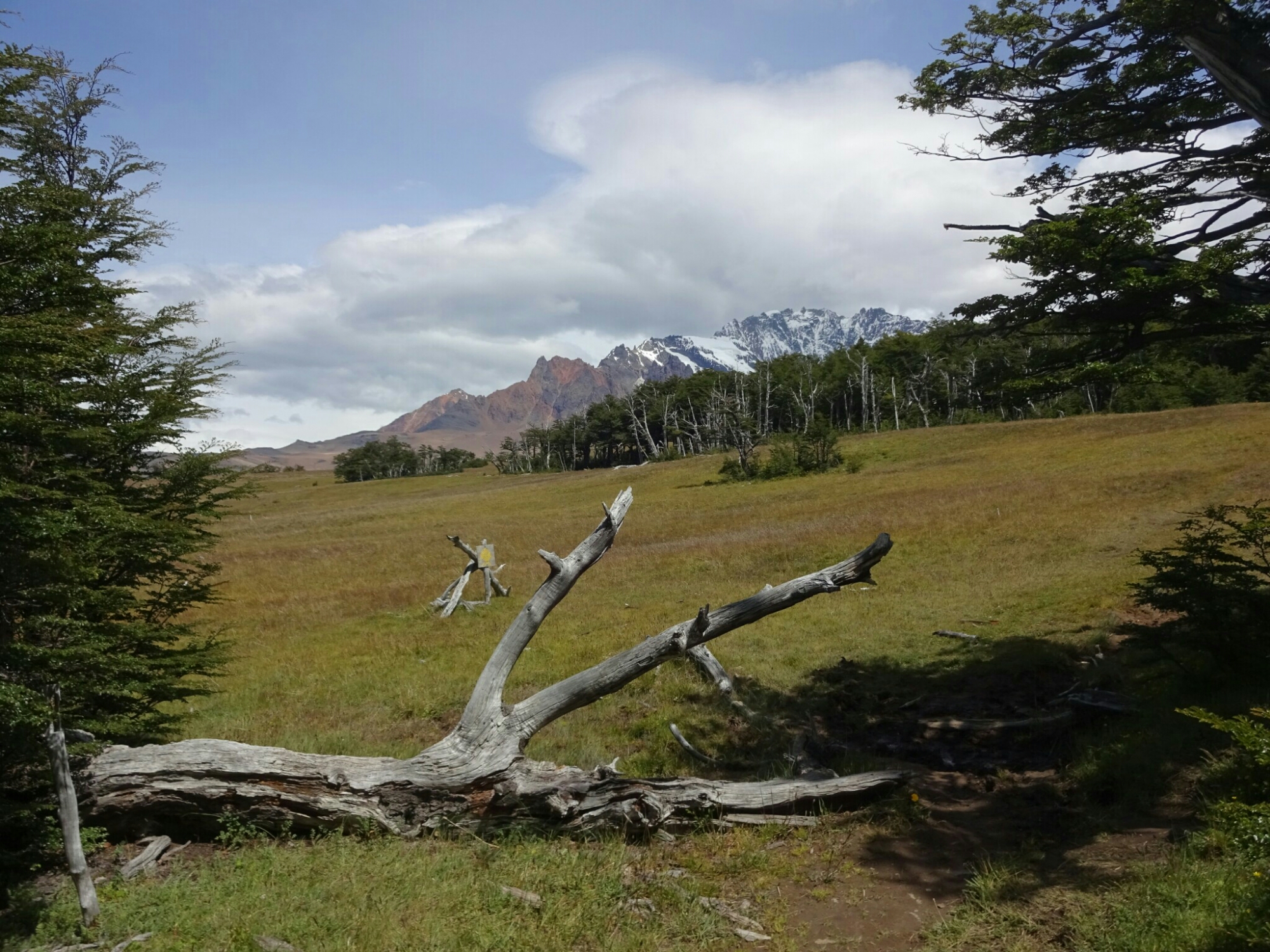
The next day the weather was looking great again and we had all day until 8pm, when our bus was scheduled to leave for Bariloche. By the time we had repacked our backpacks, it was almost noon. However, we still wanted to get a closer look at one of the major attractions of El Chalten – Mount “Fitz Roy”. The hike to the viewpoint at the “Laguna de los Tres” takes usually a full day, but we had only half a day left.

On our last day in the area we decided to take a closer look at Mount “Fitz Roy”

Fortunately most of the trail is relatively flat, so we managed to keep up a fast pace up to the last steep ascend. In contrast to the “Huemul Circuit”, this hike was really crowded, as it is also a very popular hike with all the day-tourists, who come from El Calafate for just one day. Therefore, we didn’t want to stay at the laguna for much longer than a short snack break. The way back was a little faster so that we reached the campground on time to collect our belongings and head to the bus terminal.

It was a bit difficult to get a picture without tourists at the “Laguna de los Tres”
We passed by “Laguna Capri” on the way back down

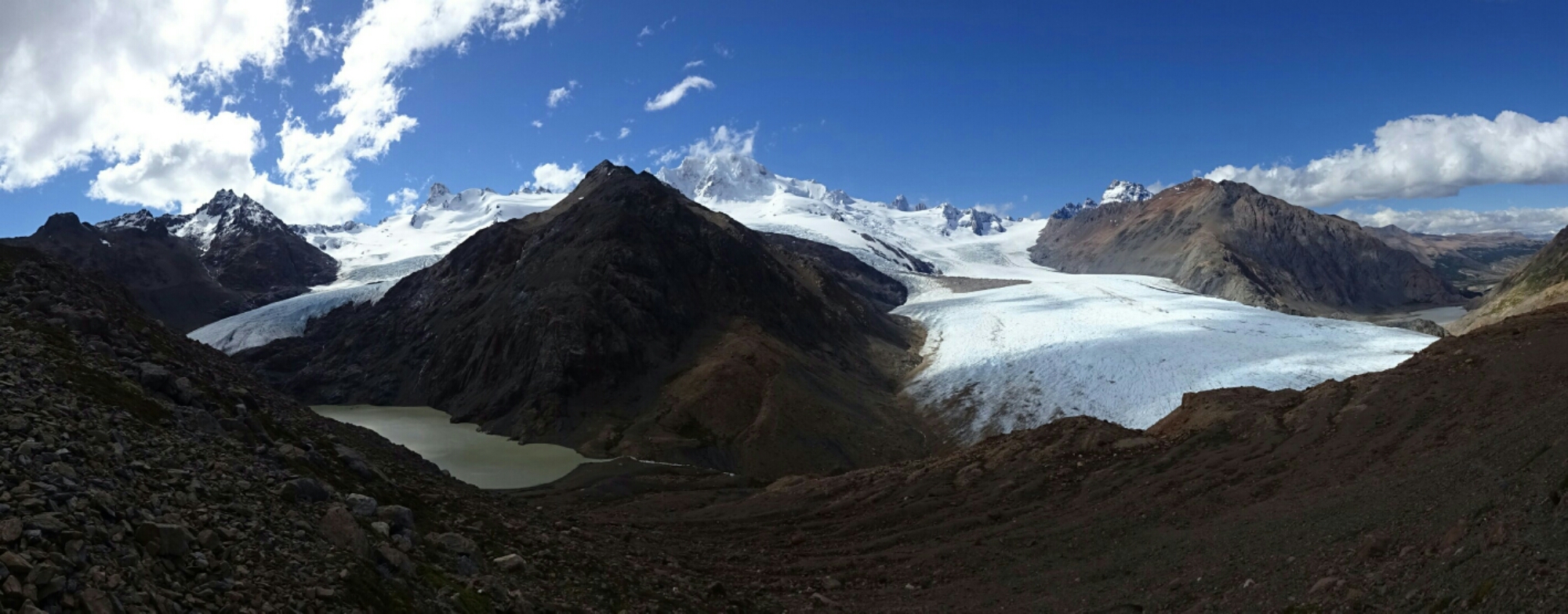
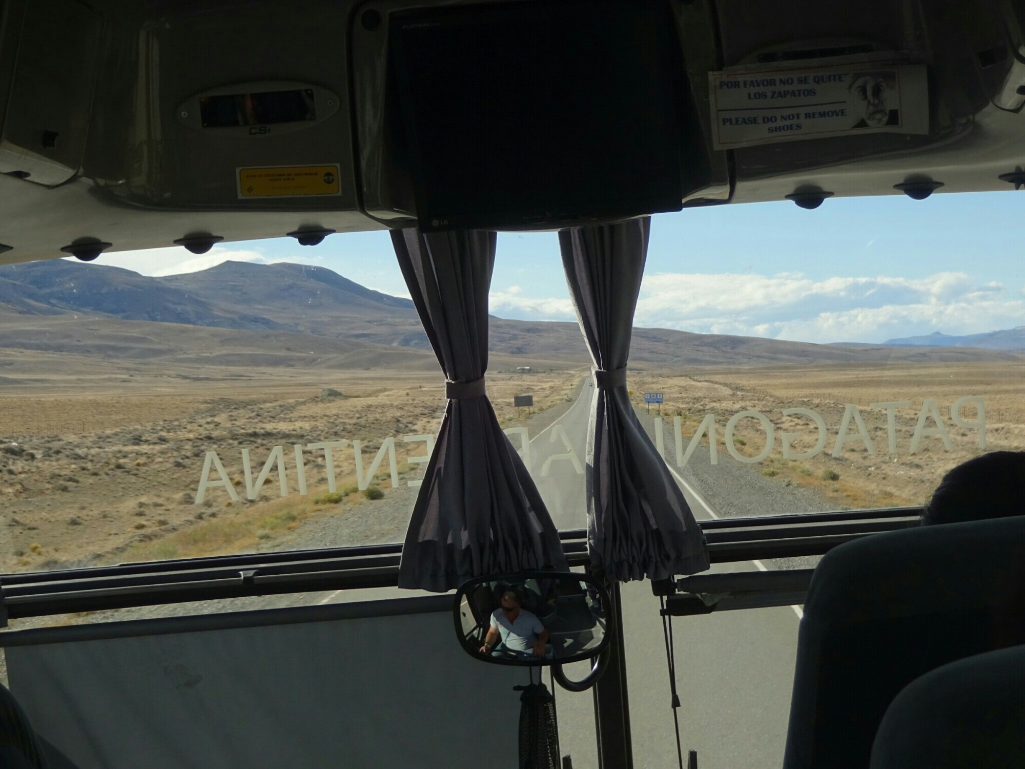
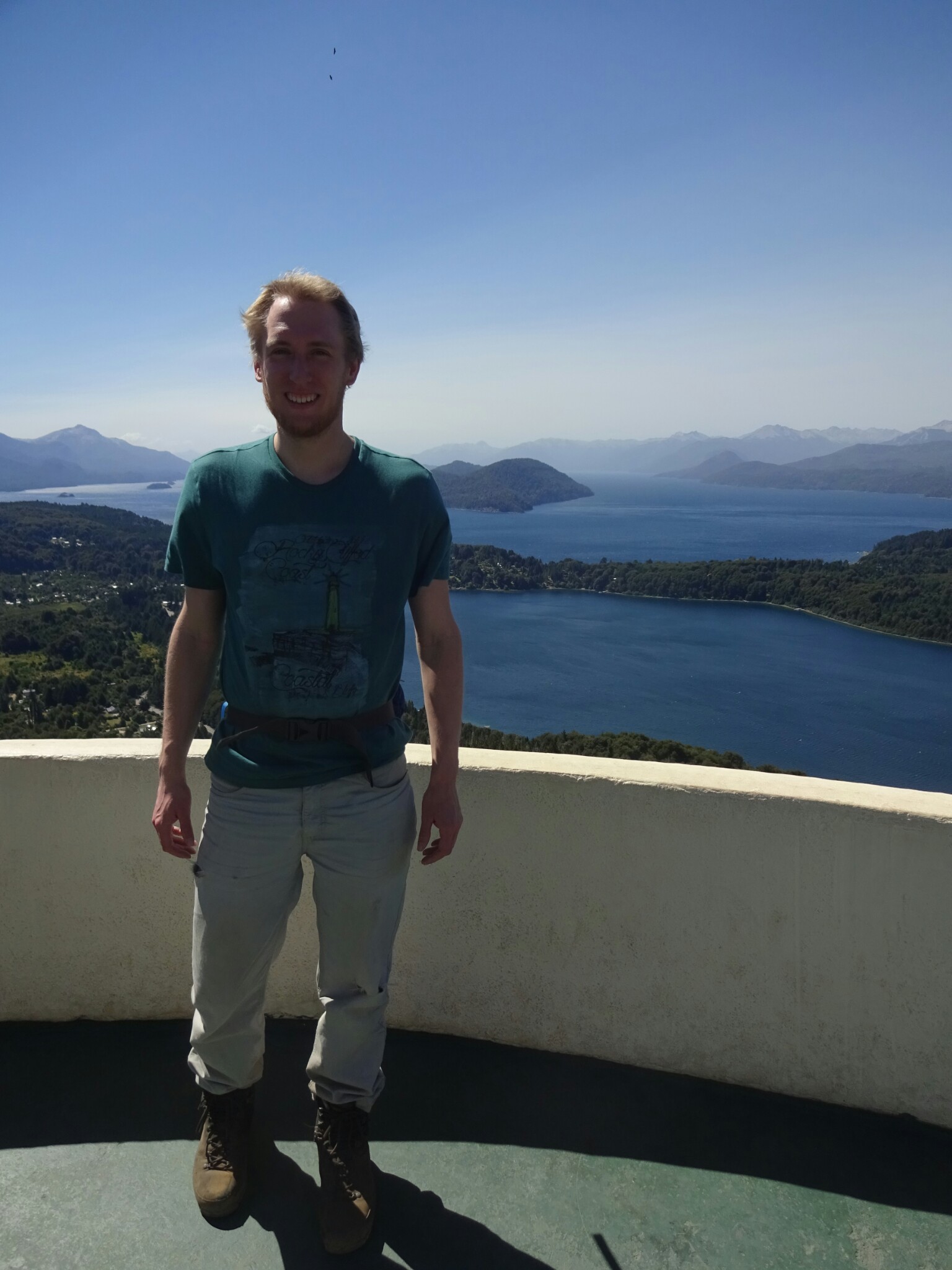
For the next 24 hours the bus was our home, taking us more than 1300 kilometers north, back to Bariloche. It was a long way, but Benno’s flight was leaving from Santiago – even further north – and he had only about a week left. To reduce a bit of the hustle, we picked two towns, where we would spent most of the time. One of them was Bariloche, where I showed Benno my favorite spot in the area, “Cerro Campanario”, before discovering something new – “Cerro Catedral” and “Rifugio Frey”.

The view at “Cerro Campanario” was even better than last time

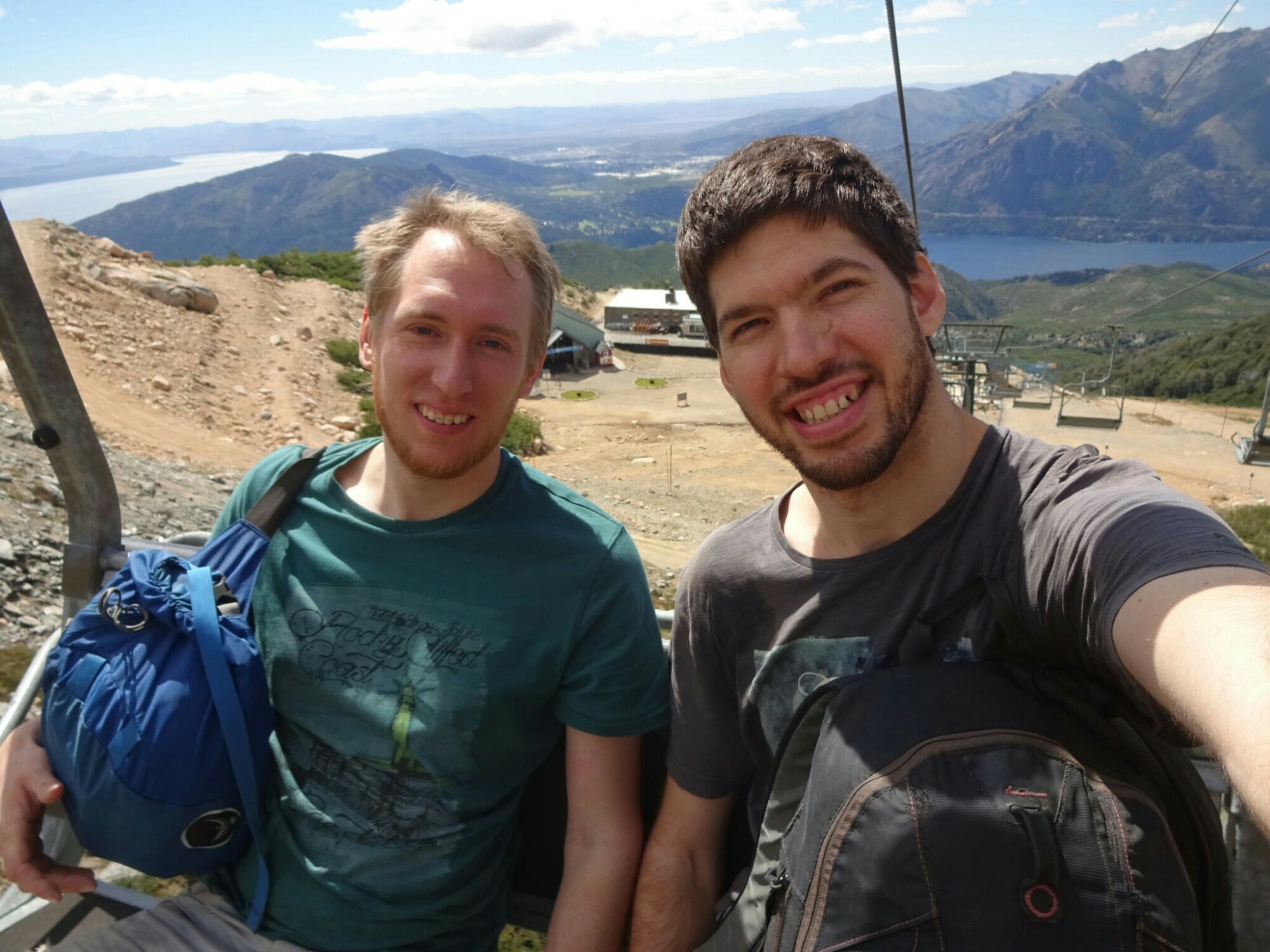
The hike around “Cerro Catedral” was another full day trip. Our travel guide had estimated the time for the whole trip to take around ten hours. As we needed to take a bus to the start of the trail, we were dependent on the bus schedule (once per hour), leaving us only about eleven hours in total. We could have taken two lifts up to save some time and most of the ascend, but it was way too expensive and we preferred to invest our money in a nice steak for dinner, which was about the same price.

The ascend from Villa Catedral was steep and mostly on ski slopes

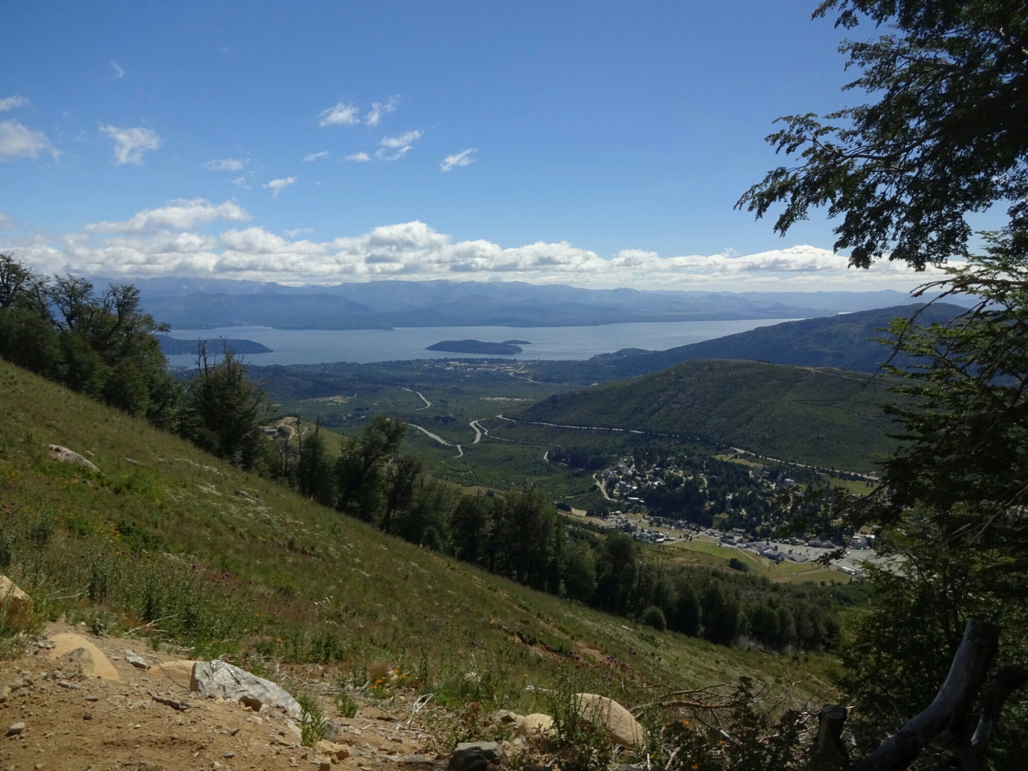
During winter, the slopes of “Cerro Catedral” turn into the most famous ski resort of the area, so the way up was mostly on ski slopes or on gravel roads. However, higher up the trail was closed as they were working on the slopes. This turned out to be even better for us, because we were allowed to use the second lift for free. We also had a clear conscience, as we had intended to walk all the way, but couldn’t due to the trail closure.

We got lucky and had to take the second lift – for free
Beyond the pass lies the Nahuel Huapi National Park

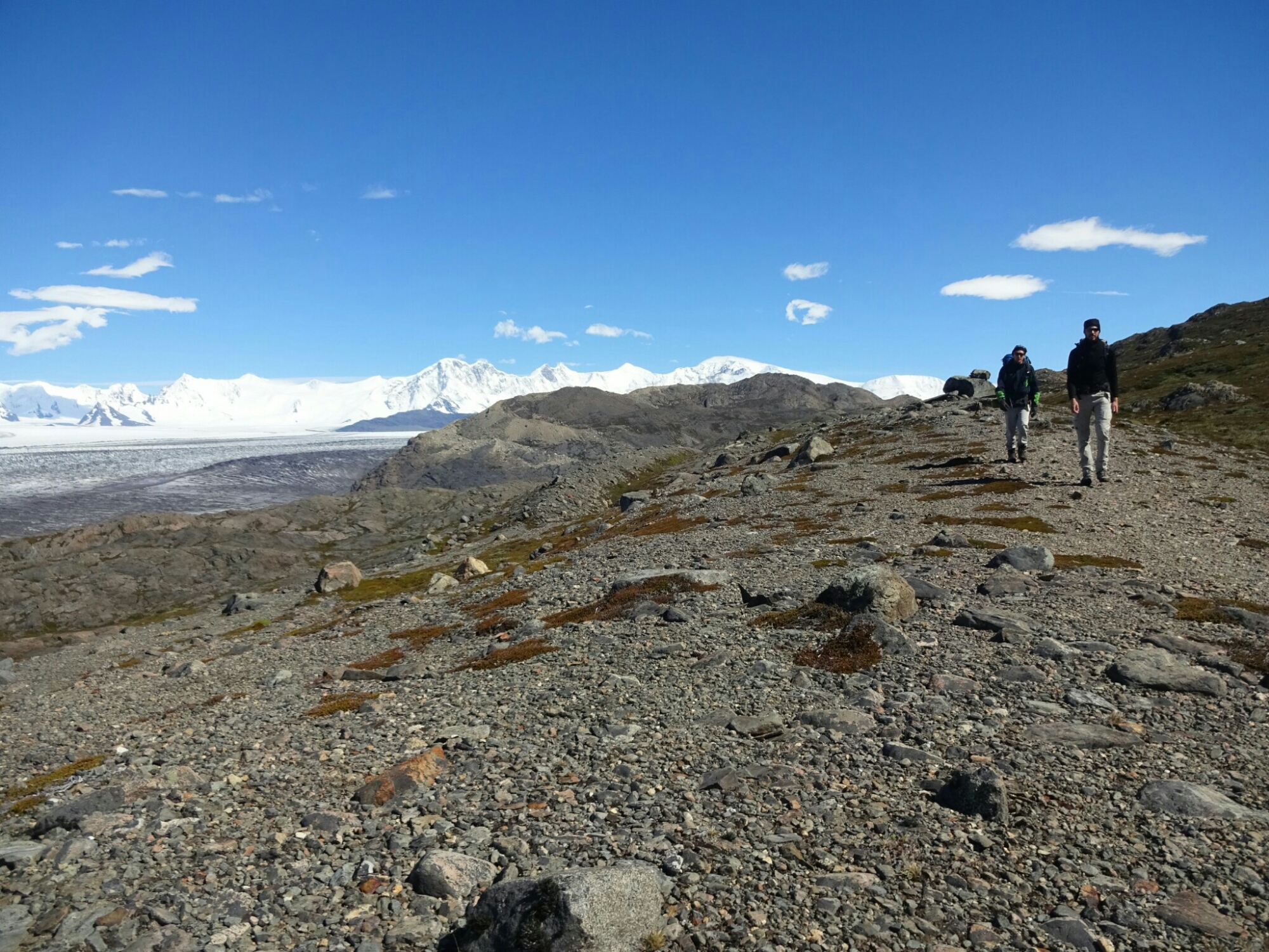
The trail continued from the upper lift station. Shortly after we turned off the main trail, which was full of people who had taken the lift all the way, and like on the first part of the ascend we were the only ones on our trail. This time the landscape was completely different and the whole mountain side was covered in rocks of all sizes, which required a bit of scrambling (easy climbing) as well. It was a lot of fun and we enjoyed it very much, as we felt that we were good on time.

The landscape had changed and required some scrambling
Behind the broad mountain pass…

In the early afternoon we reached a broad mountain pass and started our descend into the neighboring valley, which contains two picturesque lagoons and the “Rifugio Frey”. Here, the number of tourists increased quite a lot, because there is an easier way to get to the hut. We chose to do this for the way back, as it is less steep. The trail was really pretty with all the flowers that were growing on the surrounding forest floor. However, the end turned out to be a bit tiring, because the landscape didn’t change as much anymore.

… lies a nice valley with two lakes
“Refugio Frey” is very popular with day tourists, who come from the other side
Ducks enjoying the solitude at “Laguna Tonchek”

In total it was still a nice hike and we even managed to finish it in only seven hours, including the breaks we took along the way. By the end of the day we got back to Bariloche quite early and still had some time to relax, before heading out for another grand steak at “El Boliche de Alberto”.

The forest floor is covered in flowers on the way back to Villa Catedral
The last part of the trail is along “Lago Gutierrez”

Circuit of air, water, earth and fire

Once we had all the required equipment together we were eager to get started. The next morning was perfect for our hike – blue sky, sunshine and not too much wind. We registered at the park office, which is for free but mandatory, and started the “Huemul Circuit” – or as we named it “Circuit of the elements” – a four days hike totaling about 60 kilometers. Our backpacks were quite heavy with our camping equipment and all the food, but we didn’t mind, because we were fresh and looking for some adventures.

A fresh start into our new adventure

The first day was an easy one with trails gently going uphill through nice forests and swampy grassland. In the afternoon we reached the valley of the Tunel River and got a good view of the “Cerro Huemul”, which will be by our side for the next few days. To reach the campsite, we had to cross some smaller rivers on rocks, tree trunks or barefoot. We hardly met anyone during the day until we got to the campsite, located under some tall Lenga trees. About 15 tents were pitched by the end of the day, making it still a rather quiet place to stay.

Forests and swampy grasslands dominate the first part of the journey
Descend into the Tunel River valley

The weather forecast had predicted strong winds during the night and some rain until about 10am the next morning. This proved to be pretty accurate. The winds had no effect on us, because we were sheltered by the Lenga trees and by cliffs on two sides of the little forest. However, when we checked the front of the tent at 6am, we found a large pool of water which had gathered there and was threatening to enter our backpacks and the inside of our tent. We acted quickly, moved our backpacks inside the tent and dug a trench to drain the water.

Getting up at 6am to prevent our tent from getting flooded
The aftermath of the first night – but our tent stayed dry

Sure enough the rain stopped at 10am and we had managed to keep everything dry. When we left the tent to pack up, I ran into Dan, the guy from Israel whom I had met in Bariloche. He had arrived late last night and was quite unlucky, because had pitched his tent in a spot, in which a small river had developed during the night. Now most of his stuff was wet, but he had to return to El Chalten anyways to meet up with Dor, the other guy from our trip in Bariloche.

An unexpected encounter in the middle of nowhere – Dan from Bariloche

We continued the trail past Laguna Tunel, where the terrain was only rocks without proper trail markings, making it quite difficult to follow at times. But eventually we found the first river crossing, where we needed our rented equipment: It was a single steel rope with a little trolley. Here we met Steve and Jenn, both Canadians, and two Germans. Together we formed “Team River Crossing” and helped each other with the passage.

“Team River Crossing” at work
The glaciers of “Cerro Grande” at the end of the Tunel River valley

The following part of the trail was a long and steep ascend to the “Paso del Viento”, the pass of the wind. On the way we had beautiful views of the Tunel River valley and the glaciers of “Cerro Grande”, but also had some troubles with unstable or non-existing trails to avoid walking on the glacier, which we were not equipped for. And although the wind was not as strong as in the morning, it was blowing quite strong and cold up on the pass. It was all worth it – the view of the Southern Patagonian Icefield couldn’t have been more rewarding!

Luckily the winds at the “Paso del Viento” were not as strong as in the morning
A stunning view of the enormous Southern Patagonian Icefield

The camp for the night was located at a little lagoon in a small valley just behind the pass. Here we were only eleven people. And the forecast was right again as it stayed dry and calm, but it got very cold. The night proved to be perfect for star gazing, which we did from within our tent, where we could stay in the warmth of our sleeping bags. There was no moon and no artificial lights, but also no camera with long exposure to capture the clear view of the milky-way.

The second camp hosted even less people and was located at a small lagoon

From the lagoon the trail continued more or less at the same altitude with more views of the Icefield and the Viedma glacier, which extends from the Icefield. The highest point for that day was the “Paso Huemul”. The way down was the challenge of the day, as it was straight down and therefore very steep. To add some difficulty, the whole trail was covered with the thick branches of Nire shrubs and their roots, which sometimes crossed the path at knee-height. After we lost 700 m of altitude, we reached that day’s destination – a bay full of icebergs.

The icefield was in view for most of the day
The Nire shrubs added some difficulty on the descend to “Lago del Viedma”
Camping with icebergs is not as cold as you may think

The last day began with a firework of colors as the sun rose over our quiet bay of icebergs. After we had packed up, we hiked to Tunel Bay, where the trail ended. This part of the hike was not very challenging, just long and mostly flat. However, we were still happy that the forecast was wrong for today, because it would have been very difficult with the predicted storm-like winds. Still, we felt like celebrating and did so with Steve and Jenn and a delicious steak dinner.

The sky was on fire at sunrise
Another river crossing was waiting for us just before Tunel Bay
The steak we had with Steve and Jenn was well earned

On the way to wonderland

Close to Punta Arenas is the most famous National Park in southern Chile – Torres del Paine. I’ve seen pictures of rocky mountains and turquoise lakes, the landscape you imagine, when you think of Patagonia. But the closer I got to it, the more I read and heard about the tons of tourists, who come here every year during the peak season (December through February). Plus, it’s really complicated if you want to do a multi-day hike, because you need to reserve the campgrounds, which are managed by three different companies and they’re all booked out months in advance.

The closest we got to Torres del Paine was our layover in Puerto Natales

Therefore we decided to try our luck in El Chalten, Argentina’s hiking capital in Patagonia. It’s supposed to be less crowded, more relaxed and the campsites are free and without reservations. To get there, we had to cross the border back into Argentina, which was much easier than getting to Chile up in Bariloche. Our journey led us through El Calafate, another major tourist hub in the area. However, most people fly in and out, staying only a few days in the city.

El Calafate was on our way to El Chalten

El Calafate is well known for the massive glacier, which is located about 80 km west of the town. The “Perito Moreno” glacier is special, because it’s the only glacier, which hasn’t been receding in the last decades. It’s easily accessible, as it reaches down to about 200 m above sea level and gives an impressive sight with its width of more than 5 km.

One half of the Perito Moreno glacier
The glacier is 50-70 meters high at its end

The glacier is part of the South Patagonian Icefield and flows straight into a mountain side, cutting the lake at its base in two. The lakes are still connected through a large tunnel in the ice, which allows for the lakes to maintain their water level. And every time a big chunk of ice breaks off, it plunges into the water sending a wave of ripples across the calm surface.

The glacier runs into a mountain and separated the two lakes

There is a large system of boardwalks, which helps to spread the tourists, making it feel like a little less crowded than it actually is. It also gives the opportunity to get a good view of the glacier from different angles. However, half a day is more than enough to see everything, as we didn’t want to spend a fortune on a boat cruise or a glacier walk. Instead we used the afternoon to get to El Chalten, which is just a few hours northeast of El Calafate.

Benno joined me for three weeks
First row on the bus to El Chalten

El Chalten proved to be a quiet town with only about 6000 inhabitants, but excellent hiking possibilities. The weather forecast was promising and we had soon spotted our desired multi-day hike – the “Huemul Circuit”. But we couldn’t start right on the next morning, because we had to rent some equipment, which was only available later that day. After organizing everything else,  we went on some shorter hikes to the “Mirador de los Condores” and the “Mirador las Aguilas” for a  first impression of the area.

The condors were nowhere to be seen, probably because of the strong winds
A great view of “Lago del Viedma” from the “Mirador Las Aguilas”