Lima – city of contrasts

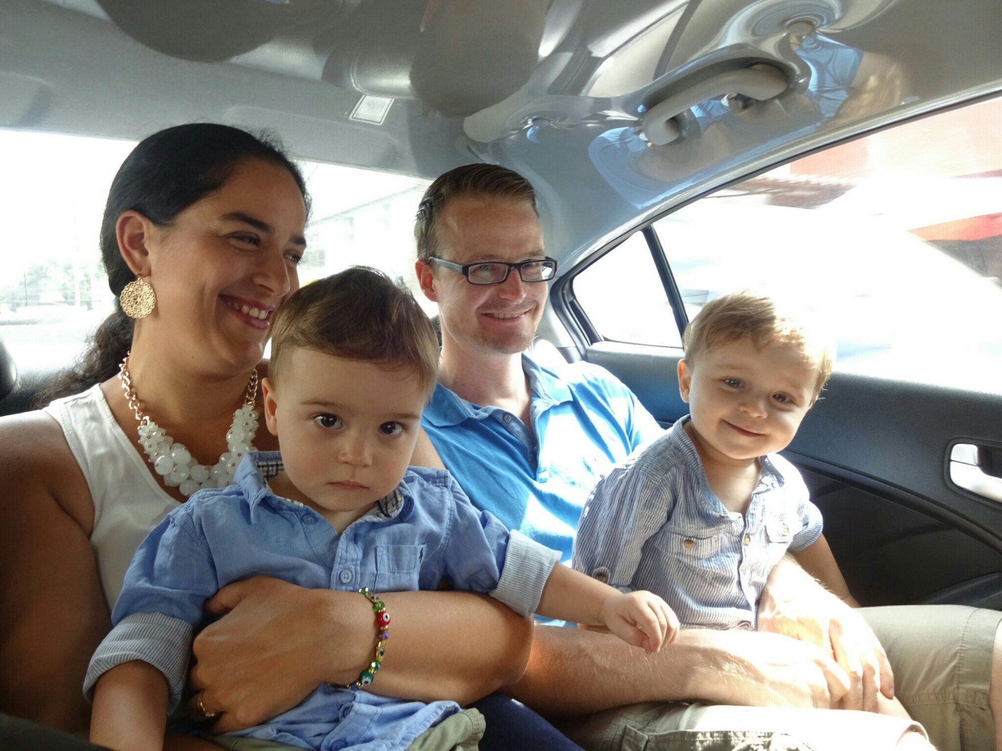
From Santiago I took a plane to go all the way to Lima to meet up with my friend Frank from Hamburg. He is taking two months parental leave to live in Lima with his wife, Lu, and their twins Mateo and Mariano. Lu is from Peru, so this is the chance for her family and friends to spend some time with them. For me it was also nice to get a break and have a few days to recover from traveling.

Visiting Lu, Mateo, Frank and Mariano in Lima

Therefore, I didn’t mind to join them on their daily routines for a few days. And even though they are in Lima, it’s not like real holidays, because the kids need to be entertained for most of the day. They get up early, take their time for breakfast and spend most of the morning in different parks and playgrounds until it gets too hot to be outside. And after some sleep during midday, Mateo and Mariano need to get their lunch before it’s time to keep mom and dad busy while playing in the living room. It’s really a full time job!

Keeping the kids entertained in one of the neighboring playgrounds
Every Saturday is a hands-on music performance in the Reducto park

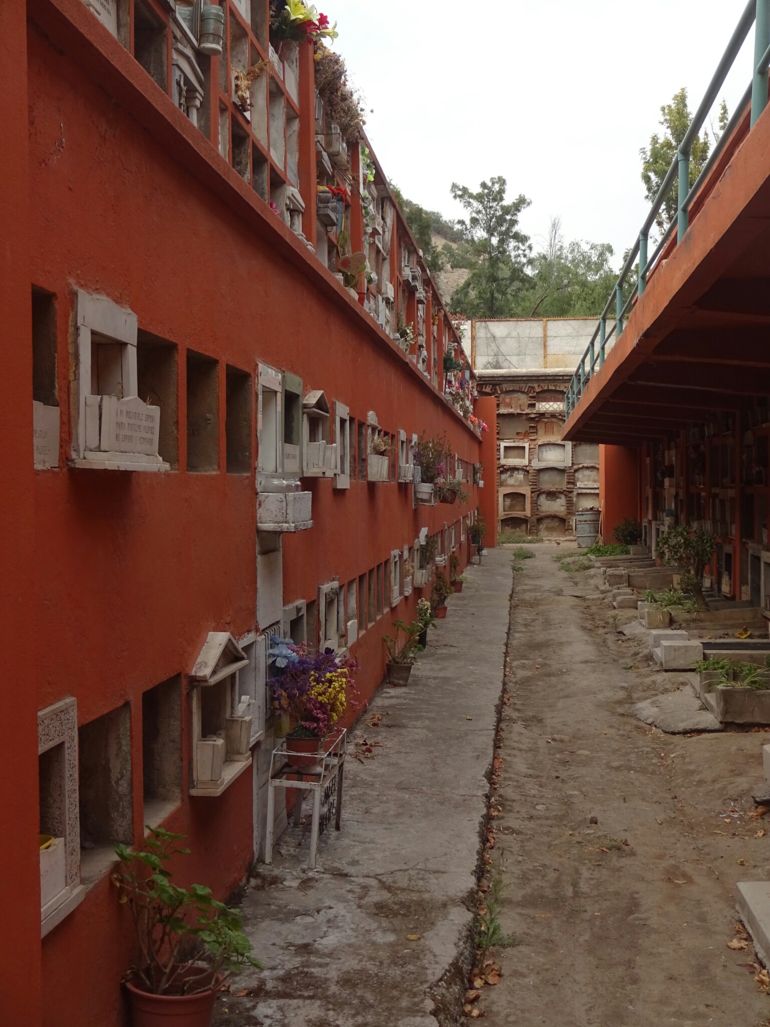
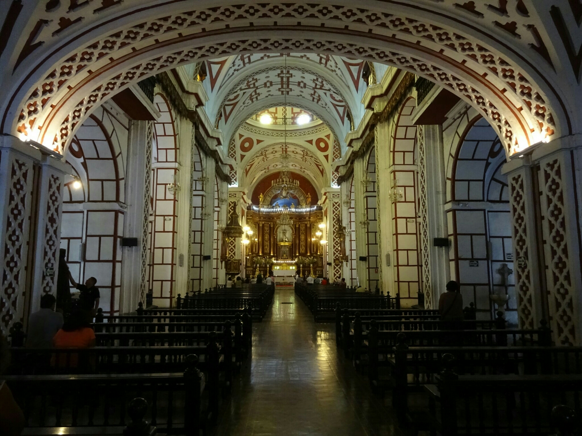
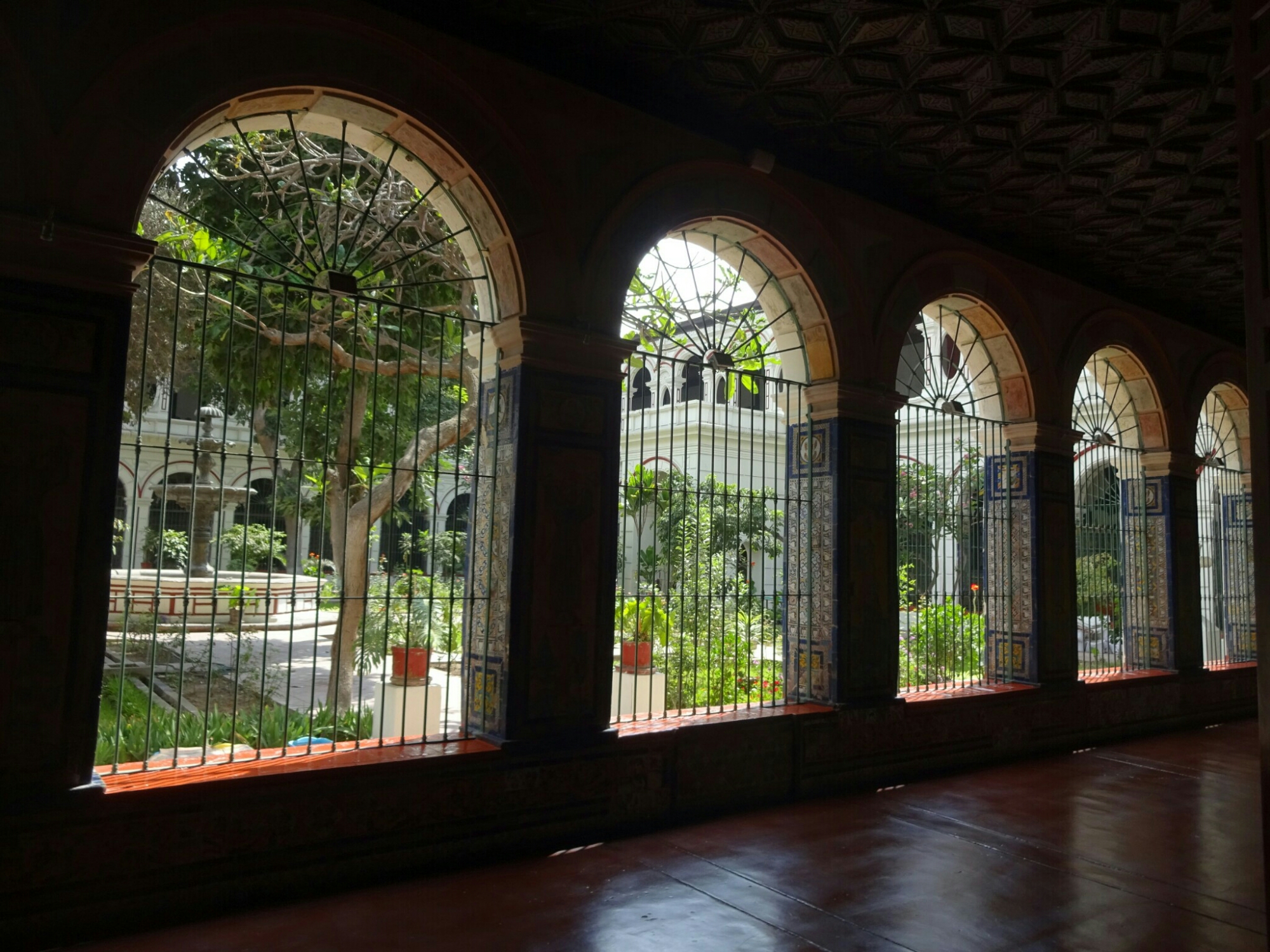
Lu’s mother is staying with them for the whole time, so she was helping out a little bit as well, which allowed Frank and me to spend half a day exploring the city on our own. We walked around downtown and found the “San Francisco de Asis” church and monastery by chance. I had heard about this church before, which has the earthly remains of thousands of people in its catacombs, as it used to be the main cemetery for Lima.

The “San Francisco de Asis” church in downtown Lima
The neighboring monastery and the catacombs can be visited on a guided tour

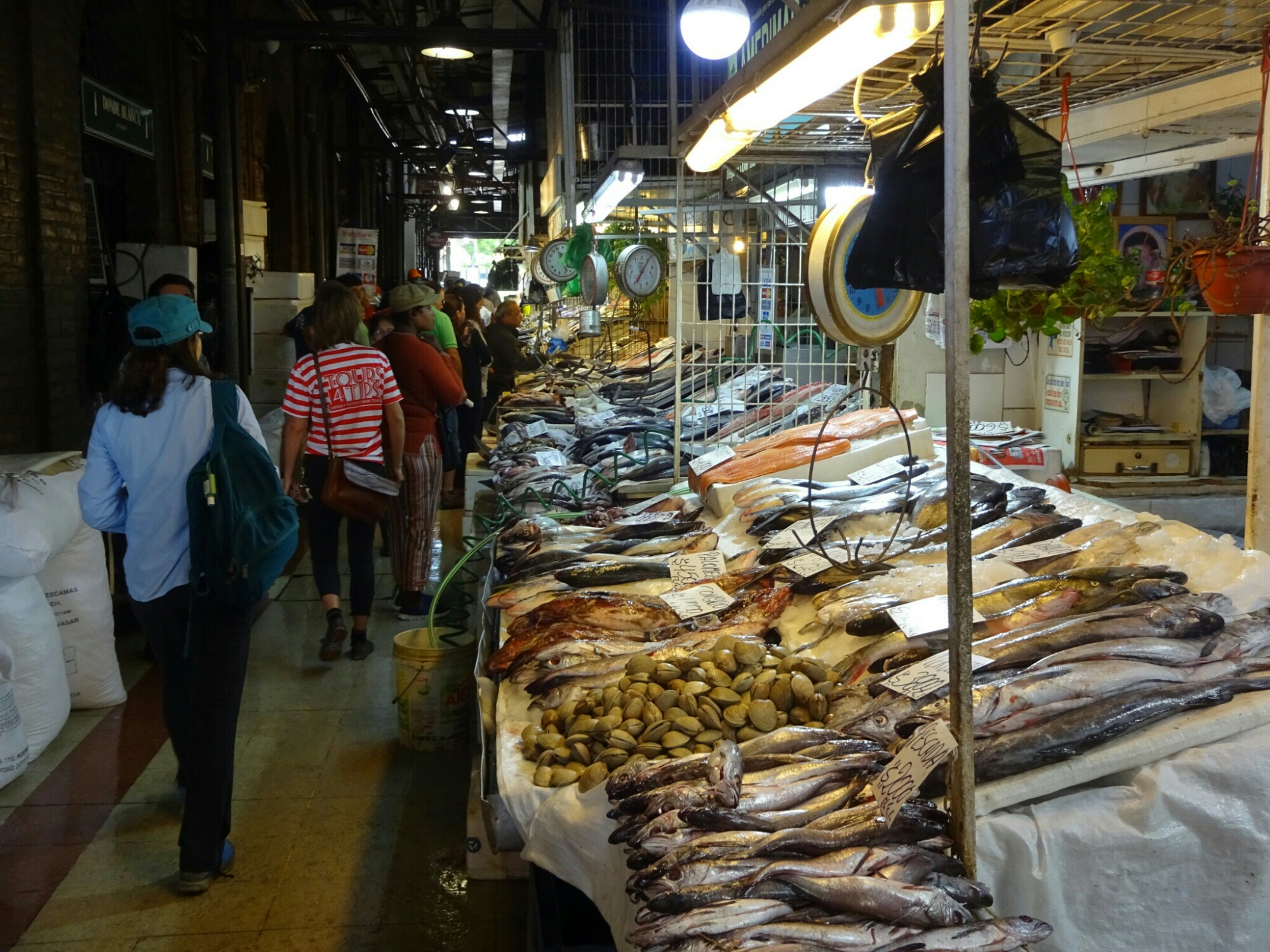
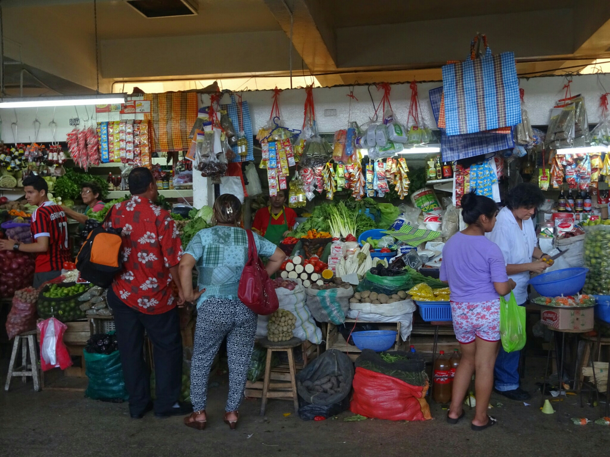
About five blocks away is the central market, where they sell everything: From underwear and clothing, spices, fruits and vegetables to cheese, seafood and meat, which had surprisingly almost no flies despite hanging there most of the day without refrigeration. A lot of it is probably bought and used by the restaurants in the neighboring Chinatown, which is home to the largest Chinese population on the southern hemisphere.

The central market has lots of raw meat on display
They sell almost everything in their little booths

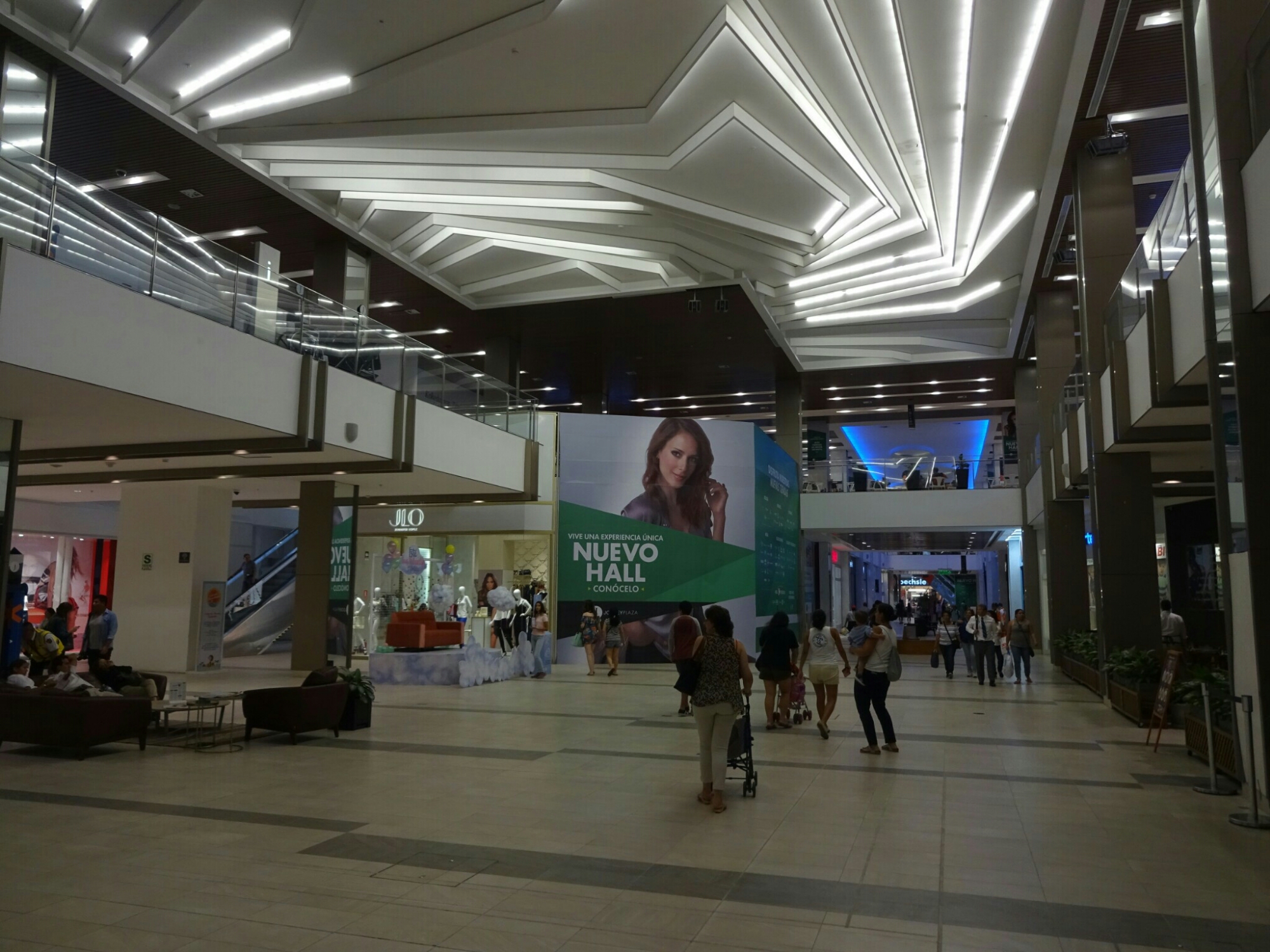
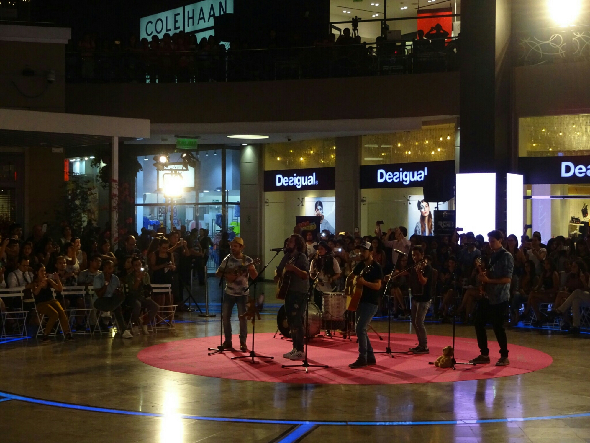
Afterwards we returned to the apartment to pick up Lu, the kids and Lu’s mother for an afternoon at one of the biggest malls in town, the “Jockey Plaza Shopping Center”. This was the total opposite of what we had seen in the morning. Here, everything was clean, new and quite expensive. However, we didn’t come here for shopping. Instead we kept entertaining Mateo and Mariano with a giant sandbox and a hairdresser for kids until the evening, when Lu’s cousin was playing with his band “We the Lion”.

The “Jockey Plaza Shopping Center” is the complete opposite of the bustling Chinatown
Lu’s cousin is playing with his band “We the Lion”

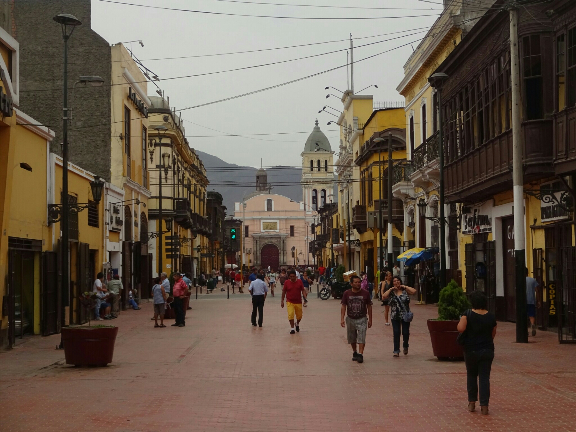
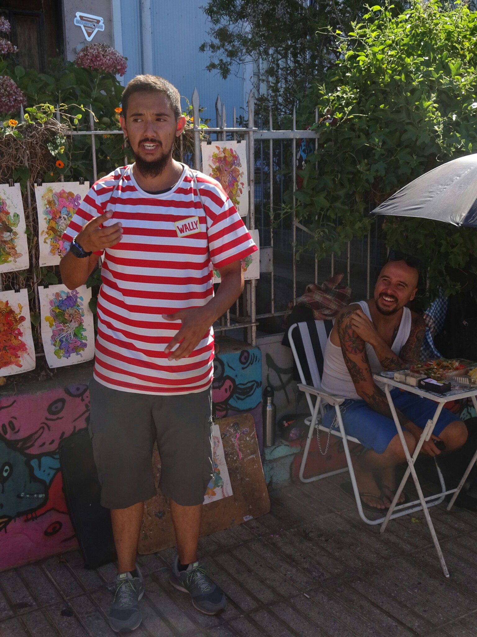
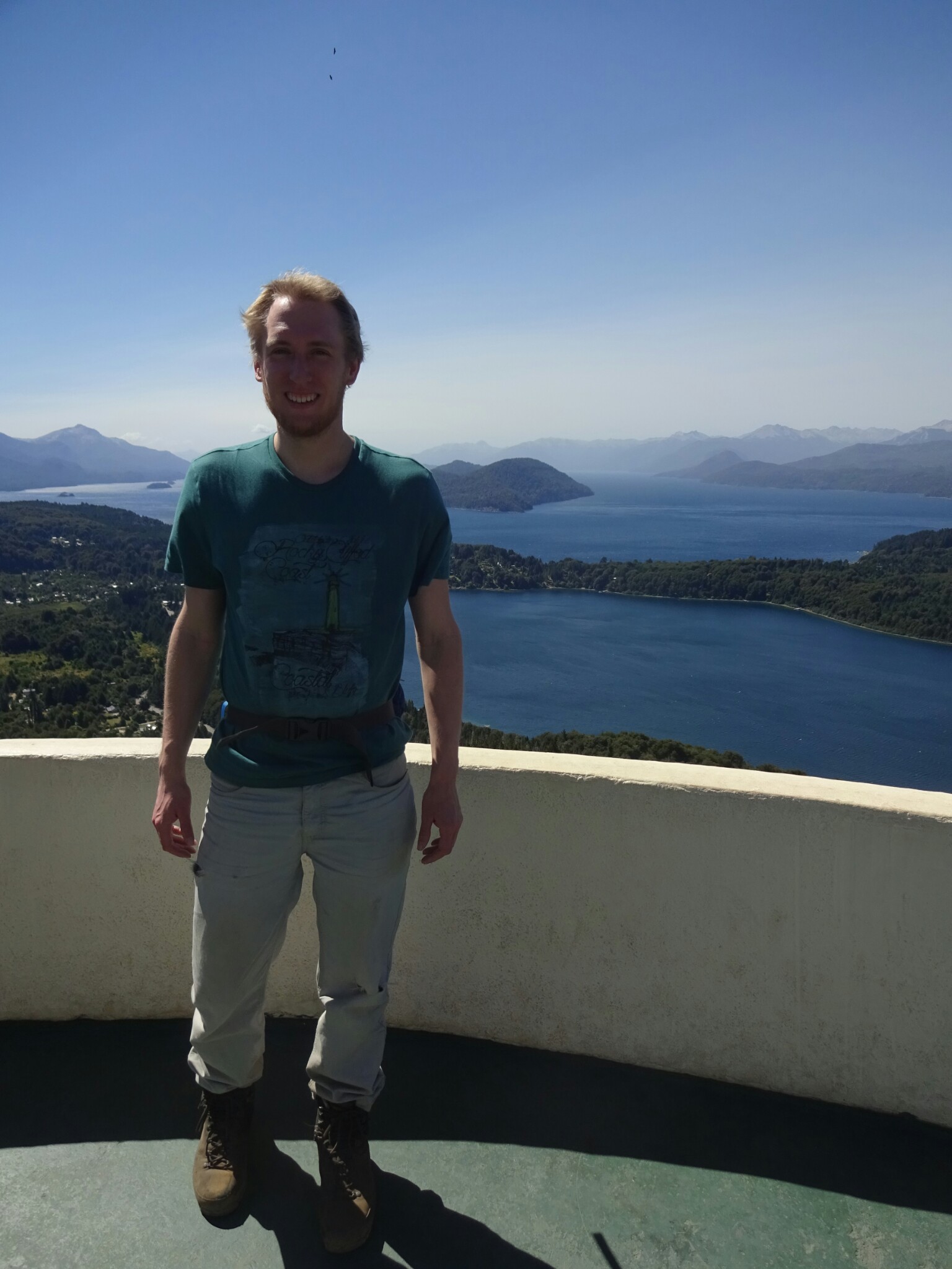
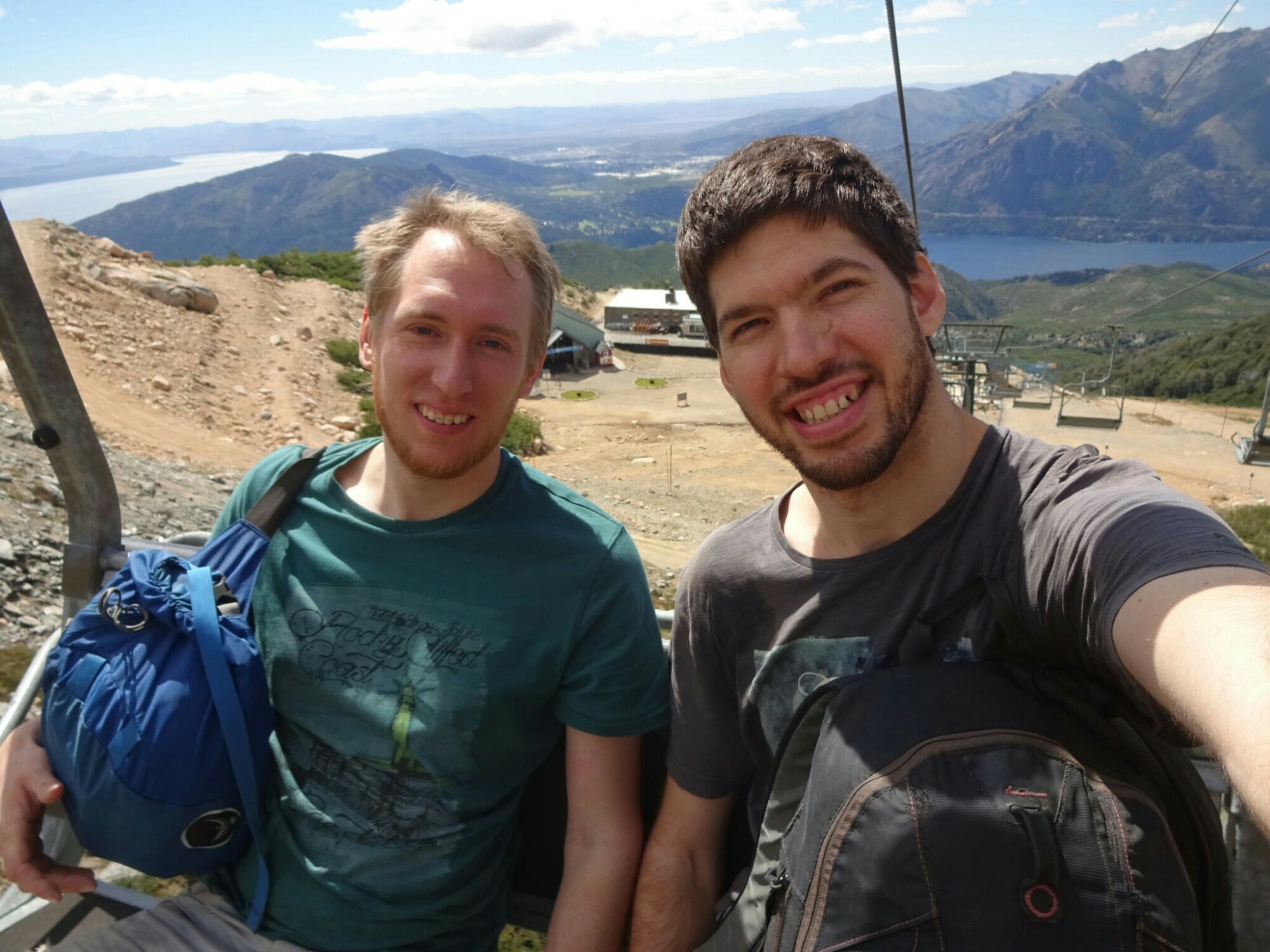
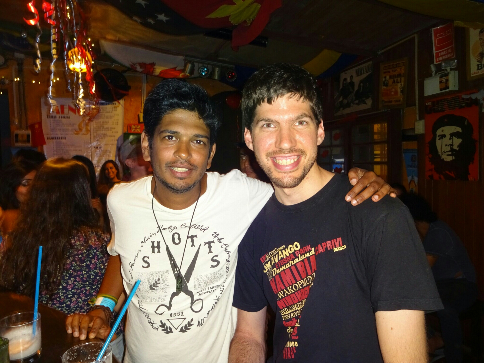
After a few days, my friend Nik arrived. I had met him in Brazil, from where he flew to Colombia while I went south to Argentina. We had kept in touch and went on to explore Lima. The most interesting piece of information on an otherwise pretty boring free walking tour was that most of the colonial style buildings around the “Plaza de Armas” are not even 80 years old! The original buildings have been destroyed in fires or earthquakes and looked different from what can be seen today.

Reunion with Nik, who was traveling with me through Brazil

The buildings at the “Plaza de Armas” are not as old as they look

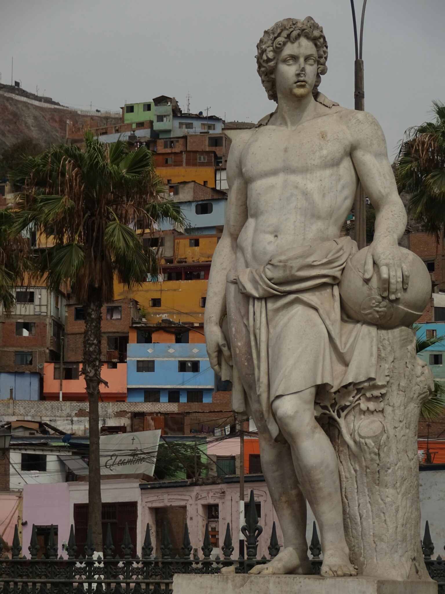
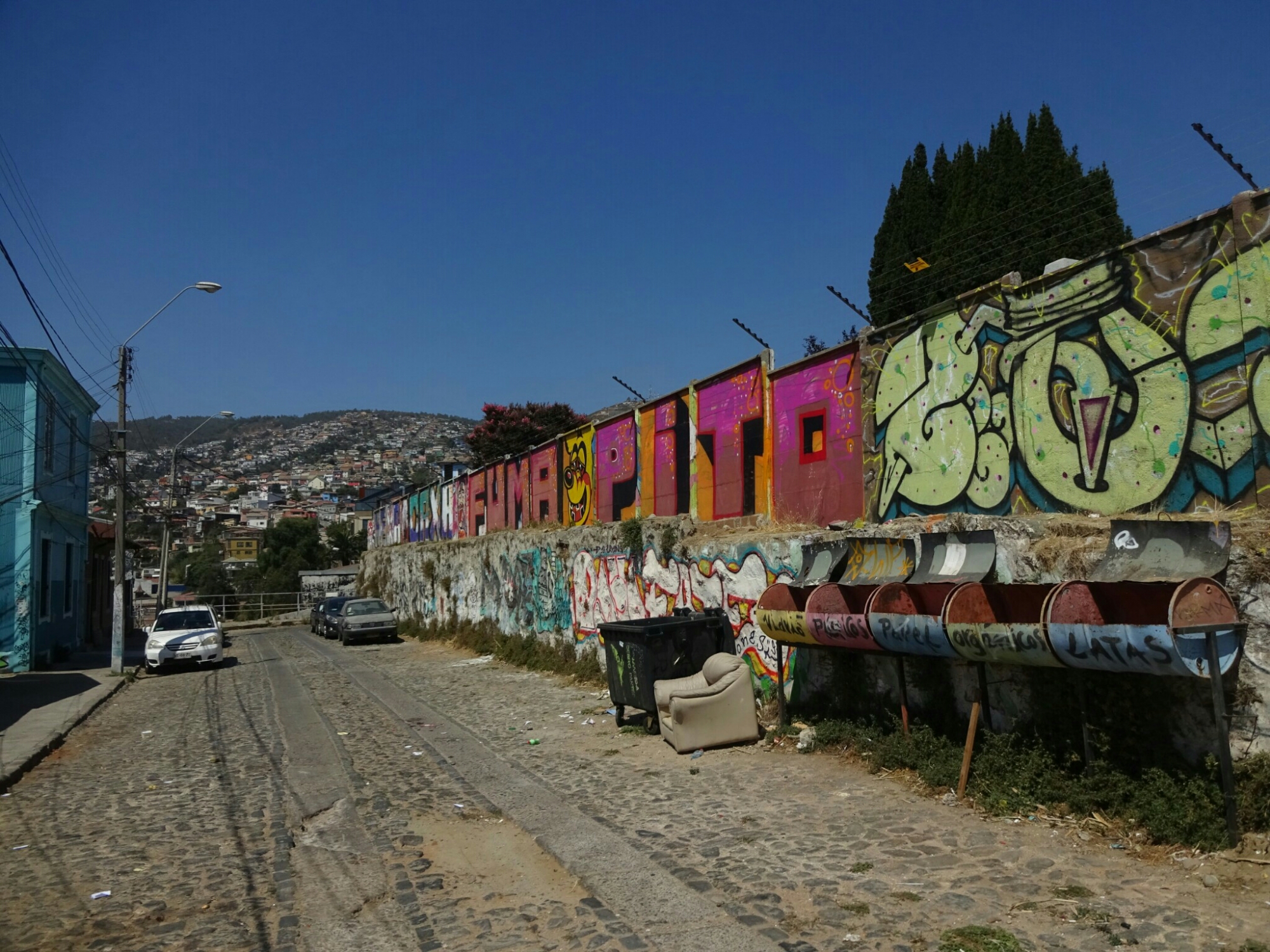
Another interesting part of the walking tour could have been the district of Rimac on the other side of the Rimac river. However, we were told not to enter this UNESCO world heritage site, as it is too dangerous for tourists. Curious as we are, we went anyways after finishing the tour. It turned out to be pretty interesting, as the buildings were authentic and because we truly were the only tourists. Although another local women tried to stop us, we continued, but stuck to the main roads where there were still plenty of locals around.

Authentic colonial style buildings in Rimac, a UNESCO world heritage site

Old meets new – parts of Rimac are better to avoid

 Tracing Chilean history

We arrived in Santiago early in the morning and had the full day to discover the city. We started off with a free walking tour of the more unknown highlights of the city. This included several local markets with fresh fish and fresh meat, but also lots of fruits and vegetables. It was a true feast for the eye, especially after coming from Patagonia, where fruits and vegetables are not readily available and if they are, they are very expensive.

Visiting the fish market in Santiago
One of the big market halls has a decorative rooftop

The other part of the tour took us to the main cemetery, which is frequently visited by locals due to the lack of parks and green areas. It has large areas with multi story graves for people with a lower income, but also large mausoleums, where the rich and famous lie for their last rest. One of them is Salvador Allende, the first socialist president in the world, who was assasinated after a military coup in 1970, which was supported by the CIA.

The cemetery of the general people is often three storeys high
The cemetery has another section with huge mausoleums

We spent the rest of the afternoon discovering the city on our own. Besides from viewing the presidential palace, where Allende was shot, we visited the National Historical Museum. It gives a good overview of the history, from the indigenous people and the Spanish colonization up to Allende and his death. However, it doesn’t provide any information on what happened in Chile after 1970. The Human Rights Museum is supposed to be very impressive on the times during the military dictatorship of Pinochet, but I didn’t find out about that until later.

The Presidential Palace in downtown Santiago
View from the tower of the National Historical Museum on the Plaza de Armas

While Benno had to take his flight back home, I boarded the next bus to Valparaiso. This vibrant coastal city is less than two hours from Santiago and it’s downtown was declared a UNESCO world heritage site in 2003. The colorful houses and the omnipresent street art definitely rectify this choice.

Tasting another Chilean invention – the earthquake cocktail “Terremoto”
Valparaiso has many colorful houses and was declared a UNESCO world heritage site
The street art is omnipresent

I used the afternoon to explore the city on another free walking tour. We learned about the national heroes – firefighters – which is an unpaid job in Chile. Only the truck drivers get paid, based on monthly donations by their fellow firefighters. It’s a weird system, but has been working for about 150 years already. Due to the lack of governmental funding, they’re looking for sponsors for their equipment, which is why they have many different fire stations: American, Italian and German among others.

Valparaiso also has a German fire station

The city is built on more than 54 little hills along an elevated coastline. Therefore, there are many steep roads and staircases leading up the hills. To make things easier, people have built little elevators to skip some of the ascend or descend. They operate on a daily basis from early in the morning until late and are quite cheap to use.

Elevators and steep staircases lead up the hills

. Up in the hills we visited the first two protestant churches in Chile. The “Saint Paul Anglican Church” was built before Chile introduced a law guaranteeing freedom of faith, which is why it had to be built without too many people knowing about it. From the outside it doesn’t look like a proper church, so almost nobody turned up for mass. The other church, “Iglesia Luterana de La Santa Cruz”, was built shortly after the new law and was allowed to have a bell tower and a cross on top. Somehow this worked better.

The “Santa Cruz” church can be seen from far away
Camilo, our walking tour guide, also knows some of the local artists

The following day I went on a tour of the less touristy spots of the city, where we took the “Rollercoaster bus” up into the hills to visit the former prison, now a cultural center offering various activities. During the dictatorship of Pinochet, many political prisoners were stationed here. And to add some personal relation to this dark history, our guide, Camilo, told us, how his father used to work for the army and became Pinochet’s personal butler during the last three years of his ruling.

The former prison is now a cultural center

Next to the prison are three graveyards of the city – “Cementerio 1”, “Cementerio 2” and “Cementerio de Disidentes”. However, this is not a graveyard for the political prisoners, but it used to be the only one for protestants, because the others were for catholics only. Eventually they were allowed to have their own cemetery, under the condition of this particular name.

The back wall of the “Cementario de dissidentes”

The adrenalin capital of Chile

Our next destination was Villarrica, a small town in the center of Chile. This time we took a direct bus to cross the border, which seemed to be much faster than the last time I crossed it here. One reason might be that the busses have a separate counter, but then the lines in general were not as long as they were about three weeks ago. It still took us the whole day to get to Villarrica and its famous volcano.

The lake and the prominent volcano bear the same name as our town: Villarrica

Our original plan was to climb the volcano right the next day, but we couldn’t get a spot on one tours. All tours leave from the neighboring Pucon, but most companies don’t have a pick-up service from Villarrica, which is much more quiet and less touristy. Instead we decided to have a look at Pucon and try out an activity called Hydrospeed, which was recommended to me somewhere along the way. And it stood up to my expectations, as it was a lot of fun to go down the river rapids (up to class III) with nothing but a small floatation device.

Hydrospeed is rafting without a boat!

In some places the river was quite shallow, so it’s not much of a surprise that we got a bit bruised during the tour. Maybe it was not the best idea to do this on the day before the volcano (we had managed to book one for the day after), but was still worth every bit of it.

The start of the trail to the top of the volcano was already above the clouds

When we got picked up early the next morning, the sky was covered in clouds. We picked up all necessary equipment in Pucon and continued to the base of some skiing lifts at an altitude of about 1400m. Here, we had a blue sky and sunshine as we were already above the clouds. Although most people took the lift, Benno and I decided to walk up. Tobias, our guide for the tour, and two other Germans joined us. It was actually quite nice to be the last ones, as it was really quiet and we could go at our own pace without being constantly overtaken by some of the other 250 people that were heading up that day.

The top is still clearly visible as we start the hike with about 250 other people
An old ski lift station that was destroyed by a landslide during the last eruption in 2015

At 2200m we had to put on crampons and get out the pickaxe, because we had reached the snow. By now the top of the mountain, which had been at clear sight for most of the ascend, was covered by clouds. We continued slowly but steadily until 2600m, about 200m below the summit, where we were completely surrounded by clouds. Here we decided to turn around, because we wouldn’t be able to see the inside of the crater, where supposedly lava can be seen most of the days. Additionally, falling rocks are posing a greater hazard with the poor visibility conditions.

We’re ready to tackle the snow, which covers the top of the volcano
The clouds appeared during midday and stuck around until much later in the afternoon

The way back down was much faster and much easier than what you may expect. The first 400m were a giant snow slide, where we sat down on a little plastic bowl and went down at a speed that was sometimes too fast to be comfortable. It was still a lot of fun! The rest of the descend was pretty easy, as we took a different trail, where the soil was loose. This allowed us to slide down a little bit with every step we took, which is also not as tough on the knees.

We used a giant snow slide for the first part of the descend

The dry and loose soil enables us to take a more direct way back

The perfect way to end the day was the bring-and-share barbecue at our hostel. In Germany, most of the times we bring our own meat and a salad to share with everyone. In Chile it’s different: Their barbecue consists mostly of meat, which is why nobody knew what to do with the pasta salad that Benno and I had made. Nevertheless there was more than enough to eat for everyone. We even got introduced to a typical dish from Chile – “Disco”, a mix of fried onions with chicken, beef, pork and mussels.

Real Chilean barbecue with Disco and lots of meat

We used our last day in Villarrica for a quick visit to “Los Pozones”, one of the many hot springs in the area. They consist of several natural basins with varying water temperature, from luke warm to really hot. It was quite relaxing, but involved a lot of hustle on the way back. Due to a huge traffic jam, the way back to Villarrica took almost four hours instead of two and we got to the bus station just on time for our night bus to Santiago.

More people had the idea of spending some time at the “Los Pozones” hot springs

Racing time

After the “Huemul Circuit” we needed one day of recovery, just relaxing at our campground. The weather was also pushing us for a break, as it was really windy and a constant rain started in the afternoon . So instead we wanted to cook a bit more fancy than just pasta and tomato sauce, but even the most simple dish can be quite difficult to make when all the supermarkets are empty. Looking back we were quite happy that we had brought our food for the trail from Chile.

Empty supermarkets were normal in El Chalten

The next day the weather was looking great again and we had all day until 8pm, when our bus was scheduled to leave for Bariloche. By the time we had repacked our backpacks, it was almost noon. However, we still wanted to get a closer look at one of the major attractions of El Chalten – Mount “Fitz Roy”. The hike to the viewpoint at the “Laguna de los Tres” takes usually a full day, but we had only half a day left.

On our last day in the area we decided to take a closer look at Mount “Fitz Roy”

Fortunately most of the trail is relatively flat, so we managed to keep up a fast pace up to the last steep ascend. In contrast to the “Huemul Circuit”, this hike was really crowded, as it is also a very popular hike with all the day-tourists, who come from El Calafate for just one day. Therefore, we didn’t want to stay at the laguna for much longer than a short snack break. The way back was a little faster so that we reached the campground on time to collect our belongings and head to the bus terminal.

It was a bit difficult to get a picture without tourists at the “Laguna de los Tres”
We passed by “Laguna Capri” on the way back down

For the next 24 hours the bus was our home, taking us more than 1300 kilometers north, back to Bariloche. It was a long way, but Benno’s flight was leaving from Santiago – even further north – and he had only about a week left. To reduce a bit of the hustle, we picked two towns, where we would spent most of the time. One of them was Bariloche, where I showed Benno my favorite spot in the area, “Cerro Campanario”, before discovering something new – “Cerro Catedral” and “Rifugio Frey”.

The view at “Cerro Campanario” was even better than last time

The hike around “Cerro Catedral” was another full day trip. Our travel guide had estimated the time for the whole trip to take around ten hours. As we needed to take a bus to the start of the trail, we were dependent on the bus schedule (once per hour), leaving us only about eleven hours in total. We could have taken two lifts up to save some time and most of the ascend, but it was way too expensive and we preferred to invest our money in a nice steak for dinner, which was about the same price.

The ascend from Villa Catedral was steep and mostly on ski slopes

During winter, the slopes of “Cerro Catedral” turn into the most famous ski resort of the area, so the way up was mostly on ski slopes or on gravel roads. However, higher up the trail was closed as they were working on the slopes. This turned out to be even better for us, because we were allowed to use the second lift for free. We also had a clear conscience, as we had intended to walk all the way, but couldn’t due to the trail closure.

We got lucky and had to take the second lift – for free
Beyond the pass lies the Nahuel Huapi National Park

The trail continued from the upper lift station. Shortly after we turned off the main trail, which was full of people who had taken the lift all the way, and like on the first part of the ascend we were the only ones on our trail. This time the landscape was completely different and the whole mountain side was covered in rocks of all sizes, which required a bit of scrambling (easy climbing) as well. It was a lot of fun and we enjoyed it very much, as we felt that we were good on time.

The landscape had changed and required some scrambling
Behind the broad mountain pass…

In the early afternoon we reached a broad mountain pass and started our descend into the neighboring valley, which contains two picturesque lagoons and the “Rifugio Frey”. Here, the number of tourists increased quite a lot, because there is an easier way to get to the hut. We chose to do this for the way back, as it is less steep. The trail was really pretty with all the flowers that were growing on the surrounding forest floor. However, the end turned out to be a bit tiring, because the landscape didn’t change as much anymore.

… lies a nice valley with two lakes
“Refugio Frey” is very popular with day tourists, who come from the other side
Ducks enjoying the solitude at “Laguna Tonchek”

In total it was still a nice hike and we even managed to finish it in only seven hours, including the breaks we took along the way. By the end of the day we got back to Bariloche quite early and still had some time to relax, before heading out for another grand steak at “El Boliche de Alberto”.

The forest floor is covered in flowers on the way back to Villa Catedral
The last part of the trail is along “Lago Gutierrez”

Circuit of air, water, earth and fire

Once we had all the required equipment together we were eager to get started. The next morning was perfect for our hike – blue sky, sunshine and not too much wind. We registered at the park office, which is for free but mandatory, and started the “Huemul Circuit” – or as we named it “Circuit of the elements” – a four days hike totaling about 60 kilometers. Our backpacks were quite heavy with our camping equipment and all the food, but we didn’t mind, because we were fresh and looking for some adventures.

A fresh start into our new adventure

The first day was an easy one with trails gently going uphill through nice forests and swampy grassland. In the afternoon we reached the valley of the Tunel River and got a good view of the “Cerro Huemul”, which will be by our side for the next few days. To reach the campsite, we had to cross some smaller rivers on rocks, tree trunks or barefoot. We hardly met anyone during the day until we got to the campsite, located under some tall Lenga trees. About 15 tents were pitched by the end of the day, making it still a rather quiet place to stay.

Forests and swampy grasslands dominate the first part of the journey
Descend into the Tunel River valley

The weather forecast had predicted strong winds during the night and some rain until about 10am the next morning. This proved to be pretty accurate. The winds had no effect on us, because we were sheltered by the Lenga trees and by cliffs on two sides of the little forest. However, when we checked the front of the tent at 6am, we found a large pool of water which had gathered there and was threatening to enter our backpacks and the inside of our tent. We acted quickly, moved our backpacks inside the tent and dug a trench to drain the water.

Getting up at 6am to prevent our tent from getting flooded
The aftermath of the first night – but our tent stayed dry

Sure enough the rain stopped at 10am and we had managed to keep everything dry. When we left the tent to pack up, I ran into Dan, the guy from Israel whom I had met in Bariloche. He had arrived late last night and was quite unlucky, because had pitched his tent in a spot, in which a small river had developed during the night. Now most of his stuff was wet, but he had to return to El Chalten anyways to meet up with Dor, the other guy from our trip in Bariloche.

An unexpected encounter in the middle of nowhere – Dan from Bariloche

We continued the trail past Laguna Tunel, where the terrain was only rocks without proper trail markings, making it quite difficult to follow at times. But eventually we found the first river crossing, where we needed our rented equipment: It was a single steel rope with a little trolley. Here we met Steve and Jenn, both Canadians, and two Germans. Together we formed “Team River Crossing” and helped each other with the passage.

“Team River Crossing” at work
The glaciers of “Cerro Grande” at the end of the Tunel River valley

The following part of the trail was a long and steep ascend to the “Paso del Viento”, the pass of the wind. On the way we had beautiful views of the Tunel River valley and the glaciers of “Cerro Grande”, but also had some troubles with unstable or non-existing trails to avoid walking on the glacier, which we were not equipped for. And although the wind was not as strong as in the morning, it was blowing quite strong and cold up on the pass. It was all worth it – the view of the Southern Patagonian Icefield couldn’t have been more rewarding!

Luckily the winds at the “Paso del Viento” were not as strong as in the morning
A stunning view of the enormous Southern Patagonian Icefield

The camp for the night was located at a little lagoon in a small valley just behind the pass. Here we were only eleven people. And the forecast was right again as it stayed dry and calm, but it got very cold. The night proved to be perfect for star gazing, which we did from within our tent, where we could stay in the warmth of our sleeping bags. There was no moon and no artificial lights, but also no camera with long exposure to capture the clear view of the milky-way.

The second camp hosted even less people and was located at a small lagoon

From the lagoon the trail continued more or less at the same altitude with more views of the Icefield and the Viedma glacier, which extends from the Icefield. The highest point for that day was the “Paso Huemul”. The way down was the challenge of the day, as it was straight down and therefore very steep. To add some difficulty, the whole trail was covered with the thick branches of Nire shrubs and their roots, which sometimes crossed the path at knee-height. After we lost 700 m of altitude, we reached that day’s destination – a bay full of icebergs.

The icefield was in view for most of the day
The Nire shrubs added some difficulty on the descend to “Lago del Viedma”
Camping with icebergs is not as cold as you may think

The last day began with a firework of colors as the sun rose over our quiet bay of icebergs. After we had packed up, we hiked to Tunel Bay, where the trail ended. This part of the hike was not very challenging, just long and mostly flat. However, we were still happy that the forecast was wrong for today, because it would have been very difficult with the predicted storm-like winds. Still, we felt like celebrating and did so with Steve and Jenn and a delicious steak dinner.

The sky was on fire at sunrise
Another river crossing was waiting for us just before Tunel Bay
The steak we had with Steve and Jenn was well earned