Category Archives: Default

On Safari with and without a gun

Our journey into the Okavango Delta started with a speed boat ride. We were picked up with another couple and, since they had also booked the two-day package, we were wondering if they would join our tour. This question was quickly answered by two more speed boats that joined our ride. Besides more live stock grazing at the river banks, we saw two elephants, an African fish eagle and other birds.
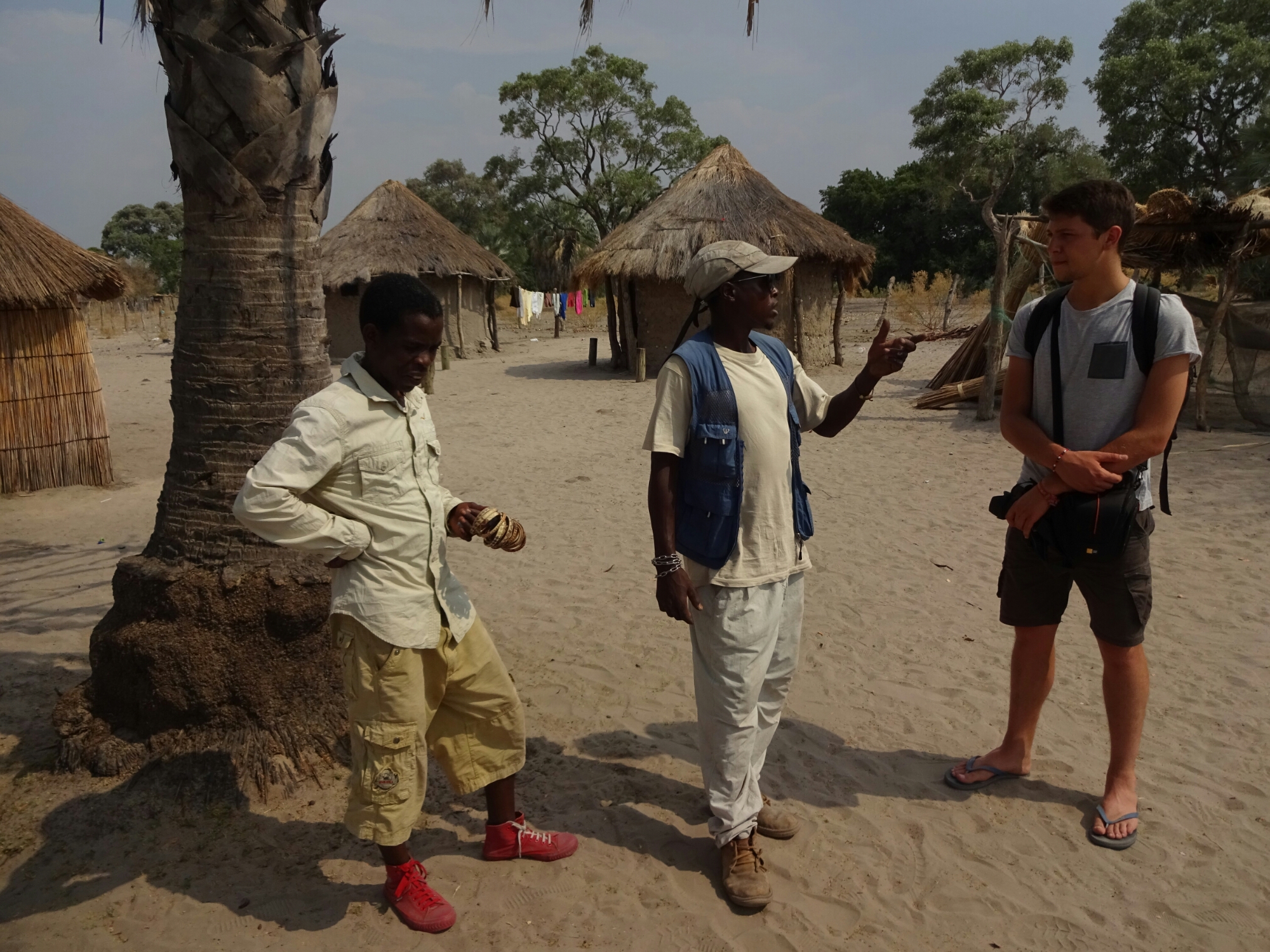
Meeting the guide and the poler at the village Boro 1

At the village Boro 1 we traded our speed boat for a mokoro, the traditional boat that the natives used for navigating through the delta. Nowadays, it is made from fibre glass to reduce the impact on the environment (deforestation). We had two mokoros for us, carrying us and our luggage. Each boat was moved by a poler, who had long wooden poles that they push into the sandy and shallow riverbed. The mokoro ride itself took us about two hours into the delta.
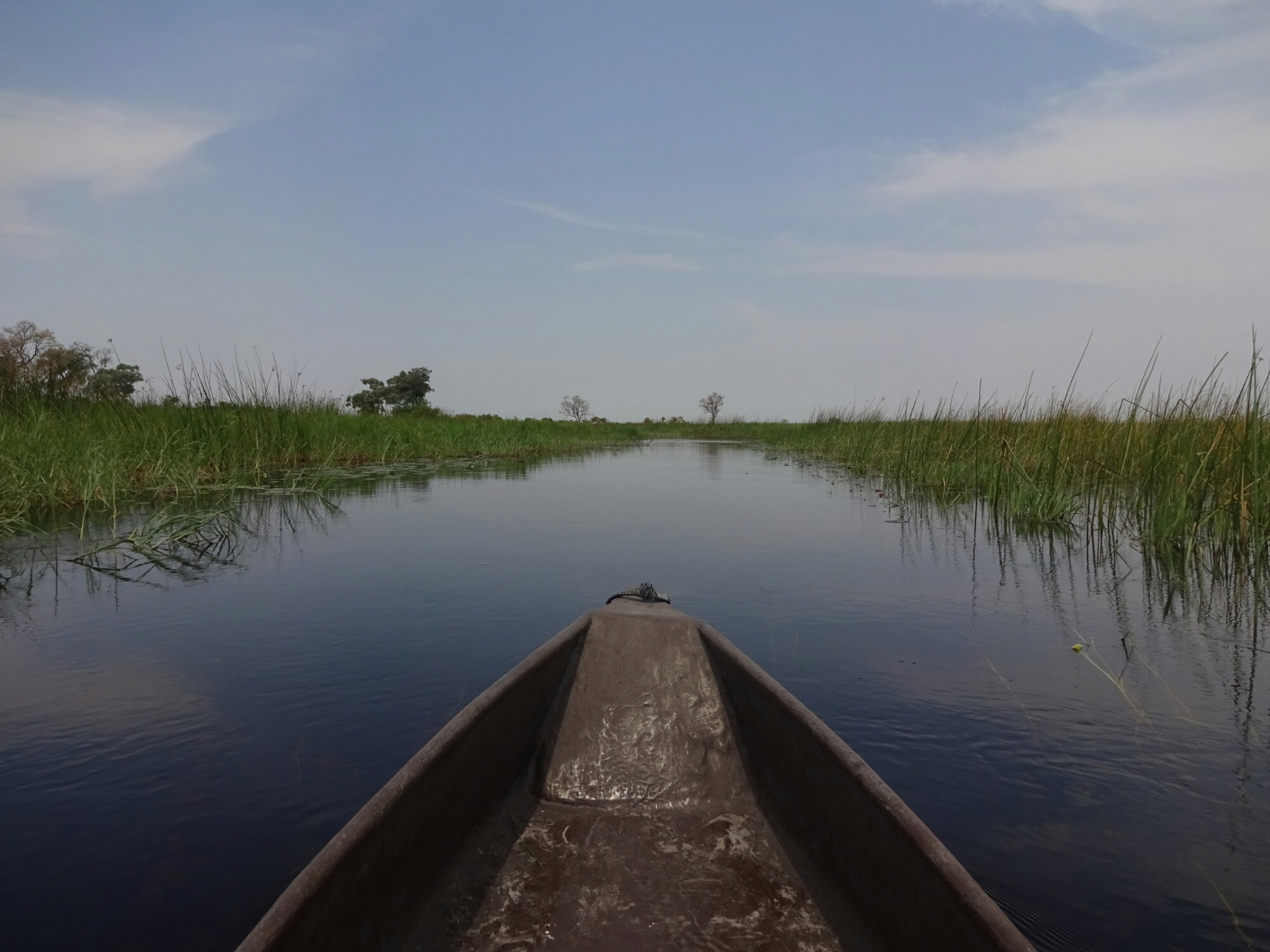
Mokoro ride into the Okavango Delta

We set up camp on an “island”, which is only an island during the rainy season, when the water level is higher. The Okavango Delta itself is a very interesting ecosystem, as the water originates somewhere in Angola, travels through the Caprivi Strip (Namibia) and forms an inland delta with five mayor rivers in Botswana. 11 cubic kilometers of water flow through the delta each year; 60% of the water is consumed by plants, 36% evaporates and the remaining water reaches the groundwater or lake Ngami, making it an entire inland delta.

Elephants at the neighboring campsite

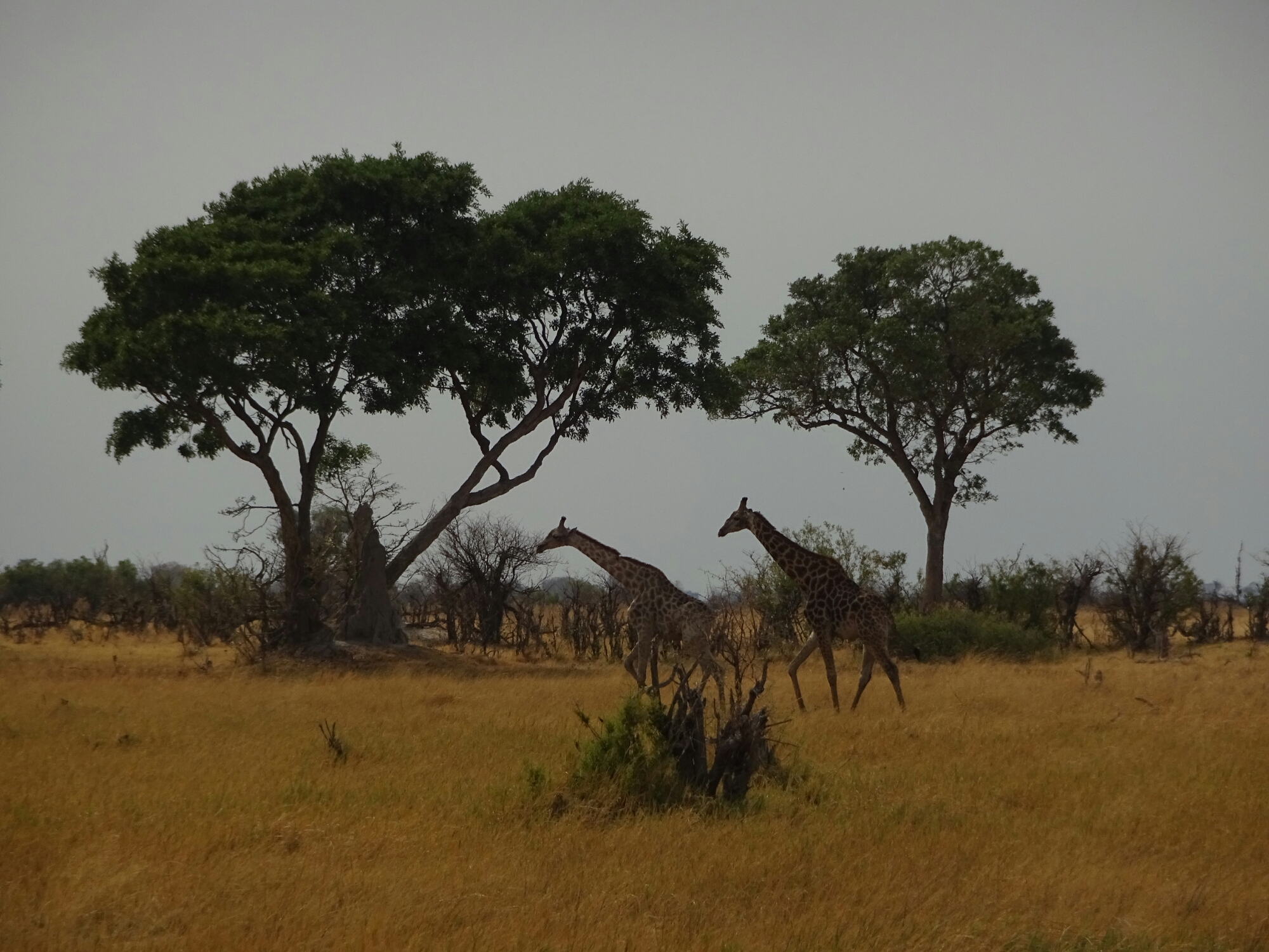
In the evening  and the following morning we went on a walking safari with Topgun, which is the chosen “western” name of our guide. Although his name implies different, he didn’t carry a gun with him. Here we saw elephants, giraffes, zebras, buffaloes, hippos, wildebeast, monkeys, impalas and other animals from the distance with nothing but grassland separating us from them.
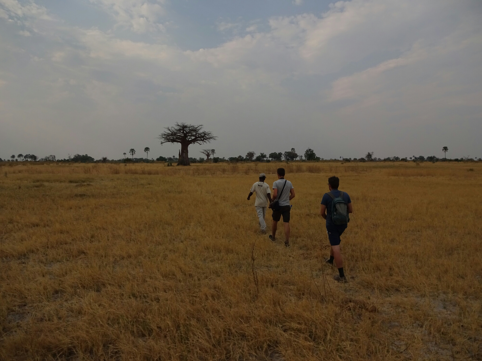
On a walking safari with Topgun

Giraffes on our morning safari

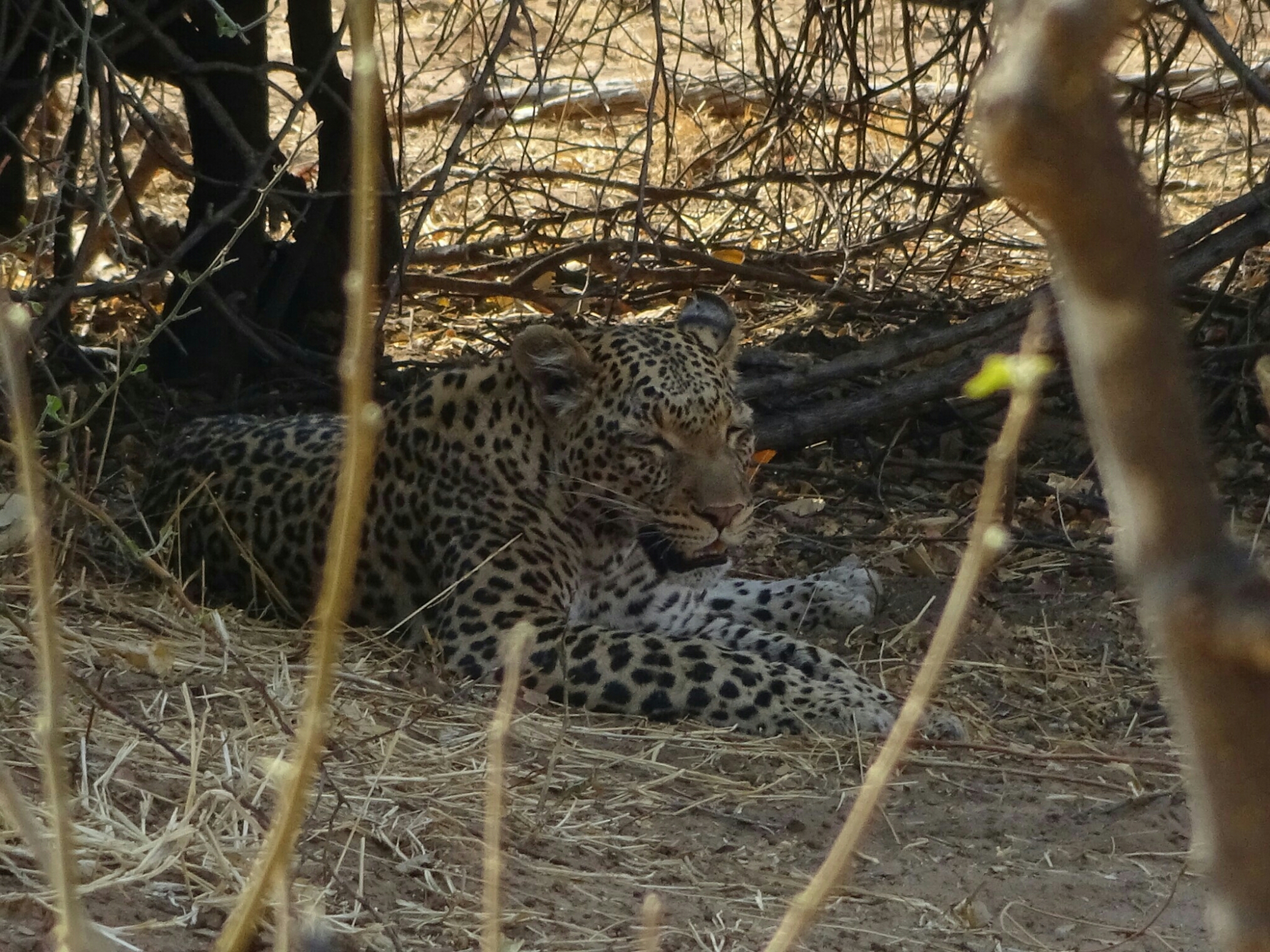
After leaving the delta, we continued to Nata, where our paths separated again – Francois had to return to South Africa, while Daniel and I continued north to Kasane. This is where we visited the amazing Chobe National Park, first on a boat safari and then on a game drive (watching animals out of a car) the next morning. We saw many more animals from really close up, including lions and a leopard. It was one of the most amazing places I’ve seen in my life!
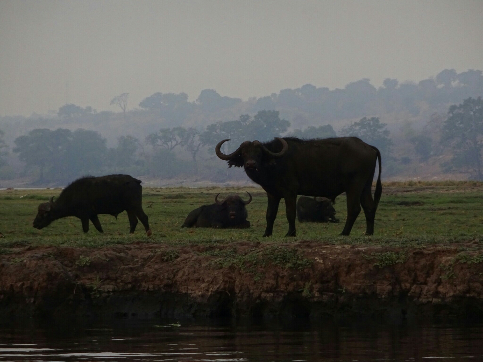
Buffaloes on Sedudu Island at Chobe National Park
A leopard hiding in the bushes next to the road
Beautiful sunset over the Chobe river

Goatswana and other animals

Yes, you’re right, I wanted to visit Namibia. But at first I’ll be in Botswana visiting the Okavango Delta, because the rainy season will start soon. When the rain is coming everything turns lush and green, which is nice, but it also means that all the animals will find enough water and are not gathered around the few watering holes remaining.

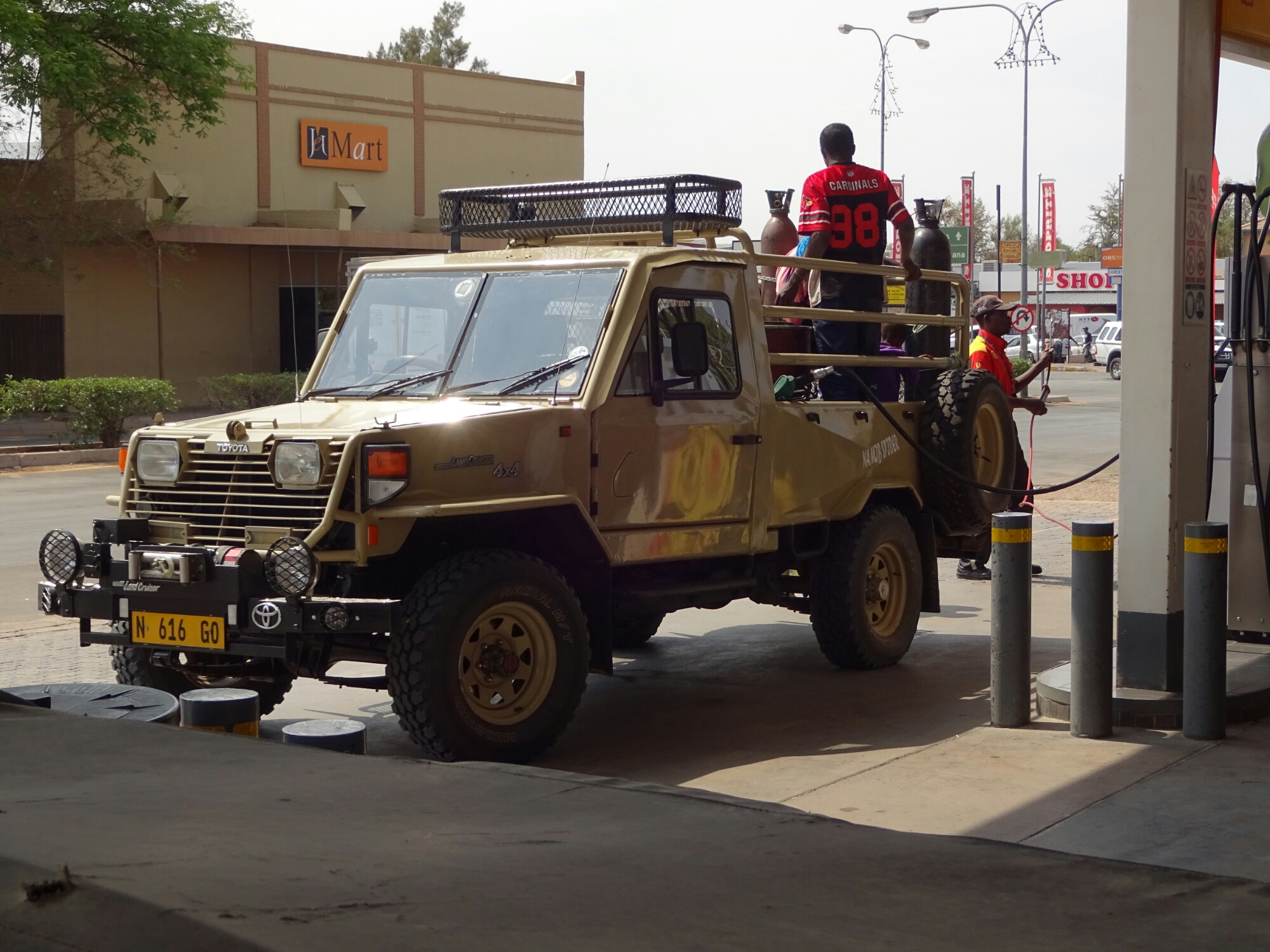
Luckily not our means of transportation

At the hostel in Windhoek I was asking for public transportation to Maun, a city at the southern end of the Okavango Delta, when I met Daniel from Switzerland. He was planning on doing the same and got it all figured out, so I asked if I can join him. An hour later the receptionist came up to us and told us about Francois (France), who has a car and is also heading to Maun. Perfect! That gives us one more hour of sleep and saves us the hitchhiking part, because there is no direct connection between Windhoek and Maun.

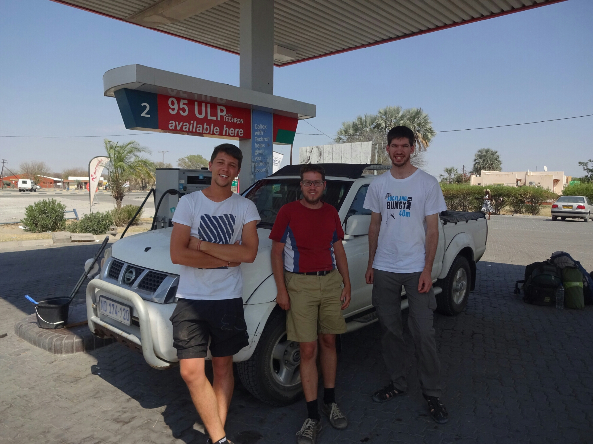
On the road with Francois and Daniel

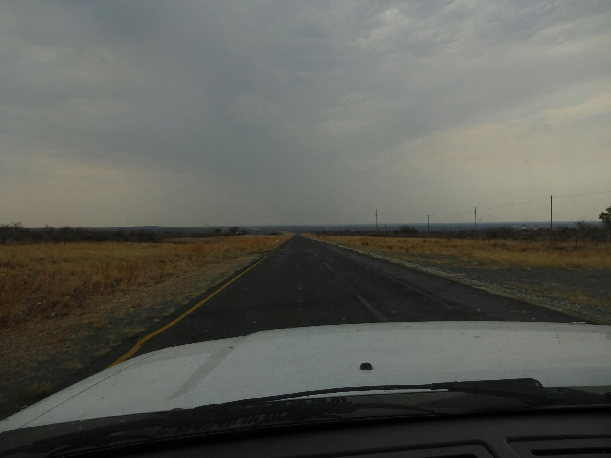
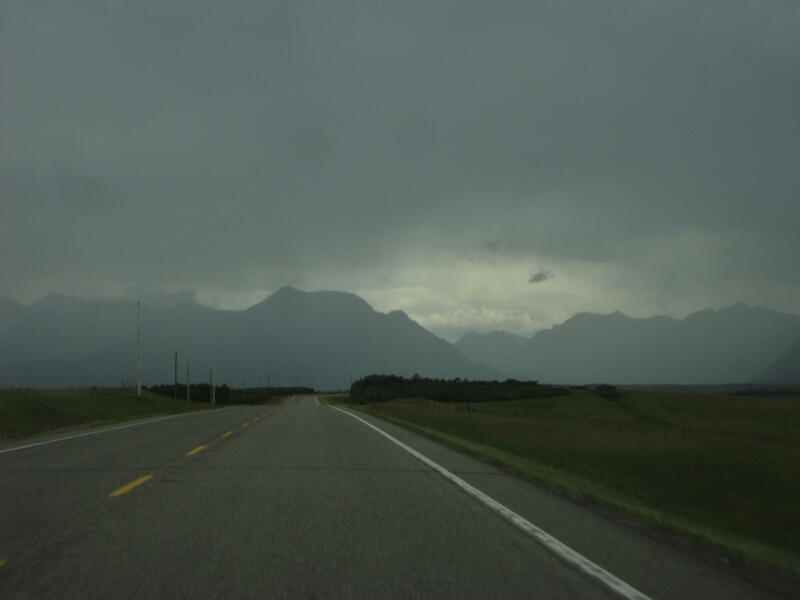
We left Windhoek in the morning, because it’s 800 km and one border to cross. Additionally, we needed to stop for gas a few times, as the mileage was not very high. Once we crossed the boarder to Botswana, the sky was covered in dark clouds and it looked like it would rain heavily. But it didn’t. Instead, there were a few drops of rain, which evaporated on our windshield, before we had to turn on the wipers.

Rain clouds over Botswana

Another thing that was new in Botswana was the fact, that the animals seemed to like the road a lot more than in Namibia. There were a lot of goats, cows and donkeys right next to the road, on the road or crossing the road right in front of us. Additionally, there were also a lot of warthogs (wild pigs) and a few ostriches, that I was able to cross off my list of exotic animals.

Wild life crossing

We arrived in Maun in the late afternoon, where we set up our camp at the “Old Bridge Backpackers”, a really great place, right by one of the rivers of the Okavango Delta. Our plan for the next few days is to take a two-day mokoro (traditional boat) tour into the delta.

Locals in Maun
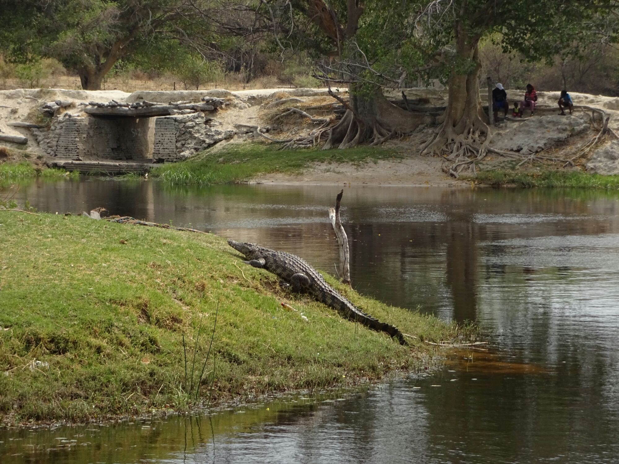
Crocodile across from our Backpackers in Maun
The Old Bridge Backpackers

Namibia – a new journey begins 

After weeks of preparation, organization and saying goodbye “Day X” has finally arrived. I’m starting on my big trip around the world! And to all of you, who are wondering where I’ll go, or who are thinking about joining me at some point, here is a quick overview of my idea for this trip:

  • October 20th to November 30th: Southern Africa, including Namibia, Botswana and South Africa (flying out of Cape Town)
  • December 1st to December 10th: Brazil (Rio de Janeiro, Ilha Grande, Iguacu)
  • December 10th through January: Argentina and Chile
  • End of January through mid March: Bolivia, Peru and Ecuador (including the Galapagos Islands)
  • Mid March until September or October: Canada with one or two trips to the US

 As I haven’t booked anything (except for the flight to Sao Paolo) these plans may change by a few weeks. If you’re interested in joining me anywhere along the route, let me know and I’ll consider that in my planning.

So now I arrived at the international airport of Windhoek, Namibia, on Thursday morning. The whole airport had five airplanes parked next to the main building, including ours. Windhoek has only about 400000 inhabitants (Namibia 2.2 million) and you definitely get a feeling for that when you look at the arrivals screen – about 10 arrivals in total in the next ten hours…

Windhoek International Airport

The only other thing I’ve booked here, except for two nights at the hostel, is the airport transport to the hostel, which is necessary because the airport is an hours drive outside the city. Here I meet Renske again, who I had briefly met at the airport in Munich. She is staying at the same hostel and gets picked up by the same driver. She’ll be working as a volunteer at a wildlife station for the next three months.

Chameleon Backpackers in Windhoek

After checking in at the hostel, we walk around the downtown area, which is close by. We admire the German heritage, which is not only visible by the style of some of the older houses, but also lots of people, who can speak German, German info tiles or dish names like “Macaroni  Auflauf” or “Eisbein”.

Downtown Windhoek

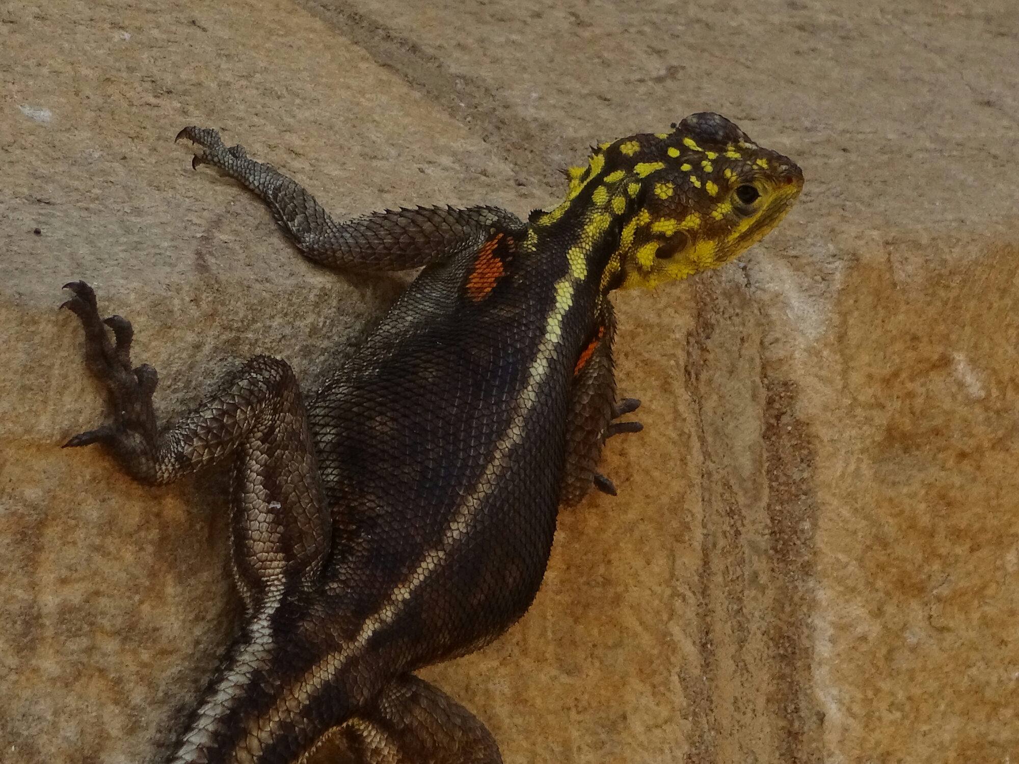
During the ride from the airport we already got to see some of the abundant wildlife of Namibia –  Baboons (monkeys) and Kudus (antelopes with long, twisted horns) were right at the side of the road. Here, close to the old (German) church from the early 1900s, we found some interesting lizards enjoying the warmth of the rocks on the outside of the church.

Lizard on the outside of the old church

A little further down the road we found the independence museum. Originally we just saw the glass elevators on the outside, promising a good view over the city. The museum is free of charge and has much more to offer than the good view (from the empty 5th floor or the restaurant on the 4th floor) – it has impressive large-scale paintings of the Civil War during the 70s and 80s and the independence from South Africa in 1990. Besides from that we met Carsten again, who was also sitting next to us at the airport in Munich, and who is also staying at the Chameleon backpackers.

The empty 5th floor
Wall-size paintings in the independence museum

Four seasons and the Grand hotel

As mentioned before, the weather forecast was not quite correct when it was predicting sunshine for last week. However, the rain cleared quite quickly and we were still able to hike up Bears Hump in the evening. As there were few people hiking up we used the bear bell to let any bear know that we were coming. Fortunately the bell isn’t a tourist trap, which attracts bears, but seems to work because we haven’t seen a single one of them.

image
On the way to Waterton National Park

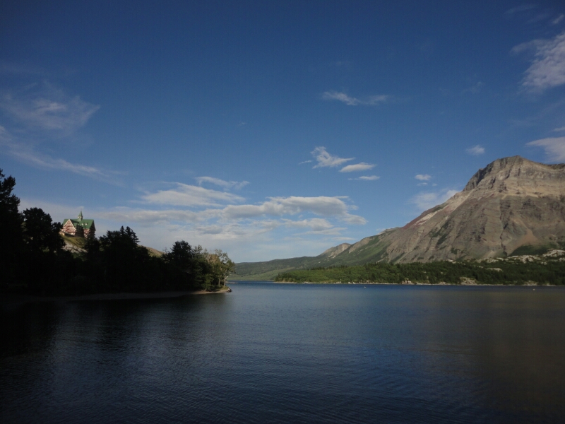
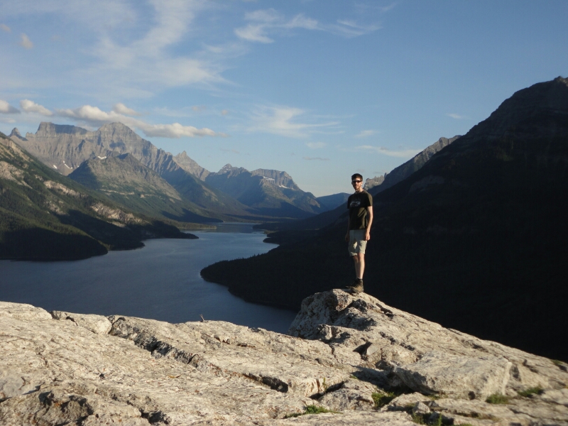
Right between the middle and the upper Waterton Lake lies the picture perfect Prince of Wales Hotel, where you can stay for only $240 per night. However we still decided to stick to campgrounds and do other cool stuff for free, like some awesome hiking in the area.

image
The Prince of Wales Hotel and the Upper Waterton Lake

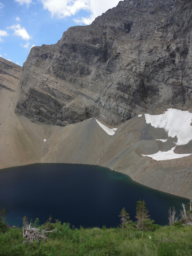
The next day was a perfect day for a day hike and we chose to do the Carthew Alderson Trail, which leads through a dense forest to the Alderson Lake close by the tree line. From there the trail continues to climb even higher into alpine terrain. Being out of the forest we had to fight the wind really hard, sometimes combined with rain but never a lot.

image
Alderson Lake

Close to the Carthew Lakes we also encountered some snow fields and a lonesome bighorn sheep, which was enjoying the tourist free time up there. The trail is one of the most popular hikes in the area, but on the whole trail we only met about 20-30 people, which is nothing compared to some of the hikes I’ve done in New Zealand last year.

image
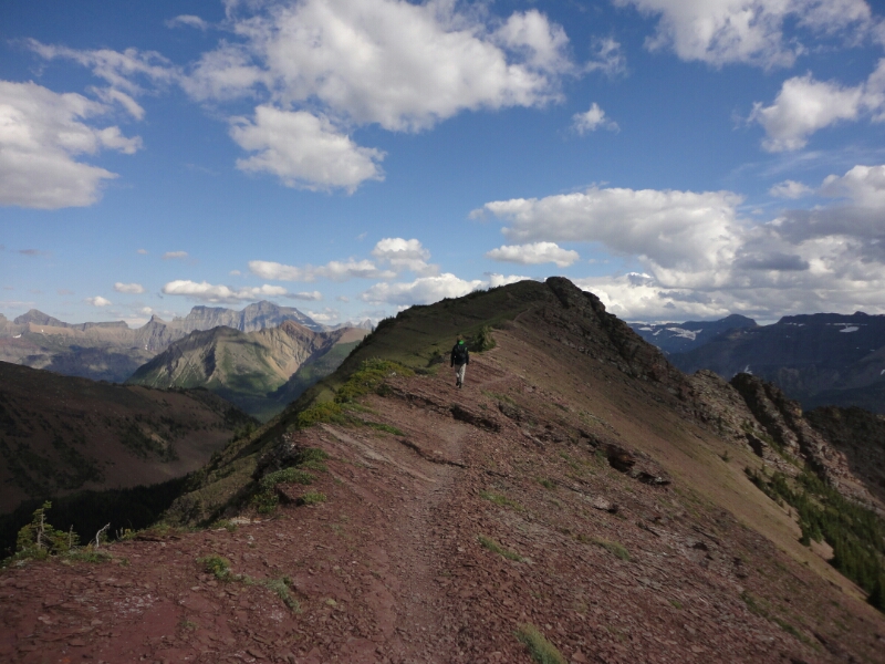
Ridge walk on the Carthew Alderson Trail
image
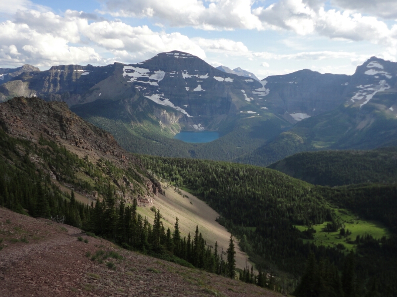
View of the Glacier National Park in Montana, USA

At the ridge we were the only ones as far as the eye could see and we took in the awesome landscape in the light of the evening sun. Since we had started quite late it was nine by the time we were back at the car. But the adventure was far from being over, because we had booked a backcountry campsite for the night and still had to walk there for about half an hour…

Outdoor paradise

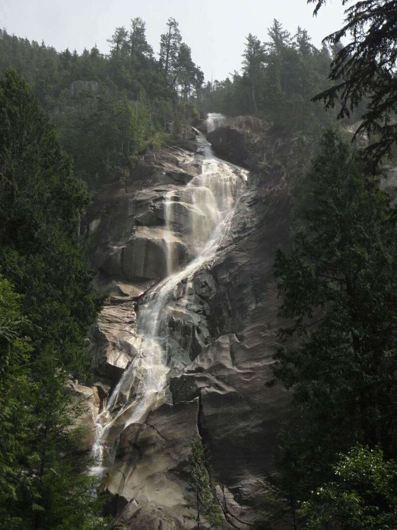
The area surrounding Whistler is dominated by the Coast Mountains. The Sea-to-Sky-Highway passes through this beautiful landscape, where the Shannon Falls cascade more than 300 meters down to the valley floor, making it the third highest in British Columbia. Equally stunning are the Brandywine Falls, where the creek drops some 70 meters over the edge of a cliff.

image
Brandywine Falls

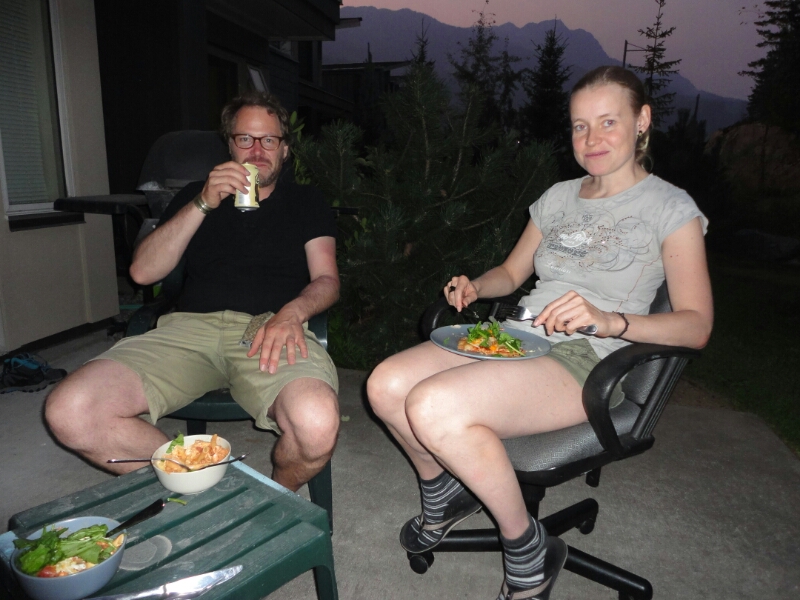
In Whistler we meet up with Daniela, a friend of mine from Germany. She’s been traveling for the last two years and we first met in New Zealand. Now she is working at the Whistler Hostel. To continue our couch surfing experience we stayed with her and her three roommates for two nights. Then we moved to the hostel, because it was quite crowded after all.

image
Andi, who is traveling with us, and Daniela

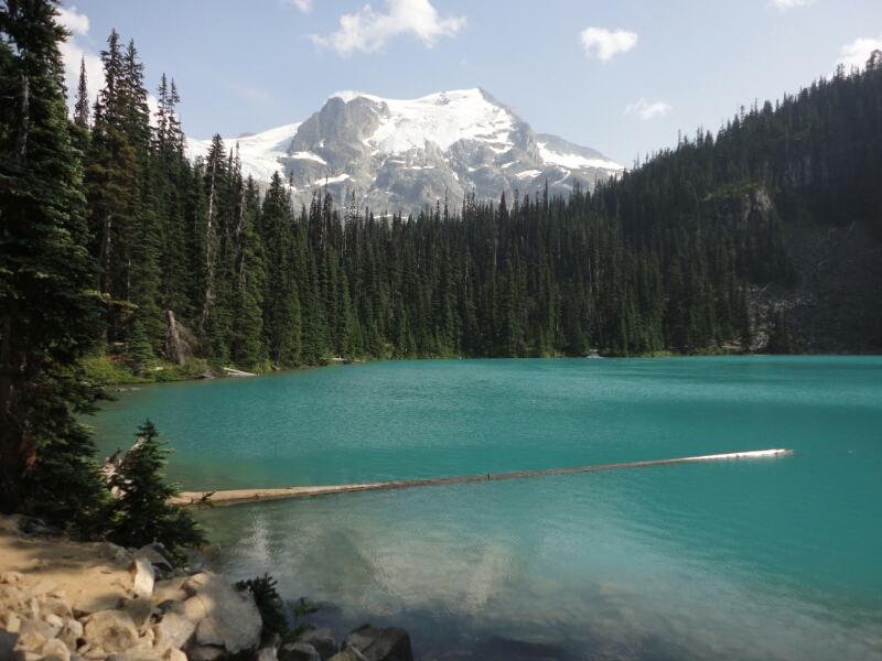
On Friday and Saturday Daniela was able to take her free days to do some hikes in the area. Our first destination were the Joffrey Lakes. Three turquoise glacier lakes surrounded by high mountains. We were lucky with the weather, because the smoke from the fires was getting less, so we were actually seeing the surrounding scenery. We took advantage of the sunshine and the swinging rope to jump into the freezing water. It was still worth it.

image
At the middle Joffrey Lake

The forecast for the weekend was not as nice, so we did a smaller hike to Loggers Lake and sure enough it did rain on the way back. A good reason to stop at the Whistler brewery to sample their many different beers. Their slogan was quite fitting – “Brewed in paradise, enjoyed on patios”.

image
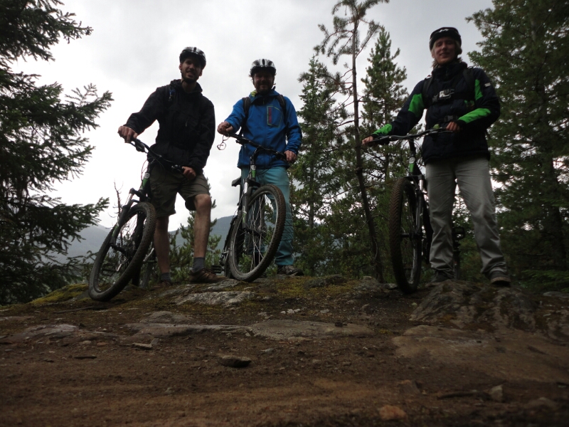
Mountain biking at Lost Lake

On Sunday we decided to rent mountain bikes for half of the day to do some trail biking in Whistler Village. In winter the trails around Lost Lake are used for cross country skiing, in summer by bikers. Although we were all beginners we started with the medium difficulty right away, because the easy trails are either paved or just plain gravel. We enjoyed the time, but were really exhausted after four hours.

Back at the hostel we had to decide what to do and where to go next. Based on the weather forecast, Whistler would be the best option, but then we wouldn’t get anywhere closer to Edmonton. The other option was going all the way to Waterton Lakes National Park in the south of Alberta, where the forecast was most promising. Additionally it was one destination on my long term Canada bucket list. So that’s where we went next. Google maps predicted 12 hours without traffic – very optimistic considering a maximum speed limit of  100, a distance of  1150 kilometers and the fact that the Rocky Mountains were between us and our destination.

image
At Waterton Lakes National Park

In the end it took us two days to get there…