All posts by Ben

Four seasons and the Grand hotel

As mentioned before, the weather forecast was not quite correct when it was predicting sunshine for last week. However, the rain cleared quite quickly and we were still able to hike up Bears Hump in the evening. As there were few people hiking up we used the bear bell to let any bear know that we were coming. Fortunately the bell isn’t a tourist trap, which attracts bears, but seems to work because we haven’t seen a single one of them.
image
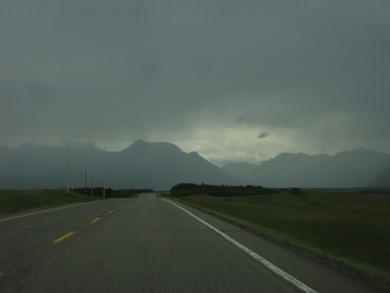
On the way to Waterton National Park

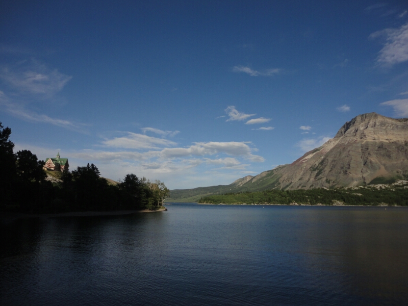
Right between the middle and the upper Waterton Lake lies the picture perfect Prince of Wales Hotel, where you can stay for only $240 per night. However we still decided to stick to campgrounds and do other cool stuff for free, like some awesome hiking in the area.
image
The Prince of Wales Hotel and the Upper Waterton Lake

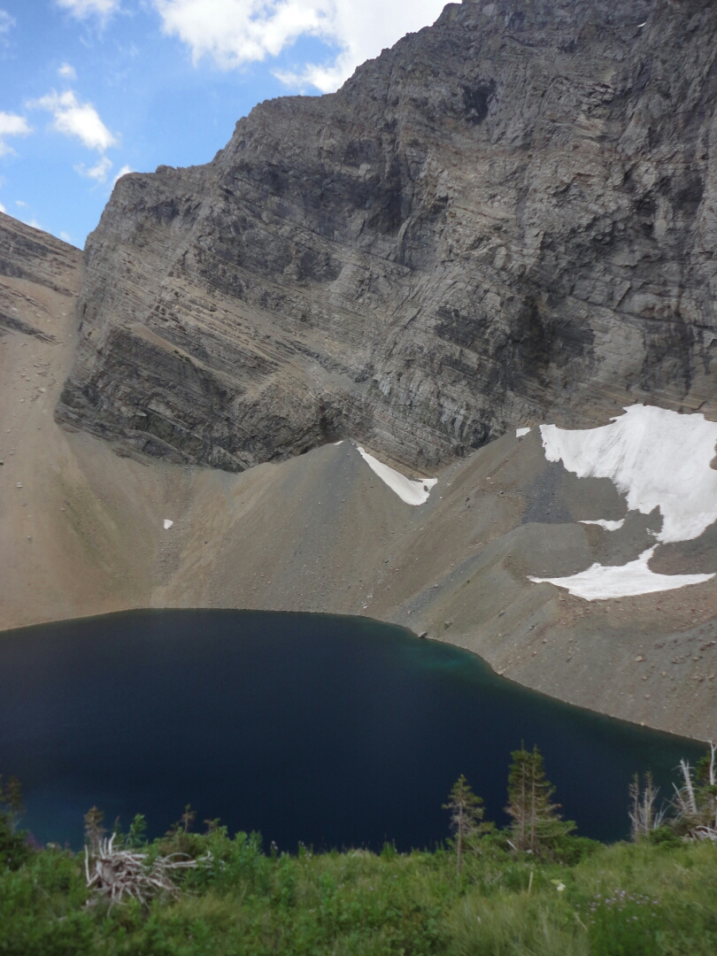
The next day was a perfect day for a day hike and we chose to do the Carthew Alderson Trail, which leads through a dense forest to the Alderson Lake close by the tree line. From there the trail continues to climb even higher into alpine terrain. Being out of the forest we had to fight the wind really hard, sometimes combined with rain but never a lot.
image
Alderson Lake

Close to the Carthew Lakes we also encountered some snow fields and a lonesome bighorn sheep, which was enjoying the tourist free time up there. The trail is one of the most popular hikes in the area, but on the whole trail we only met about 20-30 people, which is nothing compared to some of the hikes I’ve done in New Zealand last year.
image
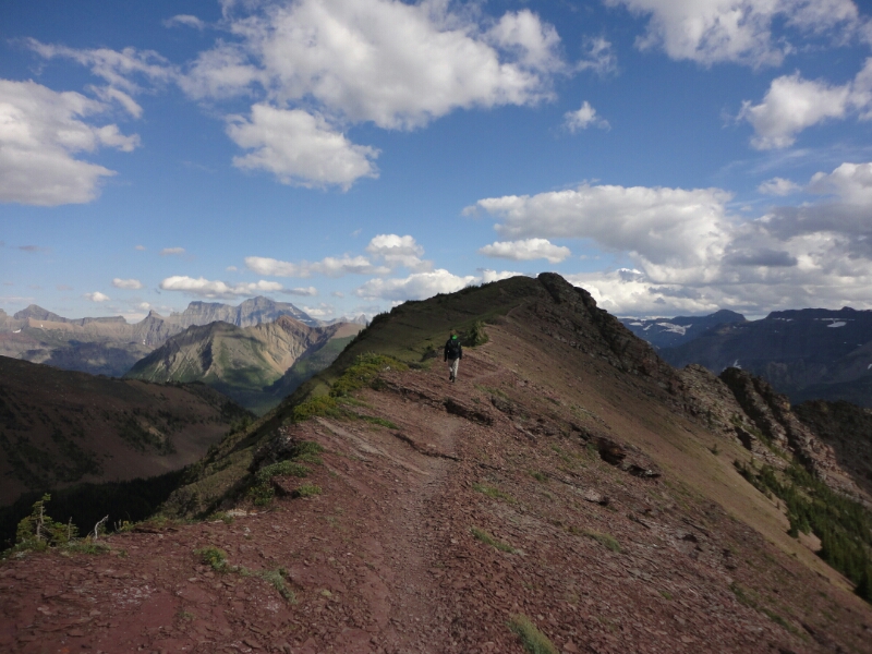
Ridge walk on the Carthew Alderson Trail
image
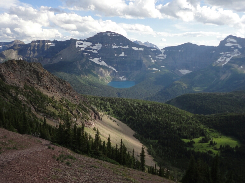
View of the Glacier National Park in Montana, USA

At the ridge we were the only ones as far as the eye could see and we took in the awesome landscape in the light of the evening sun. Since we had started quite late it was nine by the time we were back at the car. But the adventure was far from being over, because we had booked a backcountry campsite for the night and still had to walk there for about half an hour…

Outdoor paradise

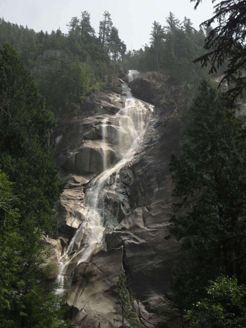
The area surrounding Whistler is dominated by the Coast Mountains. The Sea-to-Sky-Highway passes through this beautiful landscape, where the Shannon Falls cascade more than 300 meters down to the valley floor, making it the third highest in British Columbia. Equally stunning are the Brandywine Falls, where the creek drops some 70 meters over the edge of a cliff.

image
Brandywine Falls

In Whistler we meet up with Daniela, a friend of mine from Germany. She’s been traveling for the last two years and we first met in New Zealand. Now she is working at the Whistler Hostel. To continue our couch surfing experience we stayed with her and her three roommates for two nights. Then we moved to the hostel, because it was quite crowded after all.

image
Andi, who is traveling with us, and Daniela

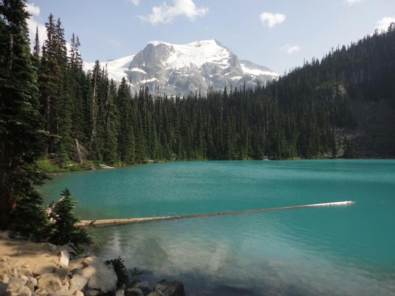
On Friday and Saturday Daniela was able to take her free days to do some hikes in the area. Our first destination were the Joffrey Lakes. Three turquoise glacier lakes surrounded by high mountains. We were lucky with the weather, because the smoke from the fires was getting less, so we were actually seeing the surrounding scenery. We took advantage of the sunshine and the swinging rope to jump into the freezing water. It was still worth it.

image
At the middle Joffrey Lake

The forecast for the weekend was not as nice, so we did a smaller hike to Loggers Lake and sure enough it did rain on the way back. A good reason to stop at the Whistler brewery to sample their many different beers. Their slogan was quite fitting – “Brewed in paradise, enjoyed on patios”.

image
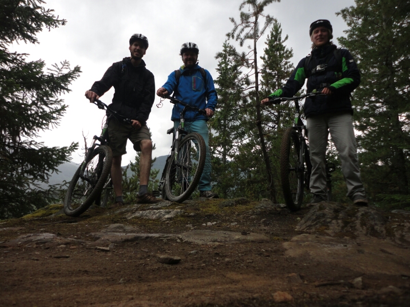
Mountain biking at Lost Lake

On Sunday we decided to rent mountain bikes for half of the day to do some trail biking in Whistler Village. In winter the trails around Lost Lake are used for cross country skiing, in summer by bikers. Although we were all beginners we started with the medium difficulty right away, because the easy trails are either paved or just plain gravel. We enjoyed the time, but were really exhausted after four hours.

Back at the hostel we had to decide what to do and where to go next. Based on the weather forecast, Whistler would be the best option, but then we wouldn’t get anywhere closer to Edmonton. The other option was going all the way to Waterton Lakes National Park in the south of Alberta, where the forecast was most promising. Additionally it was one destination on my long term Canada bucket list. So that’s where we went next. Google maps predicted 12 hours without traffic – very optimistic considering a maximum speed limit of  100, a distance of  1150 kilometers and the fact that the Rocky Mountains were between us and our destination.

image
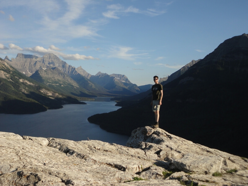
At Waterton Lakes National Park

In the end it took us two days to get there…

Exploring Vancouver

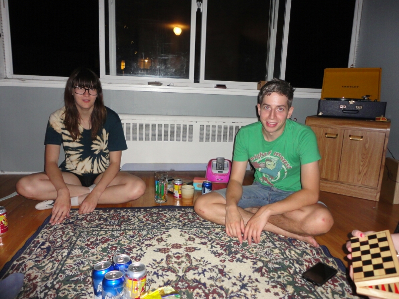
I met up with my friend Benno from Germany at the bus terminal, which was pretty easy because my bus was the only one incoming at that time and there were no other buses around. He had arrived to Calgary, spent one there before coming to Vancouver Monday morning. We were visiting Ashley, one of my friends from my high-school year in Canada, and his girlfriend Maggie. She is originally from Colorado and came to Canada for studying. She just moved into her new apartment without furniture, so she had plenty of room and was willing to host us for the next three nights.

image
Playing Crib with Maggie and Ashley

On our first day in Vancouver we met up with Andi, another German who will be traveling with us to Edmonton. The Granville Island Market was a perfect spot to meet and to have some breakfast. We bought strawberries and some other stuff and sat outside at the water. I was just trying to have another bite of my bagel as I was attacked by a seagull, which flew right by my head and snatched half of it away – too bad, because it was quite delicious. Afterwards I always kept my food close to my body.
image

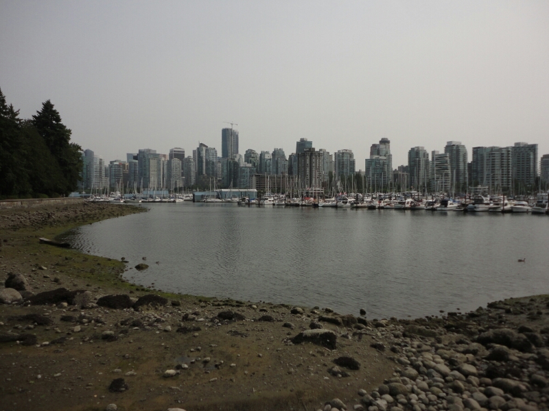
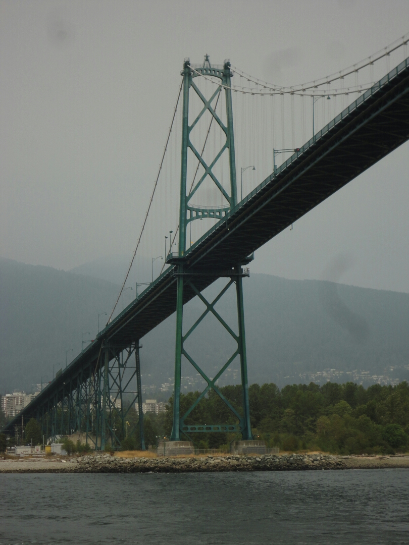
Benno and I continued to have a look at Vancouver, while Andi was trying to buy a tent. We took the water taxi to Yaletown and continued to Stanley Park from there, after looking at the stream train engine 374, which took the first trans-Canada passenger train into Vancouver in 1887. Instead of renting a bike at the park, like many people do, we just walked all around it.

image
View of the Lion's Gate Bridge from Stanley Park

We spend the whole next day organizing our road trip – getting the rental car from the airport, going shopping, picking up Andi’s stuff and getting his tent.

image
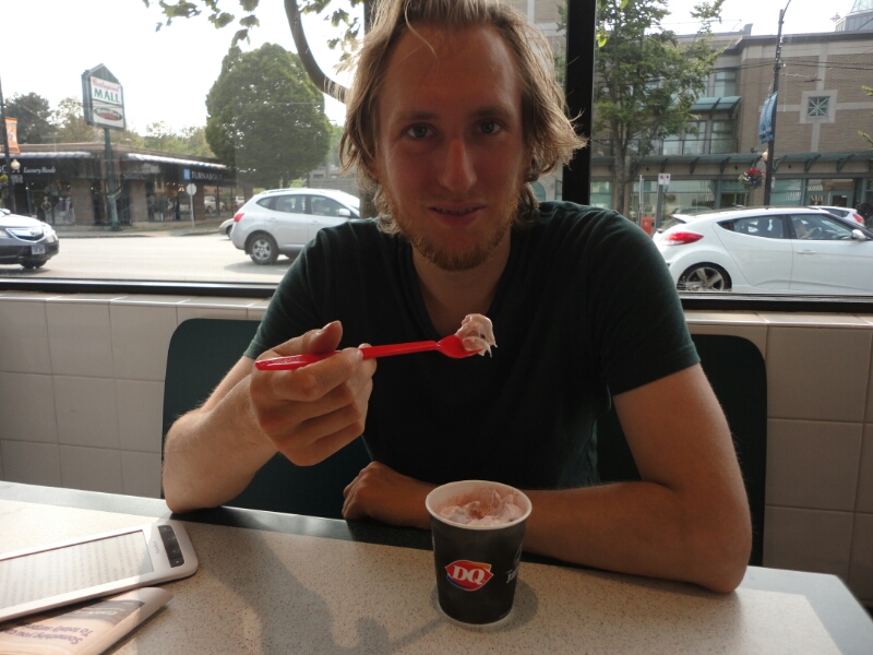
Introducing Benno to Dairy Queen

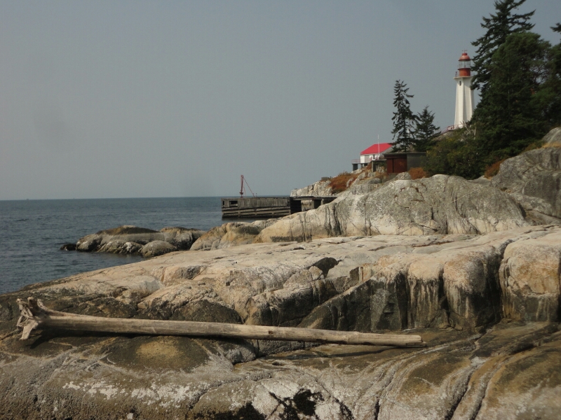
On Thursday we left off for Whistler. Right after crossing the Lion’s Gate Bridge we made our first stop at the Lighthouse Park, where you have a nice view of the city. However, as you can see from the pictures it was quite cloudy. Those are not any clouds, but they are smoke from the many forest fires in British Columbia. There were almost 200 across the province and every day there are more starting, because it has been unusually dry and sunny for a long time.

image
At the Lighthouse Park

Seattle

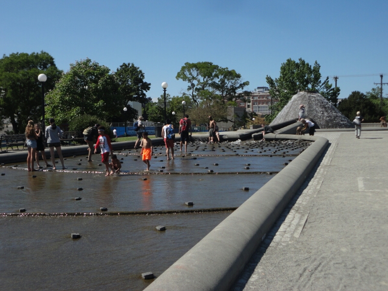
I arrived in Seattle on the 4th of July. Thanks to Jacob, I had already found a place to stay before entering the country. Christina, my host for the next two nights, was super nice and I really enjoyed my time. She gave me some good tips on where everyone goes to watch the fireworks (Gas Works Park), recommended a great Indian restaurant and other stuff. When I left off to explore the city it was early afternoon and I had more than enough time until the fireworks started. On my way downtown I checked out a park with some nice trick fountains and watering holes where everyone was taking a break from the hot weather.

image

I continued and ended up at Pike’s Place Market, an old building with multiple storeys and lots of little shops inside. Most of them were selling gifts, used books or gadgets and home decoration. On the top floor there was also a real market, but the shops were closing up for the day.

image
At Pike's Place Market

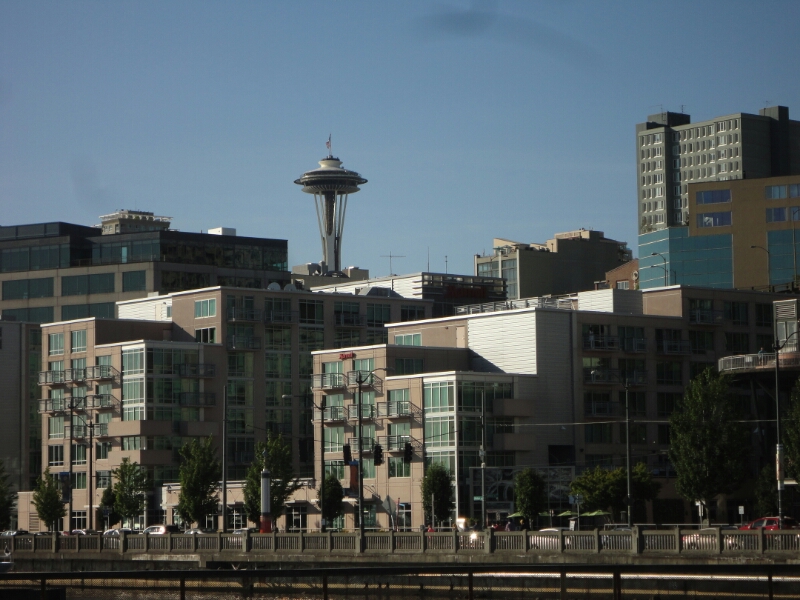
Right across from there is the waterfront with a ferries wheel, the aquarium and many different piers where you can hang out and relax. And that’s exactly what I did, because the jetlag was coming through. After some fish ‘n’ chips (great math: $20 + 1ct  = food plus $4.39 and 1ct change) I followed the waterfront to the Myrtle Edwards Park, close by the Space Needle.

image
View of the Space Needle from the waterfront

Meanwhile it had turned 8 pm, so I still had two hours before the fireworks started, but I decided to head for the Gas Works Park. However, those two hours were not enough, because neither locals nor bus drivers were able to tell me how to get there. I ended up back at the western waterfront, thinking to myself that the view of the city is also nice and I should have a good view with fireworks all over the city. Unfortunately that was not the case and the skyscrapers blocked almost everything. The only fireworks I did get to see were the ones from Manchester and Bainbridge Island, which were more than 5 km across the bay.

image
At the Gas Works Park the next day

The next day I walked all over town again to have a look at the Arboretum, the University of Washington and the famous Gas Works Park. It was indeed not easy to get there, but I had downloaded a bus map and an offline map.

image
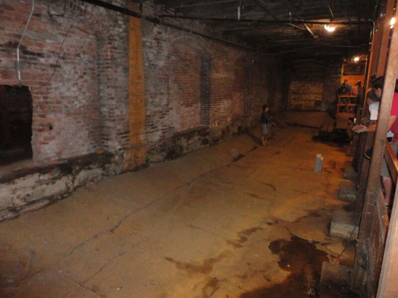
The underground tour of Seattle

On Monday was my last day in Seattle. I took my luggage to the train station and checked out the Pioneer District close by. There they have cool underground tours showing the former ground floors of the surrounding buildings. After the great fire in the late 19th century it was decided to make new roads with a sewage system underneath. Instead of digging in the ground (high groundwater) they build walls and filled the space in-between with debris from the old houses. The walls were more than 2 meters high, so the ground floor ended up being the first floor.

And we’re done

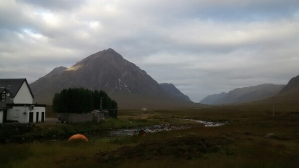
Our last two nights on the West Highland Way we spend camping in the wild. Not that it was really wilderness or anything – we even had a pint of beer in a pub which was not even 100 m from our tent. The only problem we had while cooking and setting up the tent were the many midges flying around us. We were tempted to buy midge repellent for the last night, but decided against it. We just had to be quick on everything.

image

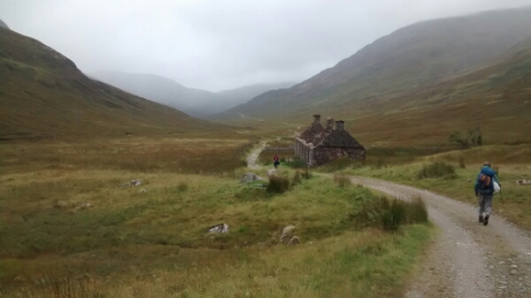
From Kingshouse to Kinlochleven, the second last part, it was only 14 km, so we arrived quite early. Since the last stretch would be the longest and since we didn’t know about camping possibilities along the way, we pitched our tent right past Kinlochleven. And because there was nothing much to do we went to bed at 8 p.m. That way we were still able to get up at 5.30 a.m.the next morning.

image

Getting up early was really important for the last part, which was 24 km (and 750 m up and down) to get to Fort William. As we walked into town we met the Germans again, who had visited the brewery with us on the first day. However, after a short while we realized that we were not yet done with walking for today – our next hostel was about an hours walk away, in one the suburbs of Fort William… The possibilities of taking a train or a bus didn’t occur to us as we thought it would be closer.

image

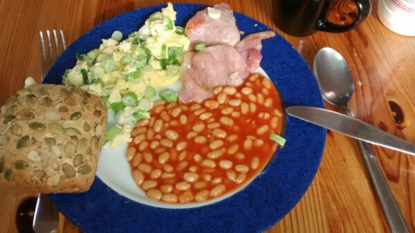
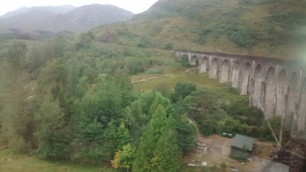
Wednesday was our day to relax. It started really great with a real English breakfast. Then we took the train to Mallaig, a small town on the coast. Unfortunately the weather wasn’t as nice as predicted and we couldn’t find the beautiful sandy beach that was promised. We did enjoy some fresh fish and chips though!

image

image