All posts by Ben

The Inca experience

After seeing the ruins of the “Sacred valley” and the Moray terraces it was time to visit the most famous of all Inca ruins – Machu Pichu. There are different ways to get to there: The Inca Trail (closed in February for maintenance), the Salcantay Trek and the Inca Jungle Trail among others. We chose the latter one, which includes biking, rafting, hiking and zip lining and allowed us to be back in Cusco for carnival without skipping part of the tour.
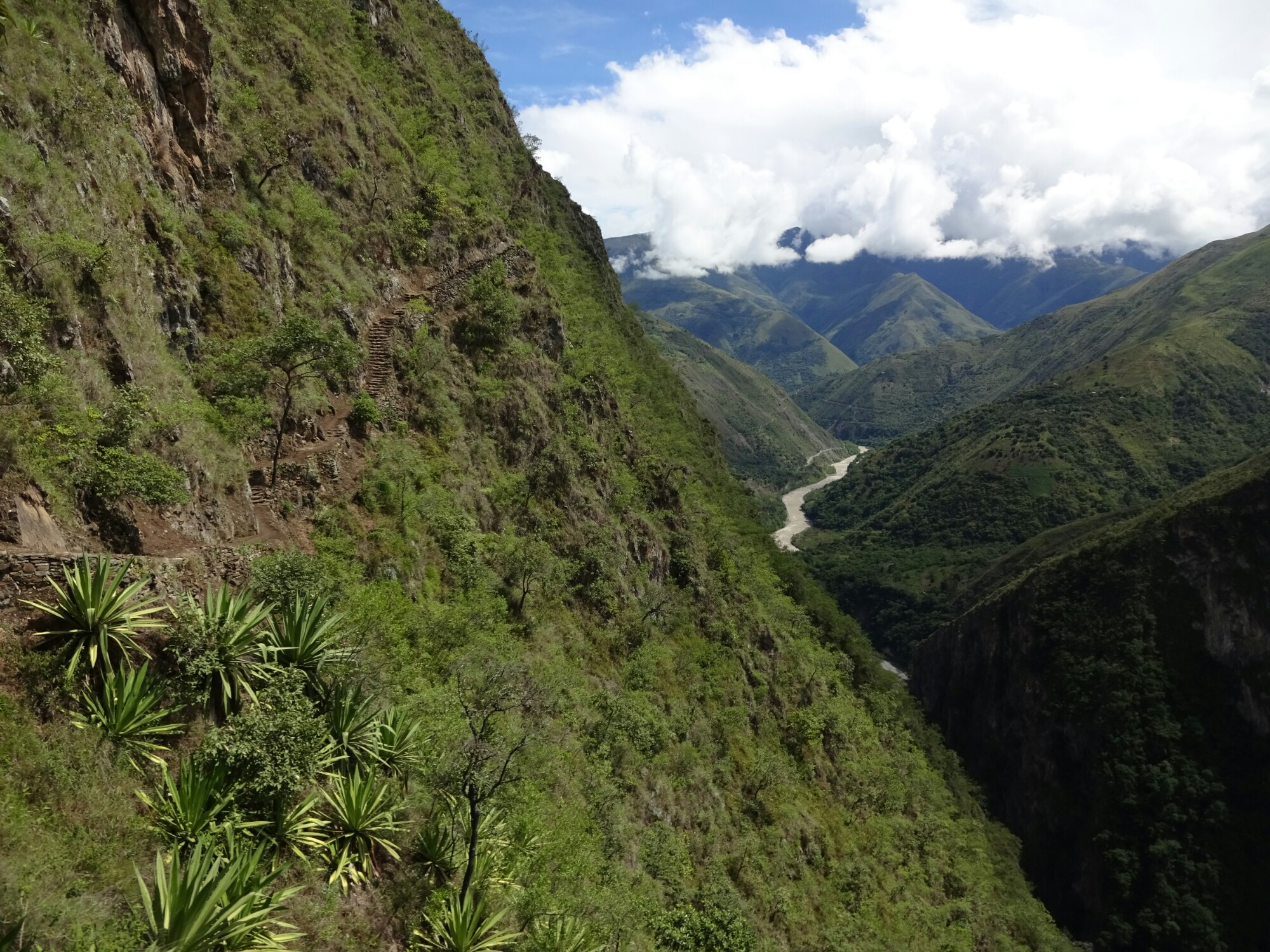
The Inca Jungle Trail promised different activities and great views

We got on the bus early in the morning. With us on the tour were Alex and Lucie from France and three American machos, who were still drunk and hungover from last night’s party. With the bikes and protective equipment all tied up on the roof we left Cusco and drove up to a mountain pass at about 4400m. Since it was covered in clouds, we had to continue a bit further down for a better visibility.

The mountain roads are in bad condition during the rainy season
Alex, Lucie and three drunken American machos joined our tour

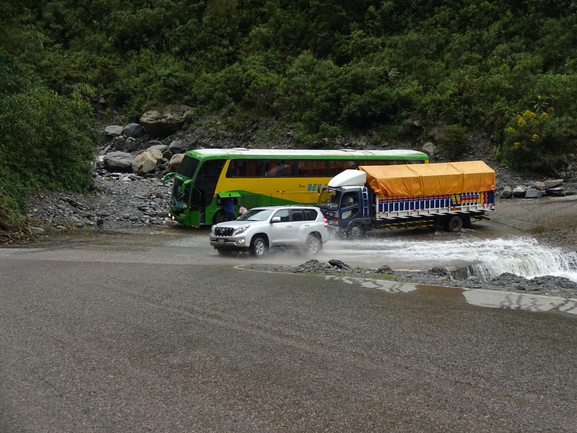
At about 3500m the conditions were better and we changed the bus for mountain bikes. From here it was about 50km only downhill biking. It was a lot of fun! The weather was perfect and we stayed dry except for the times when a stream was crossing the road. On our way down we encountered a bus that got stuck in a narrow curve and trucks who had to cool down their engine manually, because it kept overheating.

Downhill biking for 50 kilometers was a lot of fun
While the bus got stuck in the curve, the truck had to cool down its engine in the same spot

In the afternoon we had the chance to go rafting. While Nik, Alex and Lucie went for it, I decided to skip it, as the water levels of the river were pretty high and the tour agency in Cusco had advised us not to do it for safety reasons. The Americans wanted to go as well, but they passed out on the sofa, as they needed to catch up with some sleep. In the end everything went well with rafting and Nik, Alex and Lucie had a great time.

Santa Maria is a pretty quiet village

The next morning we left Santa Maria and walked along a bumpy road through the jungle. After about an hour we took a small path that left the road and led us up into the mountains, through small banana, coffee and coca plantations. During a short break at the “Casa del mono”, the monkey’s house, we learned about the different types of cocoa products, coffee beans and Inca tequila, an alcohol made from potatoes and several different herbs.

Hiking a lonely road through the jungle
Inca tequila with serpent flavor

The following section was part of the original Inca trail and led us along a narrow path high above the river valley. The views were truly amazing! After a steep descend we followed the course of the river, crossing it twice – by a suspension bridge in disrepair and on a little pulley platform. At the end of the day we were quite exhausted and happy about having some time to relax in the hot springs of Santa Teresa.

This section is part of the original Inca Trail
Part of the railing and some planks were missing on this suspension bridge

Day three started with some rain, delaying our next activity – ziplining. Fortunately we didn’t need to wait too long for the rain to die down. We put on a body harness, gloves and a helmet and were ready to fly across the deep valley. We conquered the different ziplines in different styles, first sitting down, but then also upside down, spinning and “Condor-style”, all of which were a lot of fun! The rest of the day involved some more hiking to Aguas Calientes, the closest village to Machu Pichu.
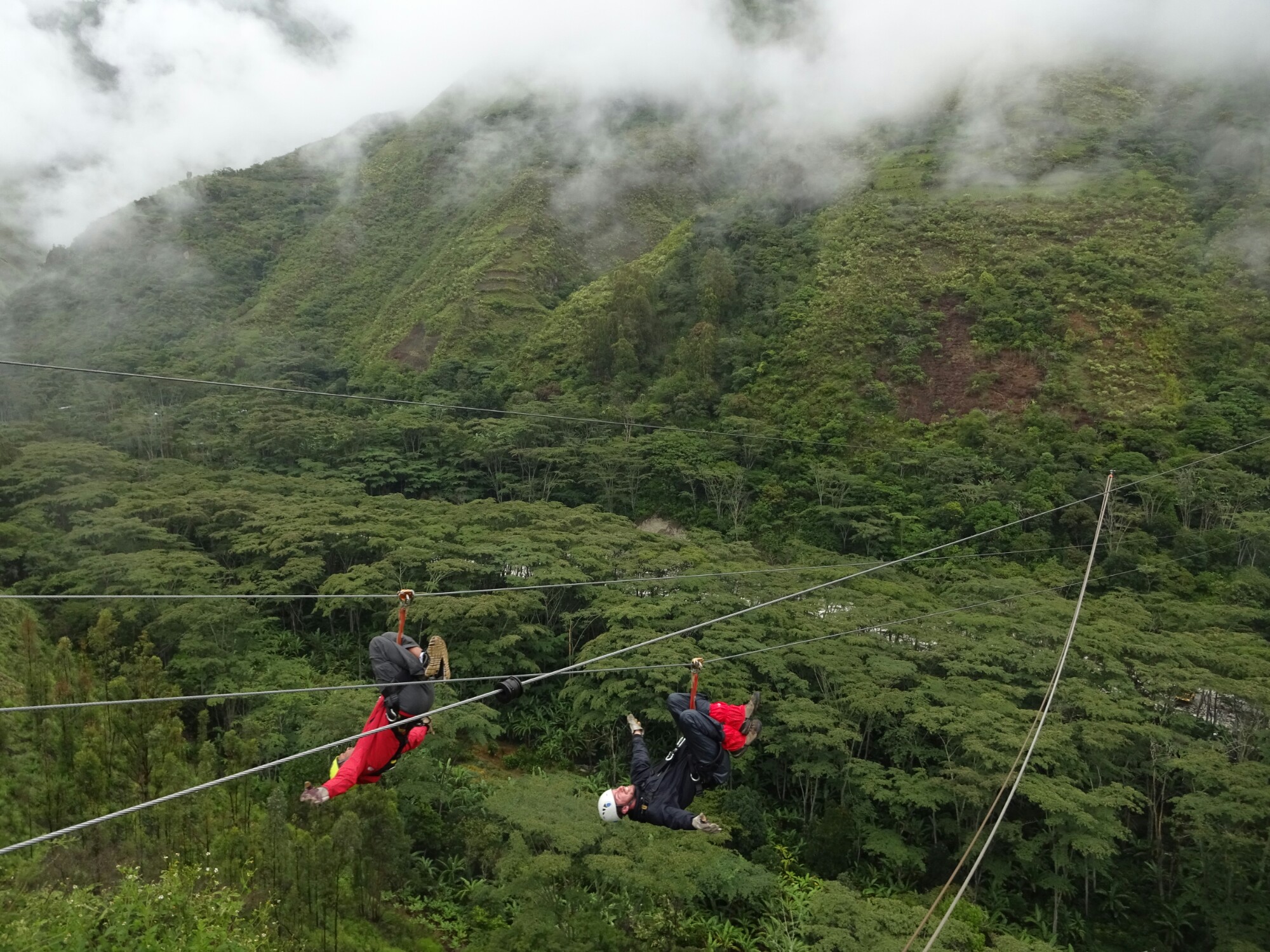
Upside down ziplining high above the valley
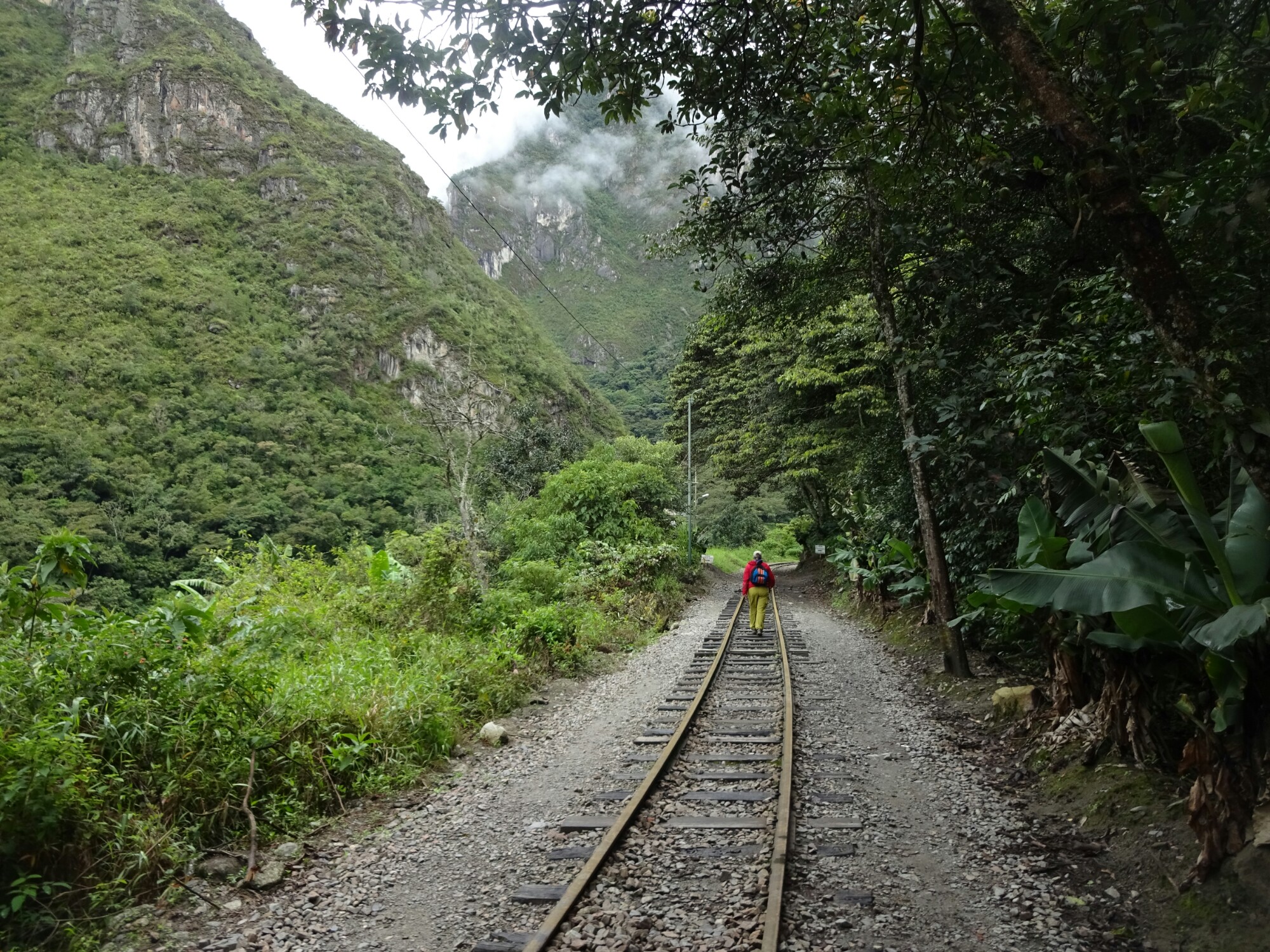
The last part of the trek followed the train line

By then we were ready for the most magnificent Inca ruins. At five in the morning we started our ascend of the several hundred steps that lead up to Machu Pichu. On a guided tour we learned that the city was built in the mid 15th century for the family and friends of the ruling Inca king at that time. With the arrival of the Spaniards it was abandoned and forgotten for about 400 years.

First sight Of Machu Pichu and Waynapichu through the clouds
The roofs of some of the houses were rebuilt

The rest of the day we explored the large area on our own, discovering little details that we hadn’t seen before on the tour. We also climbed the steep slopes to the top of Waynapichu, constantly wondering how and why the Incas had bothered to build more structures up there. Reaching the top, it became clear, that the 360° view is perfect for the defense of the city and a great spot for sending signals across large distances.
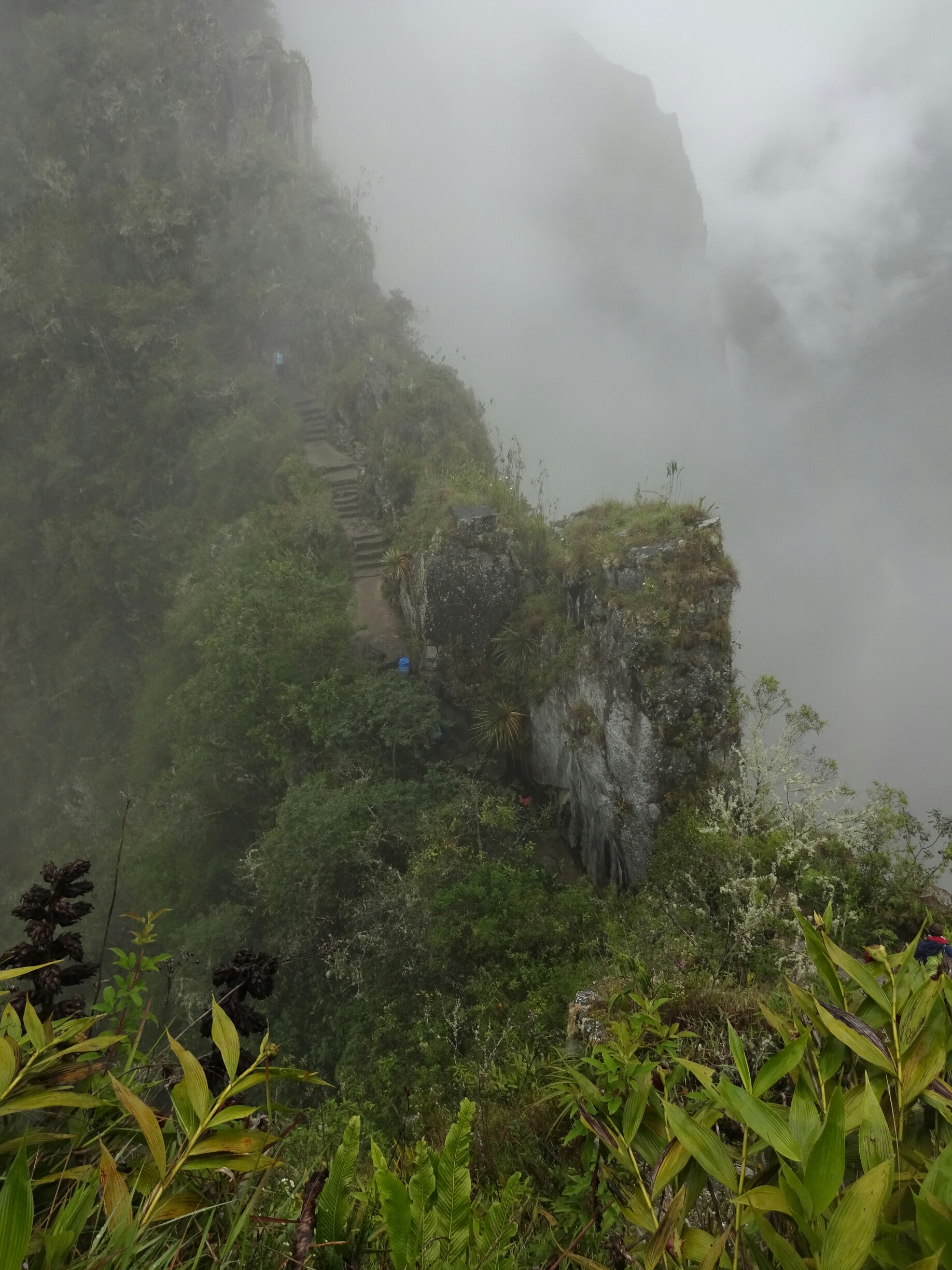
The narrow path to Waynapichu
The classic view of Machu Pichu

The way back to Cusco was long and included a train and a bus. It’s the fastest, but also more expensive route, but it allowed us to be back in time for a crazy carnival party the following day. The main scene was happening on the “Plaza de Armas”, where hundreds of locals and tourists engaged in a huge fight with foam spray and water bombs. But the fighting was not limited to the main square, so we had to be careful while walking through town.

Carnival in Cusco was a huge fight with water balloons and foam spray
Allied fighting with Catherine

Meet the rock masters

Cusco was the capital of the Inca empire, which stretched from southern Colombia all the way to the middle of Chile. It was divided into four different sectors, all of them meeting in Cusco. Therefore, it has been a large and important city for centuries. It was home to thirteen different Inca kings, who built large palaces and temples all over the city.

A statue of one of the Inca kings at the main square in Cusco

When the Spanish arrived, they believed that the Inca were pagans, as they had different gods – the sun and the moon – and a strong connection to Pachamamma, mother earth. As a result, the Spaniards destroyed those buildings and placed Catholic churches on top of the remaining foundation walls. These remnants still show the superior masonry techniques of the Inca, who prepared each rock individually, working without mortar.

Catholic churches were built on top of important Inca buildings
The remains of many Inca walls are still present in the architecture of Cusco

To get a better idea of the Inca culture, we took a tour to the “Sacred valley”. In Pisac we encountered the first ruins, located on top of a mountain. There were houses and terraces, which were used for growing all kinds of potatoes and other vegetables. The storage house had many windows and was located on top of the mountain, as it provided for a natural cooling by the wind.

First sight of the “Sacred valley” of the Incas
The ruins of houses and wide terraces at Pisac

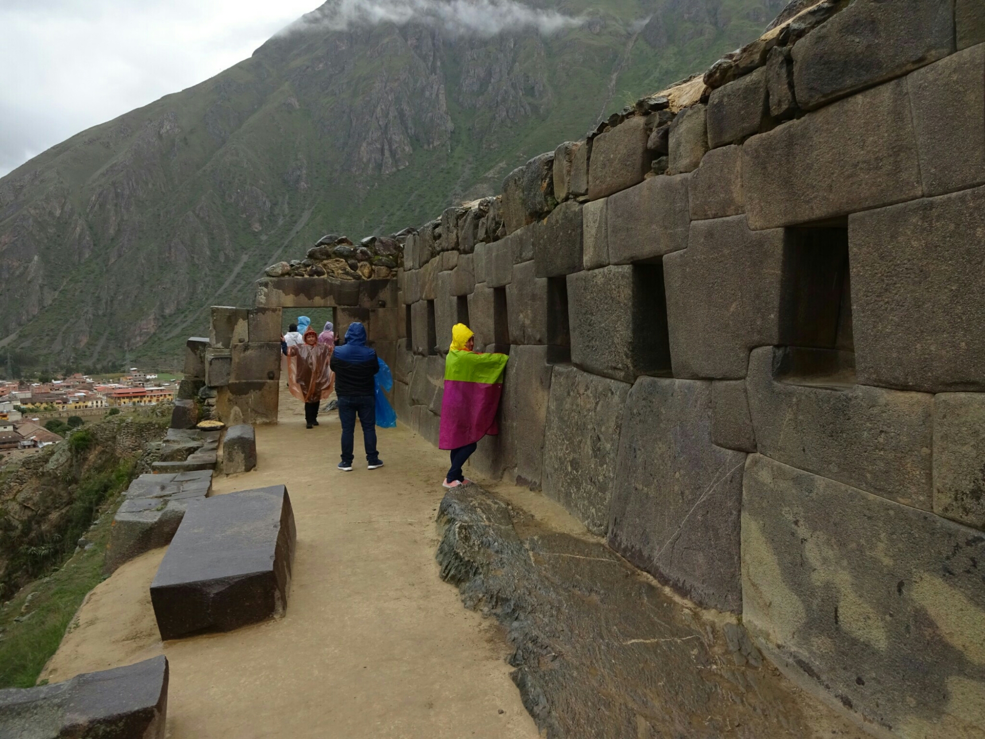
More ruins are located in Ollantaytambo. Here, we climbed nearly 150 steps to the top of the hill, where more houses and an important temple of the sun is located. Once again only the foundation walls remain, but it’s still quite impressive. Equally impressive is the system of little canals that run through the old town, bringing running water to every household.

It does rain from time to time, since we’re in the rainy season
The “Temple of the sun” in Ollantaytambo is a perfect example of superb Inca masonry

The last stop of our tour was Chinchero, a small village with more Inca ruins and an ancient Catholic church. However, the village is more known for its handicraft, as most inhabitants work in groups to make colorful ponchos, sweaters, scarfs, table runners and more. They also show, how they clean and split the raw alpaca wool. Afterwards, the yarn is colored with different materials, all natural and organic. The only remaining question is, how they can produce so much that the whole country is full of places, where these textiles can be bought for cheap? The answer might be related to sheep wool, mechanical fabrication and China.

A demonstration of the natural cleaning of alpaca wool in Chinchero
Coloring is also purely natural with different plants and bacteria

The next day we booked another tour to Moray. This is a huge terraced area, which was used by the Inca to experiment with different fruits and vegetables to adapt them to the height of the Andes. They managed to create a micro-climate, where each terrace had an average temperature difference of about 0.5° C to the next terrace. And it gets even better, because the ground works as a natural filter and prevents the basin from getting flooded during the rainy season.

The terraces at Moray had their own micro climate

The other destination of that tour were the salt mines of Maras. Here, a mineral-rich stream is diverted over hundreds of basins, where the water slowly evaporates, leaving the salt behind. They have been used since pre-Inca times and have been extended several times since then.

The salt terraces of Maras have been used and extended for centuries
As a tourist we could walk right into the terraces

Desert rollercoasters

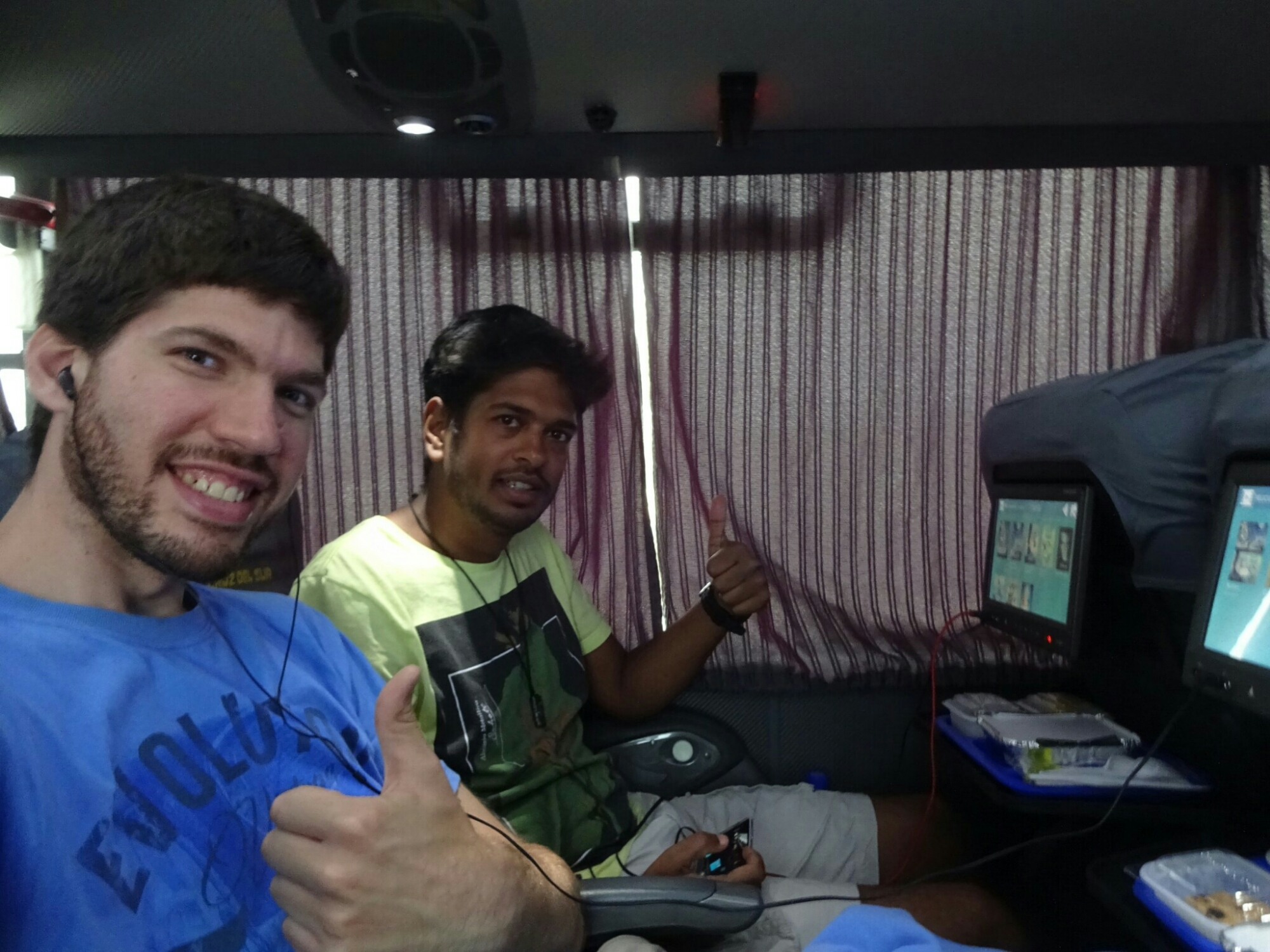
After a week of being in Lima it was time to continue to discover more of Peru. With Nik I boarded the most comfortable bus I’ve been on so far, equipped with almost anything you could ask for: Comfy seats, personal on-board entertainment and good food. It took us a few hours south of Lima to the coastal city of Paracas.

Traveling with “Cruz del Sur” is almost better than by plane
The dark clouds are only gathering at the mountains

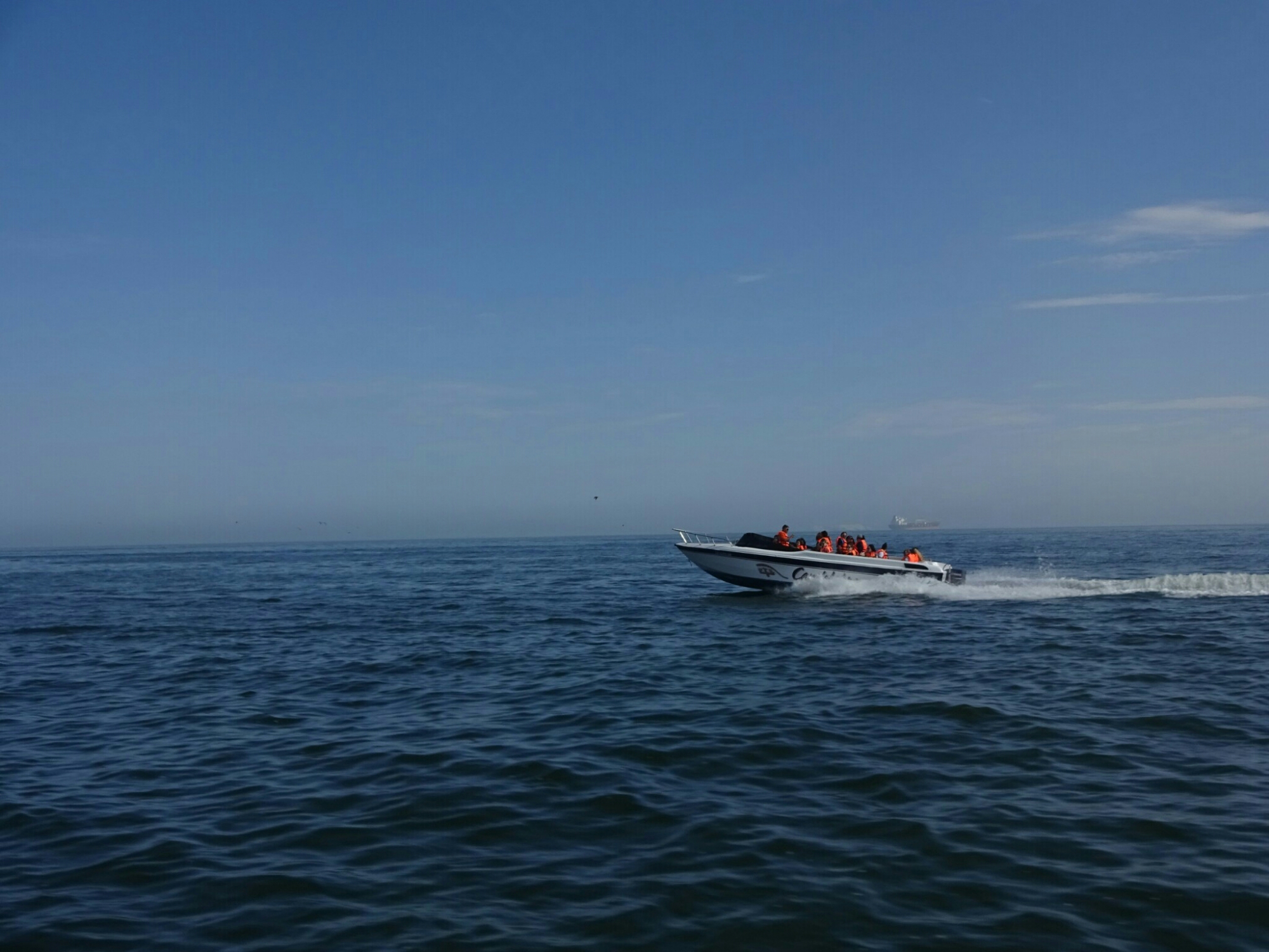
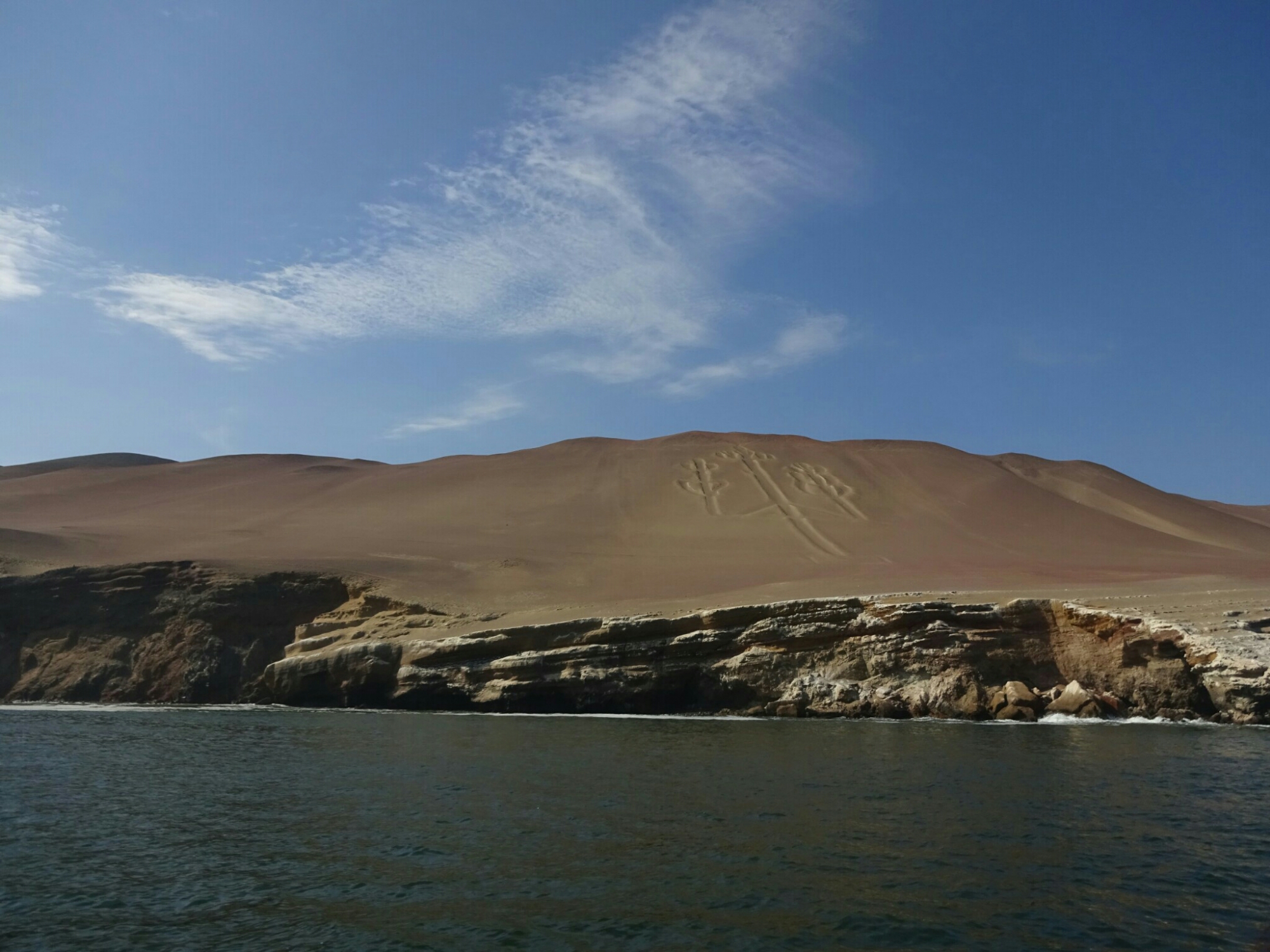
The next morning we took a boat cruise to see the two main attractions that Paracas is known for. The first one is a giant chandelier scratched into the desert sand on the sloped coastline. There are different theories on who built it: It could be related to the Nazca lines, but it’s quite far from them; or it could be installed by San Martin, the liberator of Peru and a freemason, as the symbol has different elements that can be found in freemasonry as well.

Riding the speed boat to get to the main attractions of Paracas
It’s still unknown who carved the giant chandelier into the desert floor

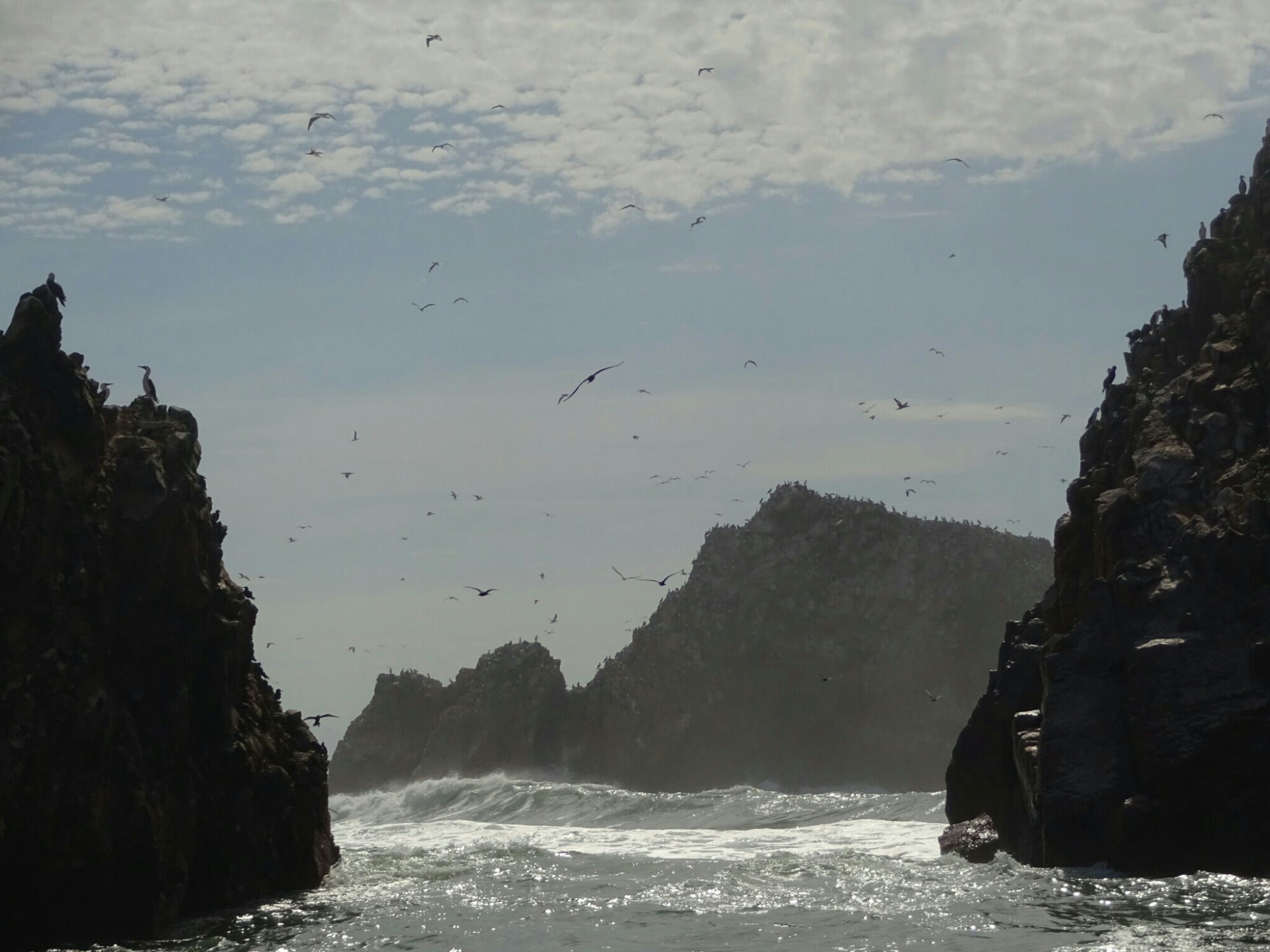
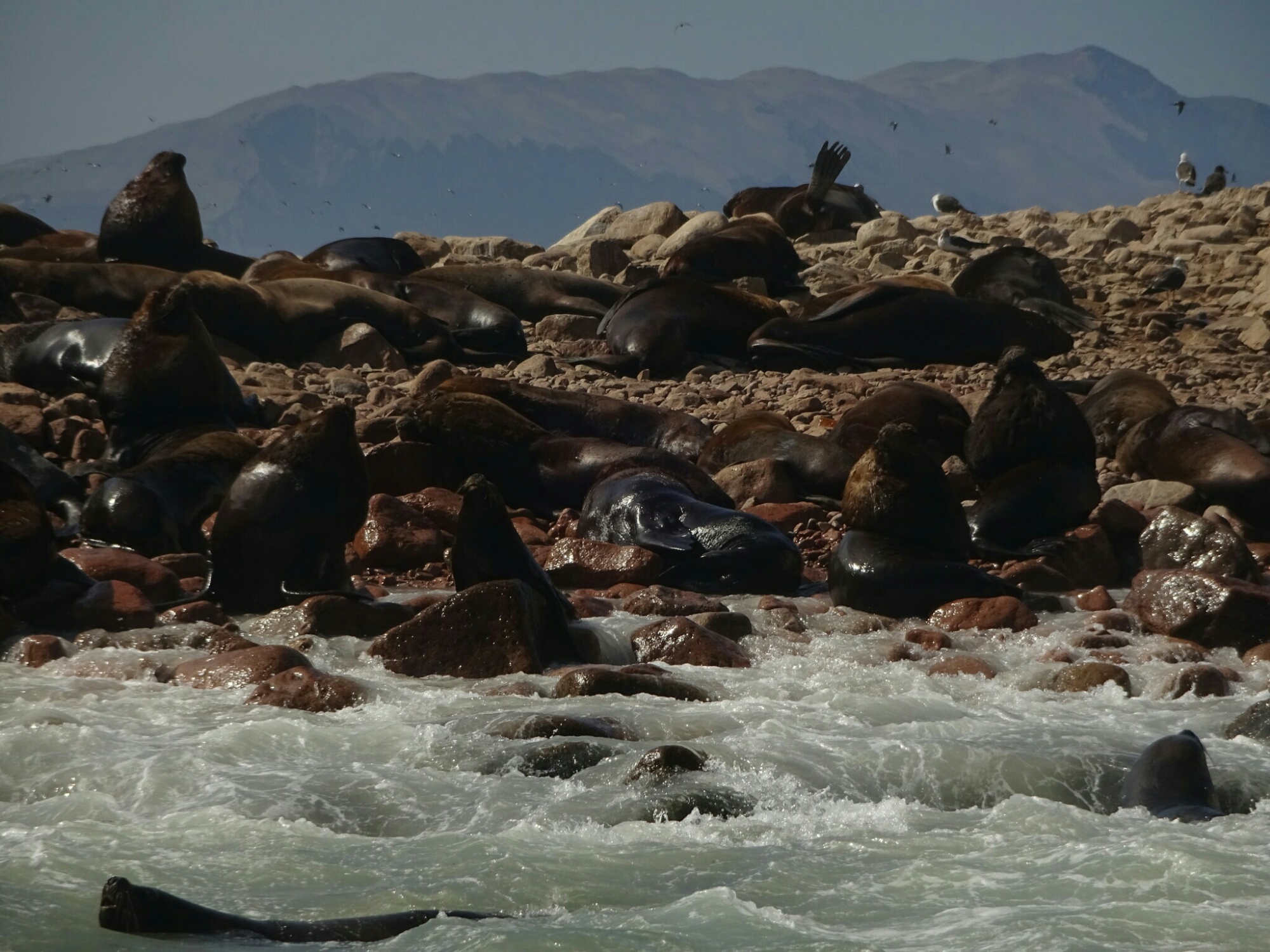
The other main attraction is a bit further of the coast. We bounced across the waves in our little speed boat to get to the Ballestas islands, also known as “Poor man’s Galapagos”. However, even if it was quite nice to see all the different birds and many sea lions, I’m sure that the real Galapagos islands are even more impressive.

The Ballestas Islands are home to many birds…
… and sea lions, who prefer to rest on the narrow beaches

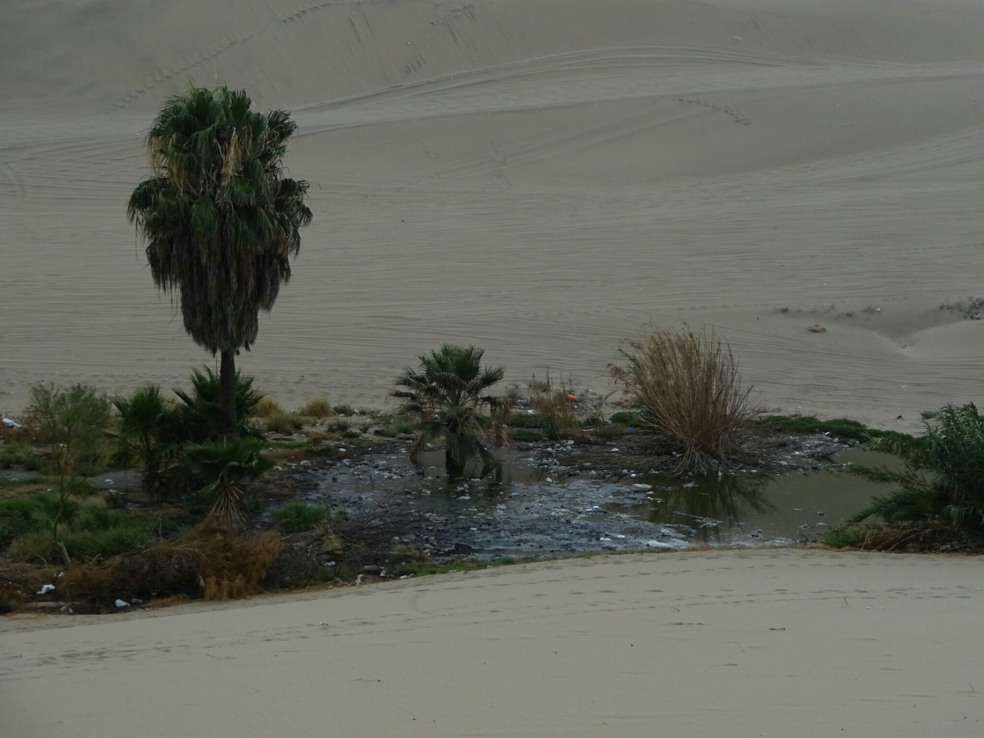
After the tour we boarded another bus to get us to Huacachina. This is a tiny village around an oasis. Even though it’s only 4 km out of Ica, it feels like being in the middle of the desert, as it is surrounded by high dunes on all sides. While having a look around, we found another small oasis. This one seemed to be the sewage for the village, as it smelled accordingly and was full of trash. Paradoxically it is located a bit above Huacachina, so that I’m sure that water ends up in the main lake of the oasis.

Huacachina is an oasis surrounded by high dunes
Unfortunately it’s not as paradisiacal as it may seem at first sight

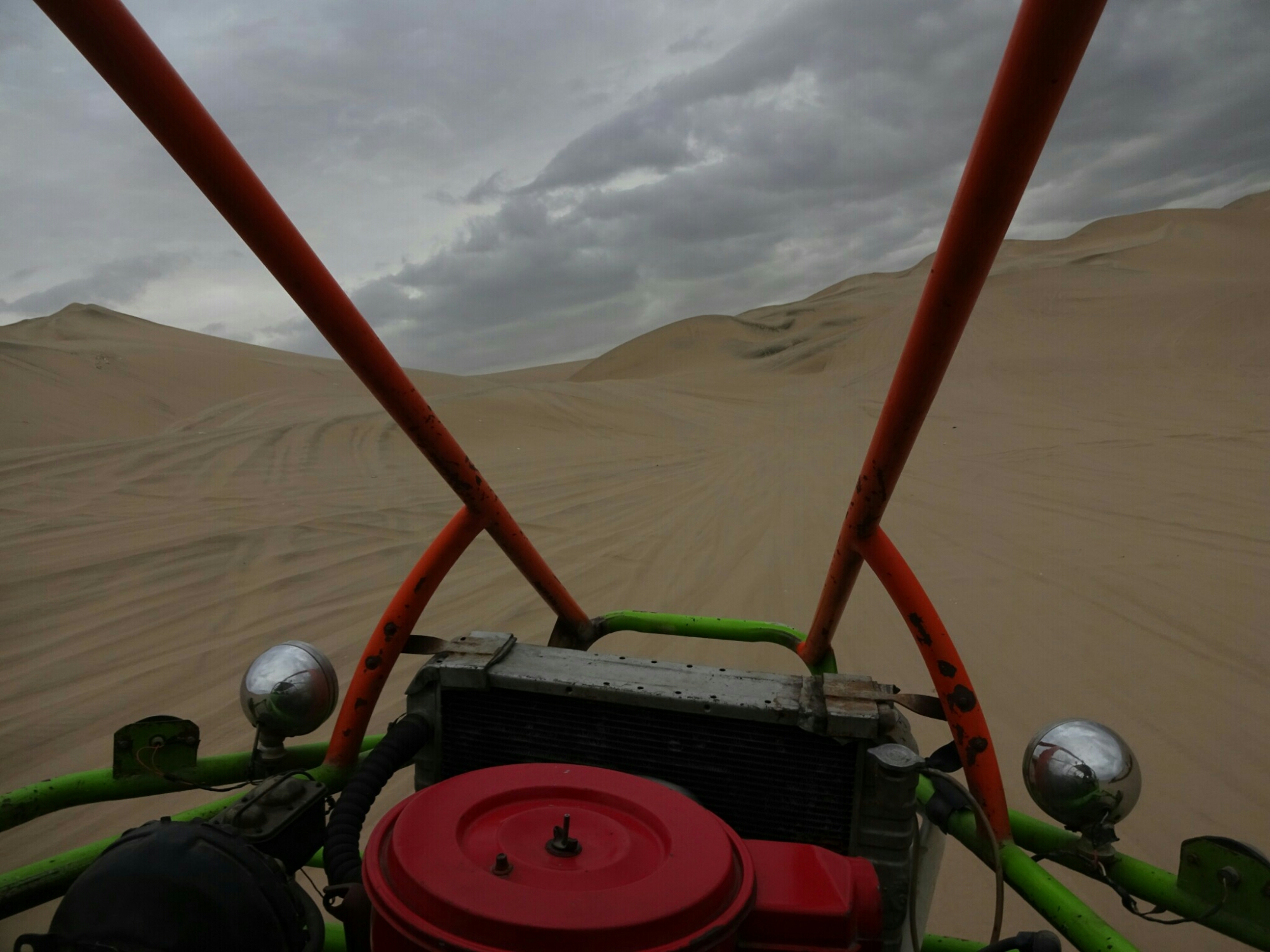
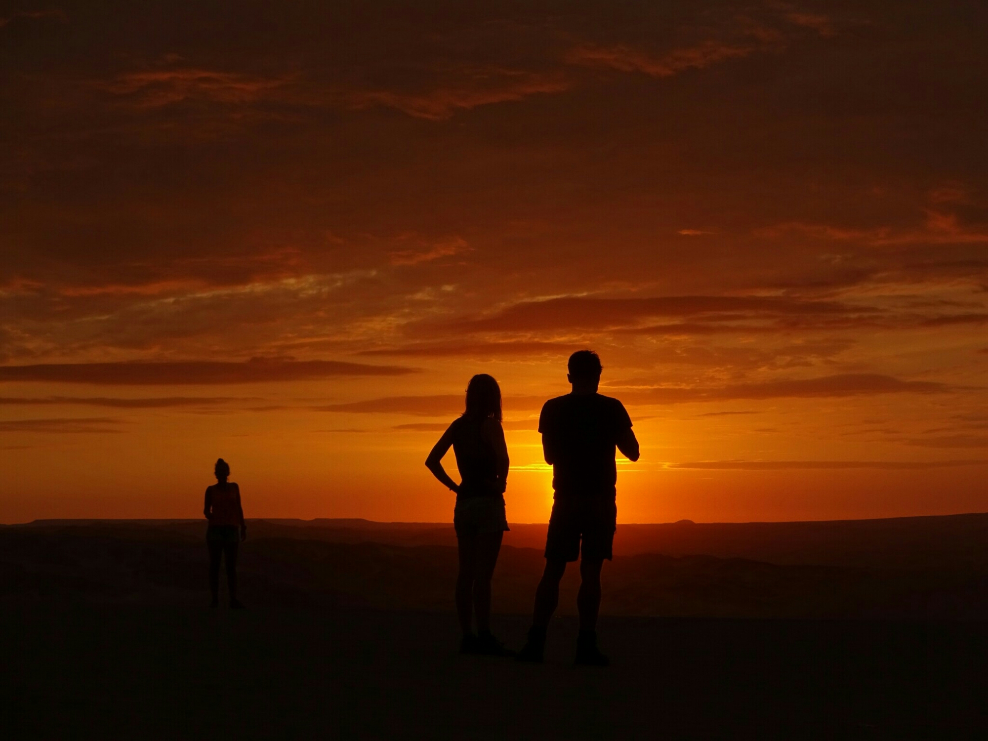
In the afternoon we boarded a large sand-buggy, which took us deeper into the dunes. It was an awesome ride up and down the steep sandy slopes, which felt like a proper rollercoaster ride. Sometimes the dunes were so steep that we couldn’t see the end as we were about to go down. Afterwards we tried some more Sandboarding before driving off to watch the sunset.
Riding the sand-buggy was a lot of fun!
The sunsets close to the Peruvian coast are quite beautiful

We continued the next day and took another bus to get us to Nasca. This city is world famous for its mysterious images scratched into the desert floor thousands of years ago by the Nasca culture. Nobody knows how they managed to create them without aerial view. As they are about 50 m and bigger, it’s best to see them from above in a tiny low flying plane, which meant boarding another half hour of rollercoaster ride, as the air gets a bit rough in the afternoon.

Boarding a tiny airplane for yet another rollercoaster ride
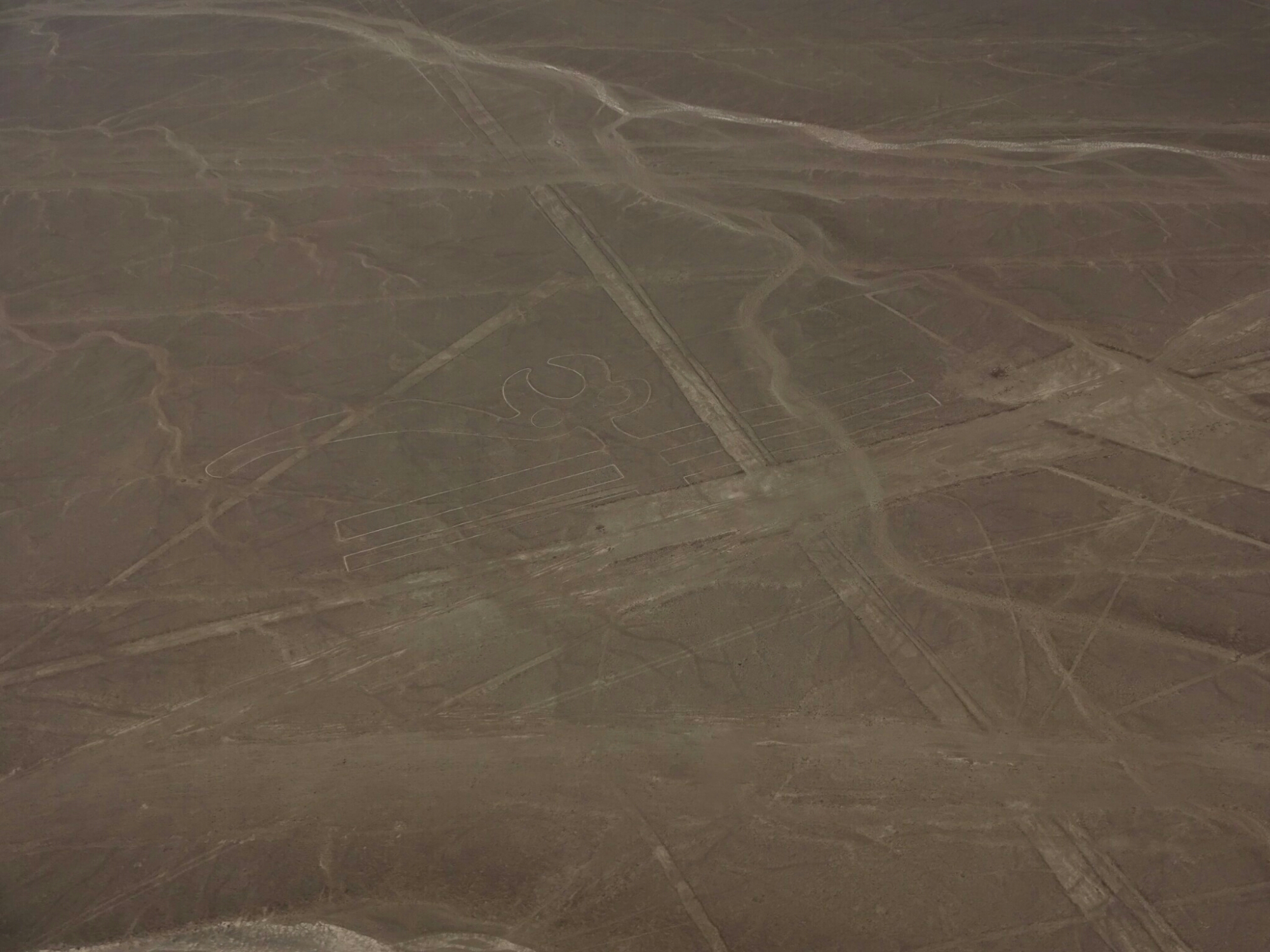
The desert around Nasca is filled with symbols and straight lines

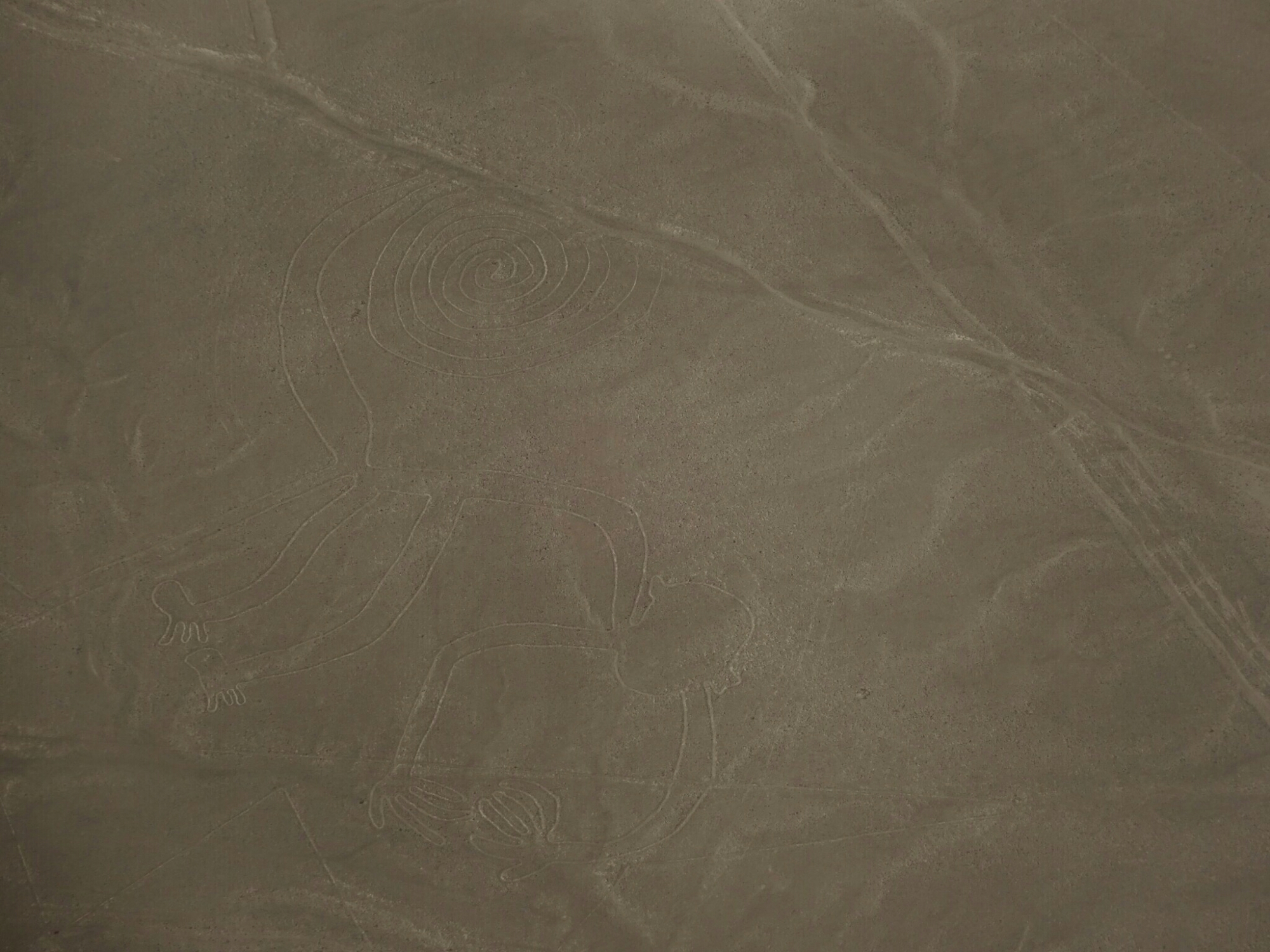
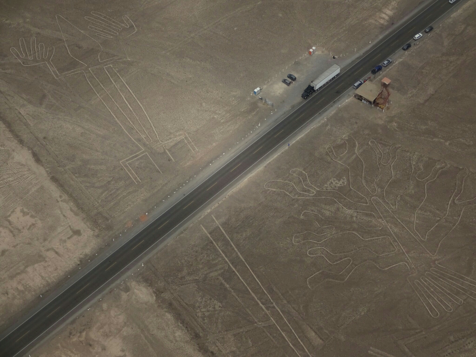
The flight took us on a loop to view 12 of the main figures, including birds, a monkey, a tree, a lizard and a so-called astronaut. There are even more symbols and mysterious straight lines crisscrossing the desert all the way to the horizon. It is believed that the symbols were used for religious ceremonies, as ceramic bowls and human bones were found nearby.

The monkey is clearly visible from above
The lines were not yet discovered when the first highway was built

In the area surrounding Nasca, more archeological sites can be found. We decided to visit a few of them, as we had still some time until our next bus to Cusco was leaving. My favorite was the aqueduct, a series of open wells, which were used by the Nasca people to access an aquifer. That way they were able to farm fruits and vegetables in this desert climate.

This aqueduct made the aquifer accessible for the Nasca people
These lines symbolize textile and wool

Lima – city of contrasts

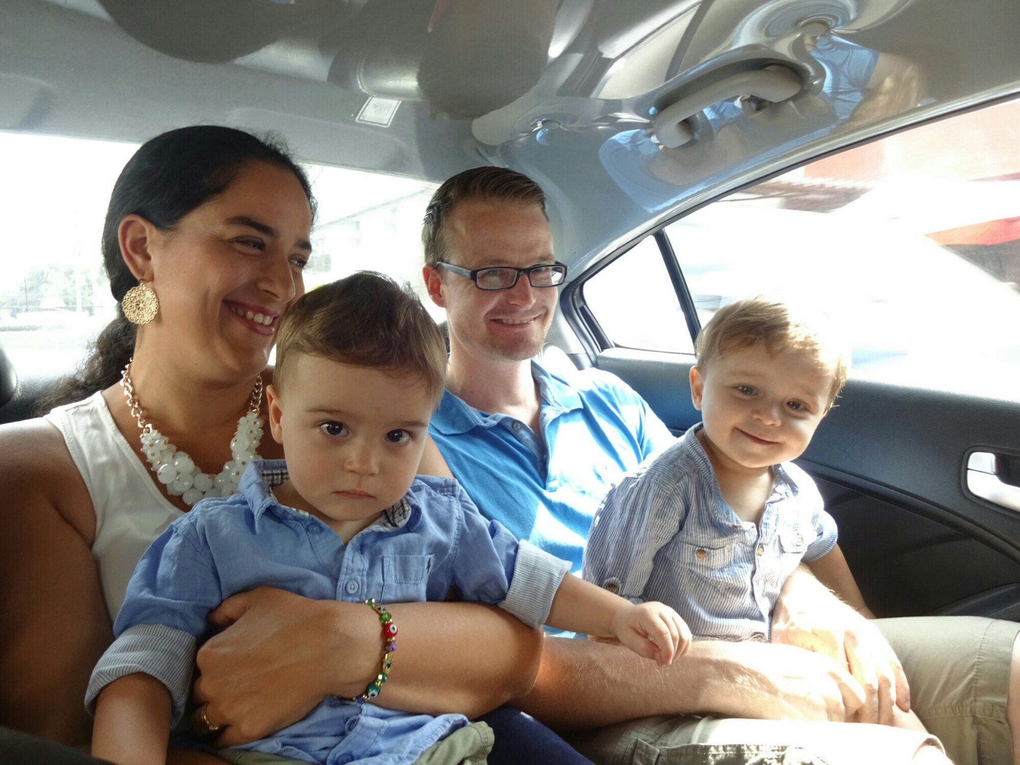
From Santiago I took a plane to go all the way to Lima to meet up with my friend Frank from Hamburg. He is taking two months parental leave to live in Lima with his wife, Lu, and their twins Mateo and Mariano. Lu is from Peru, so this is the chance for her family and friends to spend some time with them. For me it was also nice to get a break and have a few days to recover from traveling.

Visiting Lu, Mateo, Frank and Mariano in Lima

Therefore, I didn’t mind to join them on their daily routines for a few days. And even though they are in Lima, it’s not like real holidays, because the kids need to be entertained for most of the day. They get up early, take their time for breakfast and spend most of the morning in different parks and playgrounds until it gets too hot to be outside. And after some sleep during midday, Mateo and Mariano need to get their lunch before it’s time to keep mom and dad busy while playing in the living room. It’s really a full time job!

Keeping the kids entertained in one of the neighboring playgrounds
Every Saturday is a hands-on music performance in the Reducto park

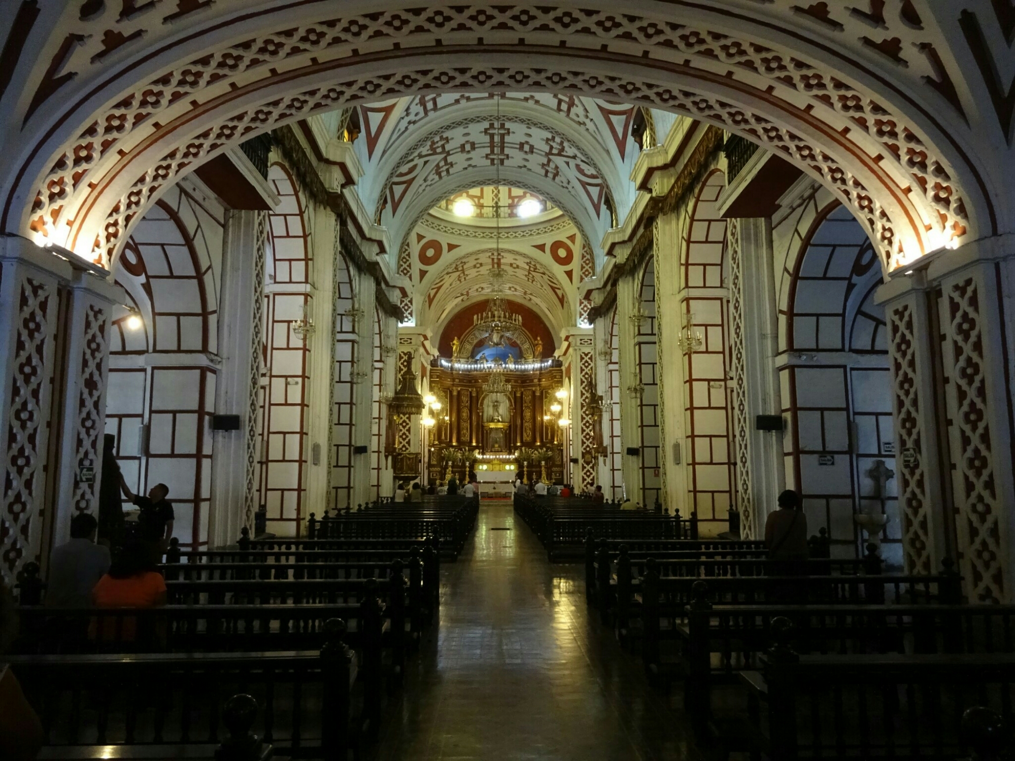
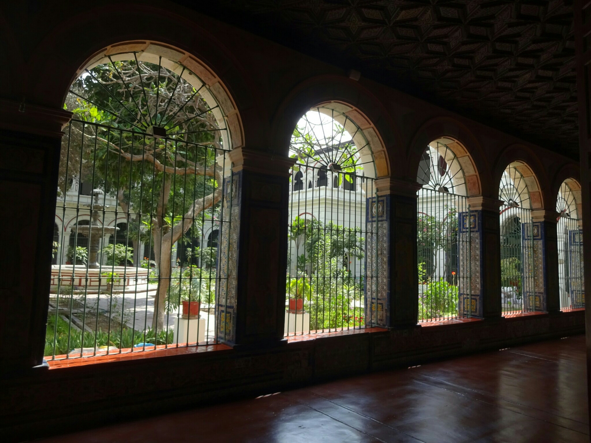
Lu’s mother is staying with them for the whole time, so she was helping out a little bit as well, which allowed Frank and me to spend half a day exploring the city on our own. We walked around downtown and found the “San Francisco de Asis” church and monastery by chance. I had heard about this church before, which has the earthly remains of thousands of people in its catacombs, as it used to be the main cemetery for Lima.

The “San Francisco de Asis” church in downtown Lima
The neighboring monastery and the catacombs can be visited on a guided tour

About five blocks away is the central market, where they sell everything: From underwear and clothing, spices, fruits and vegetables to cheese, seafood and meat, which had surprisingly almost no flies despite hanging there most of the day without refrigeration. A lot of it is probably bought and used by the restaurants in the neighboring Chinatown, which is home to the largest Chinese population on the southern hemisphere.
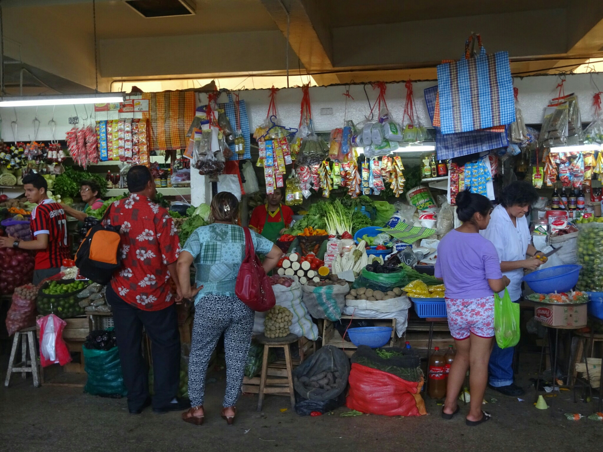
The central market has lots of raw meat on display
They sell almost everything in their little booths

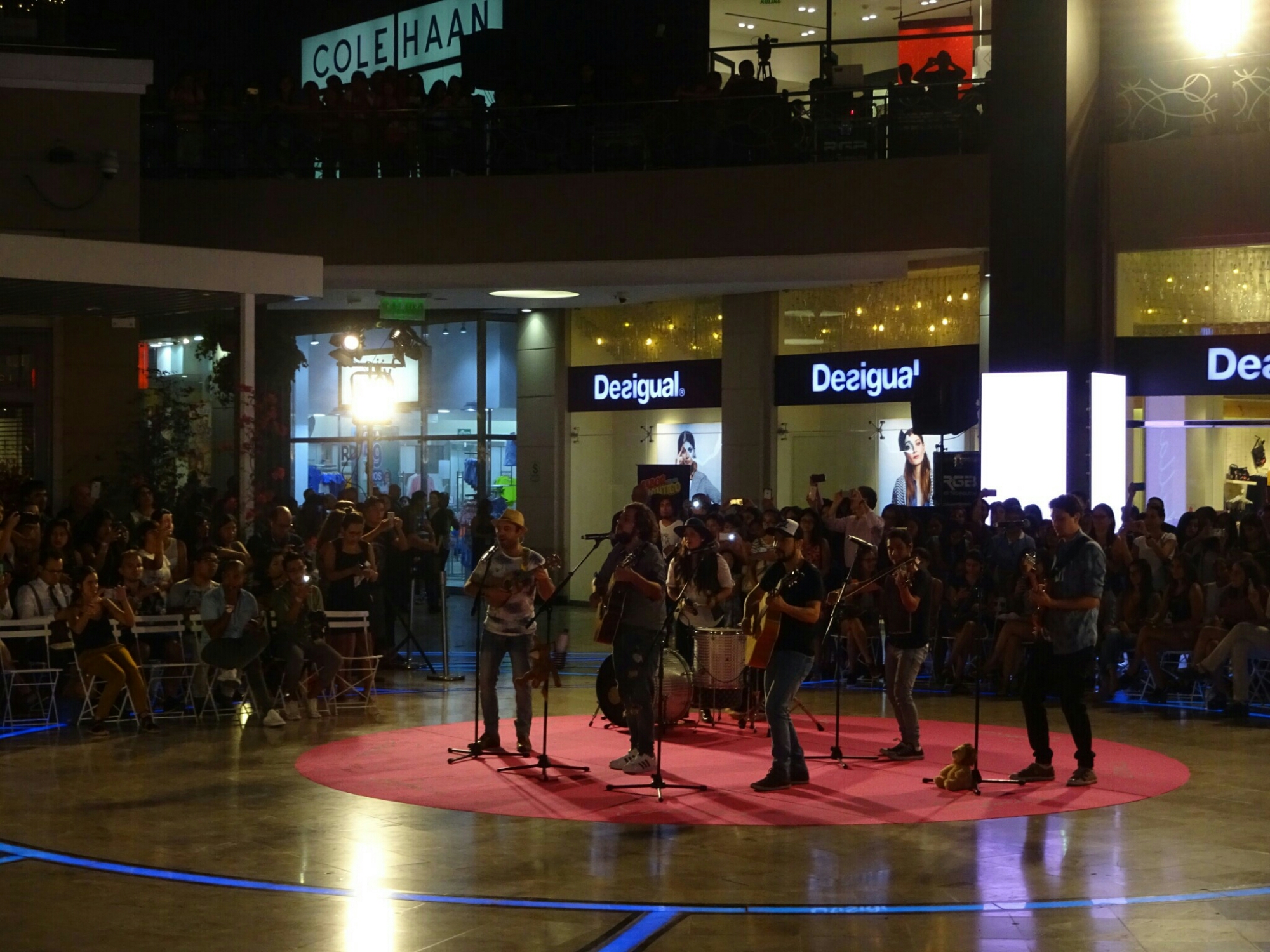
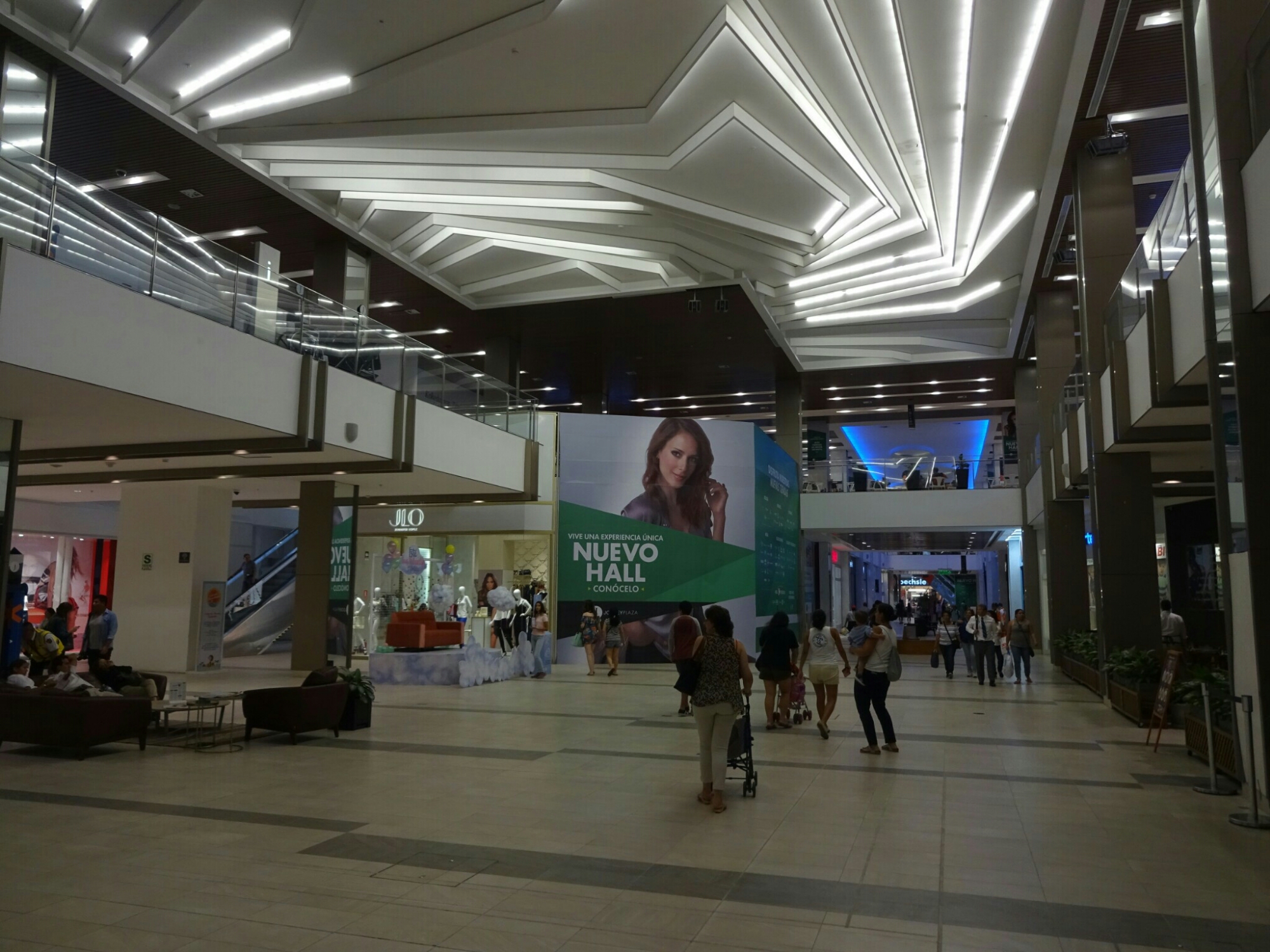
Afterwards we returned to the apartment to pick up Lu, the kids and Lu’s mother for an afternoon at one of the biggest malls in town, the “Jockey Plaza Shopping Center”. This was the total opposite of what we had seen in the morning. Here, everything was clean, new and quite expensive. However, we didn’t come here for shopping. Instead we kept entertaining Mateo and Mariano with a giant sandbox and a hairdresser for kids until the evening, when Lu’s cousin was playing with his band “We the Lion”.

The “Jockey Plaza Shopping Center” is the complete opposite of the bustling Chinatown
Lu’s cousin is playing with his band “We the Lion”

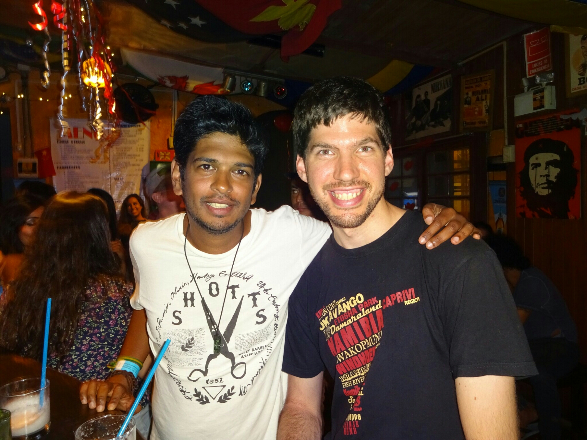
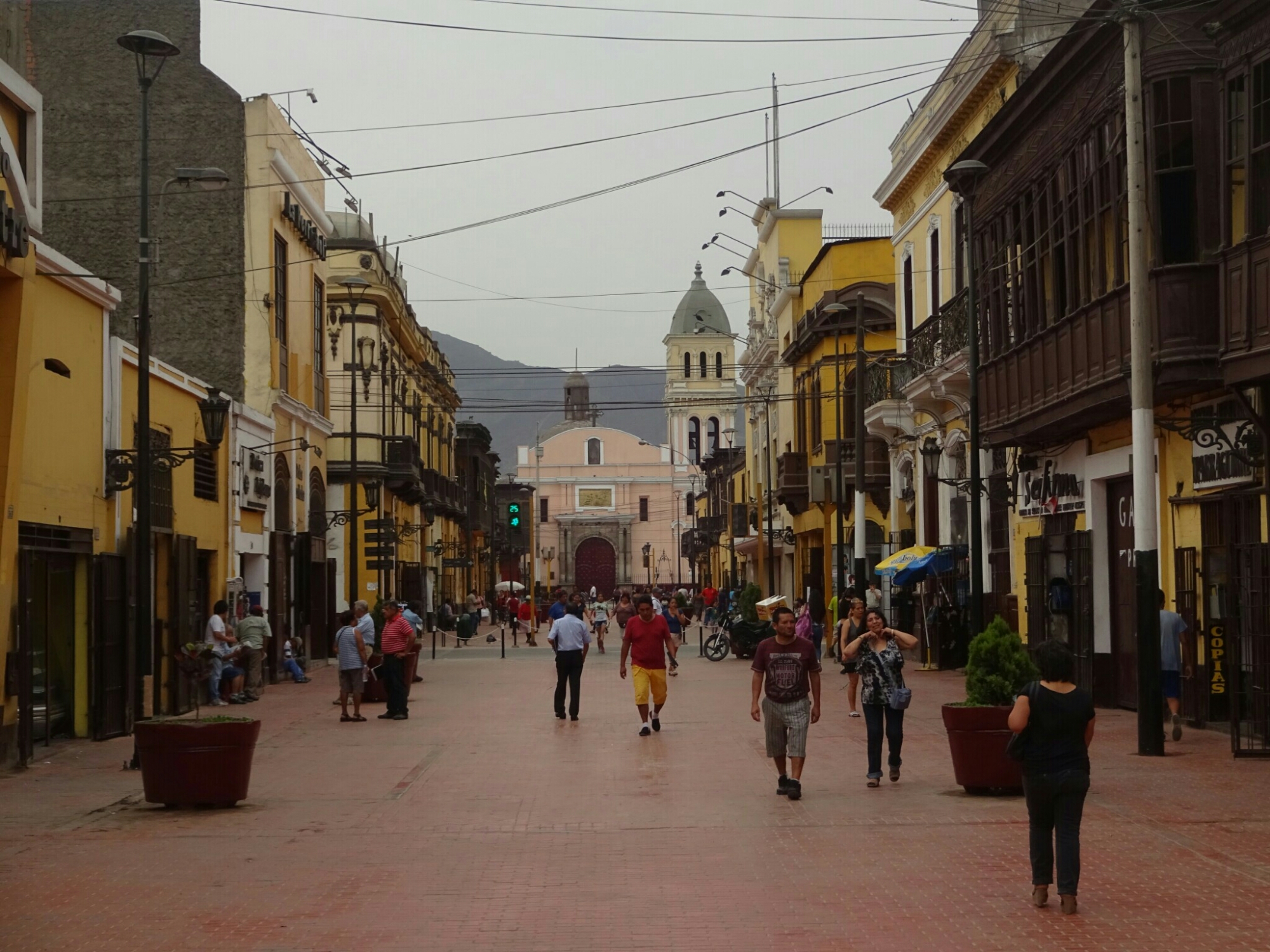
After a few days, my friend Nik arrived. I had met him in Brazil, from where he flew to Colombia while I went south to Argentina. We had kept in touch and went on to explore Lima. The most interesting piece of information on an otherwise pretty boring free walking tour was that most of the colonial style buildings around the “Plaza de Armas” are not even 80 years old! The original buildings have been destroyed in fires or earthquakes and looked different from what can be seen today.

Reunion with Nik, who was traveling with me through Brazil

The buildings at the “Plaza de Armas” are not as old as they look

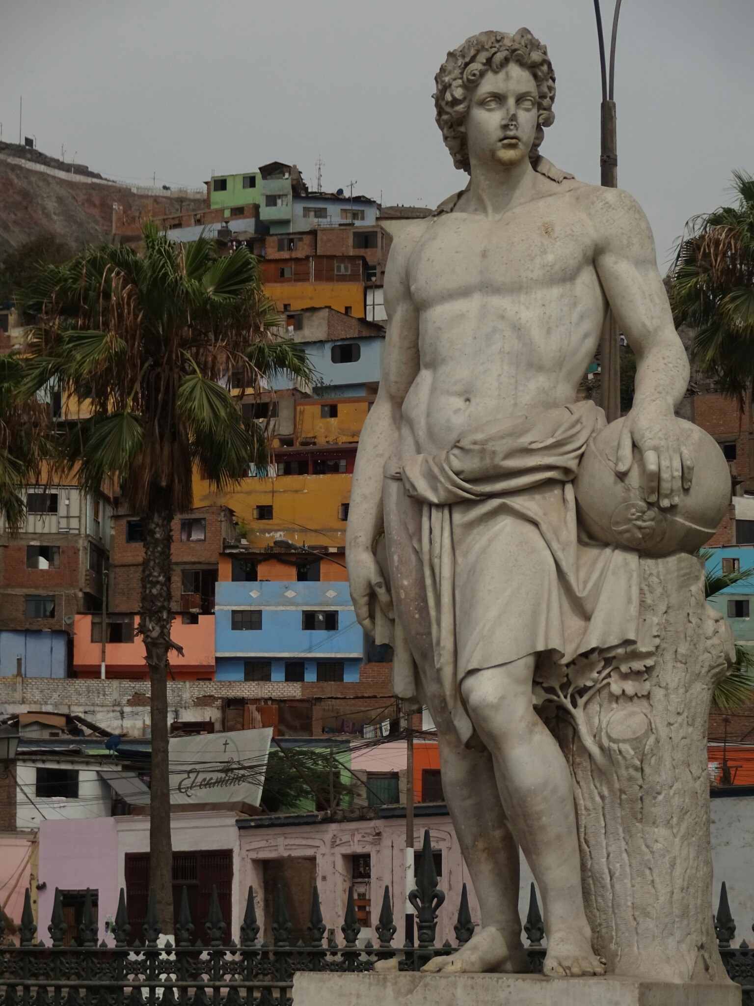
Another interesting part of the walking tour could have been the district of Rimac on the other side of the Rimac river. However, we were told not to enter this UNESCO world heritage site, as it is too dangerous for tourists. Curious as we are, we went anyways after finishing the tour. It turned out to be pretty interesting, as the buildings were authentic and because we truly were the only tourists. Although another local women tried to stop us, we continued, but stuck to the main roads where there were still plenty of locals around.

Authentic colonial style buildings in Rimac, a UNESCO world heritage site

Old meets new – parts of Rimac are better to avoid

 Tracing Chilean history

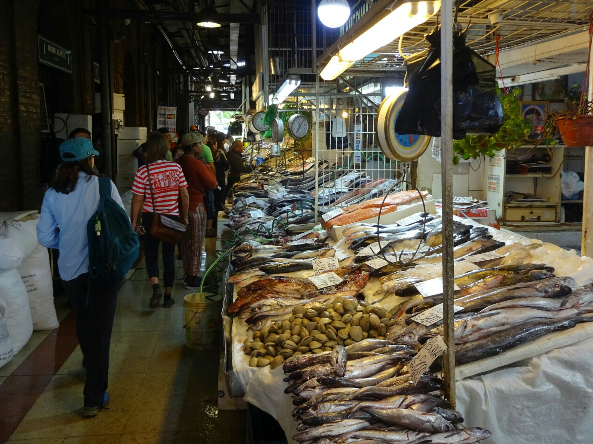
We arrived in Santiago early in the morning and had the full day to discover the city. We started off with a free walking tour of the more unknown highlights of the city. This included several local markets with fresh fish and fresh meat, but also lots of fruits and vegetables. It was a true feast for the eye, especially after coming from Patagonia, where fruits and vegetables are not readily available and if they are, they are very expensive.

Visiting the fish market in Santiago
One of the big market halls has a decorative rooftop

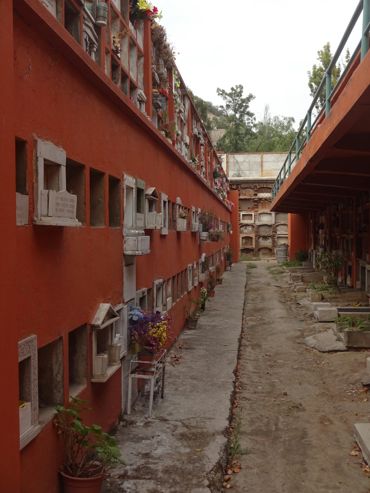
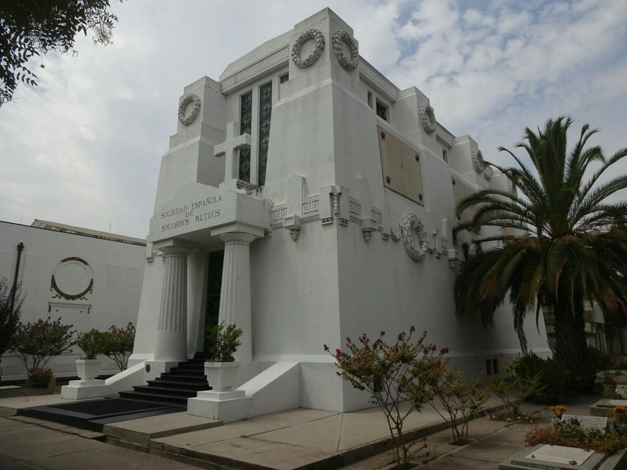
The other part of the tour took us to the main cemetery, which is frequently visited by locals due to the lack of parks and green areas. It has large areas with multi story graves for people with a lower income, but also large mausoleums, where the rich and famous lie for their last rest. One of them is Salvador Allende, the first socialist president in the world, who was assasinated after a military coup in 1970, which was supported by the CIA.

The cemetery of the general people is often three storeys high
The cemetery has another section with huge mausoleums

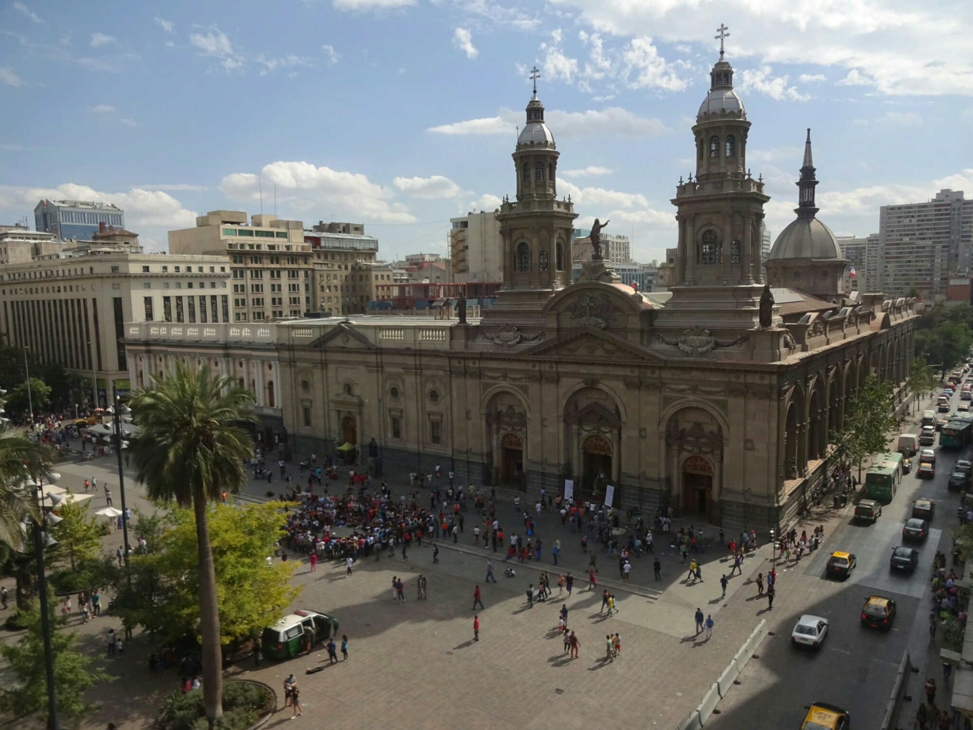
We spent the rest of the afternoon discovering the city on our own. Besides from viewing the presidential palace, where Allende was shot, we visited the National Historical Museum. It gives a good overview of the history, from the indigenous people and the Spanish colonization up to Allende and his death. However, it doesn’t provide any information on what happened in Chile after 1970. The Human Rights Museum is supposed to be very impressive on the times during the military dictatorship of Pinochet, but I didn’t find out about that until later.

The Presidential Palace in downtown Santiago
View from the tower of the National Historical Museum on the Plaza de Armas

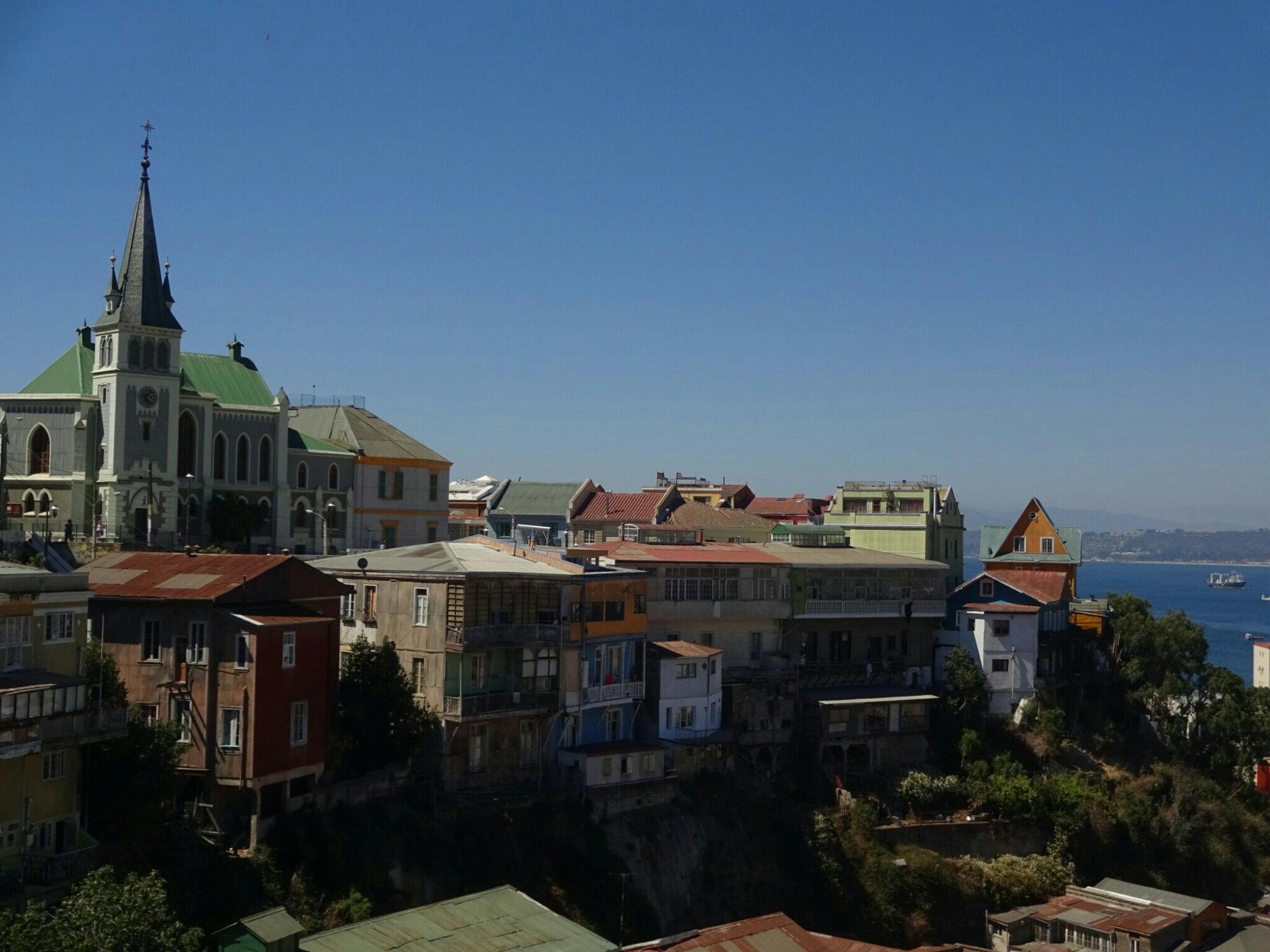
While Benno had to take his flight back home, I boarded the next bus to Valparaiso. This vibrant coastal city is less than two hours from Santiago and it’s downtown was declared a UNESCO world heritage site in 2003. The colorful houses and the omnipresent street art definitely rectify this choice.

Tasting another Chilean invention – the earthquake cocktail “Terremoto”
Valparaiso has many colorful houses and was declared a UNESCO world heritage site
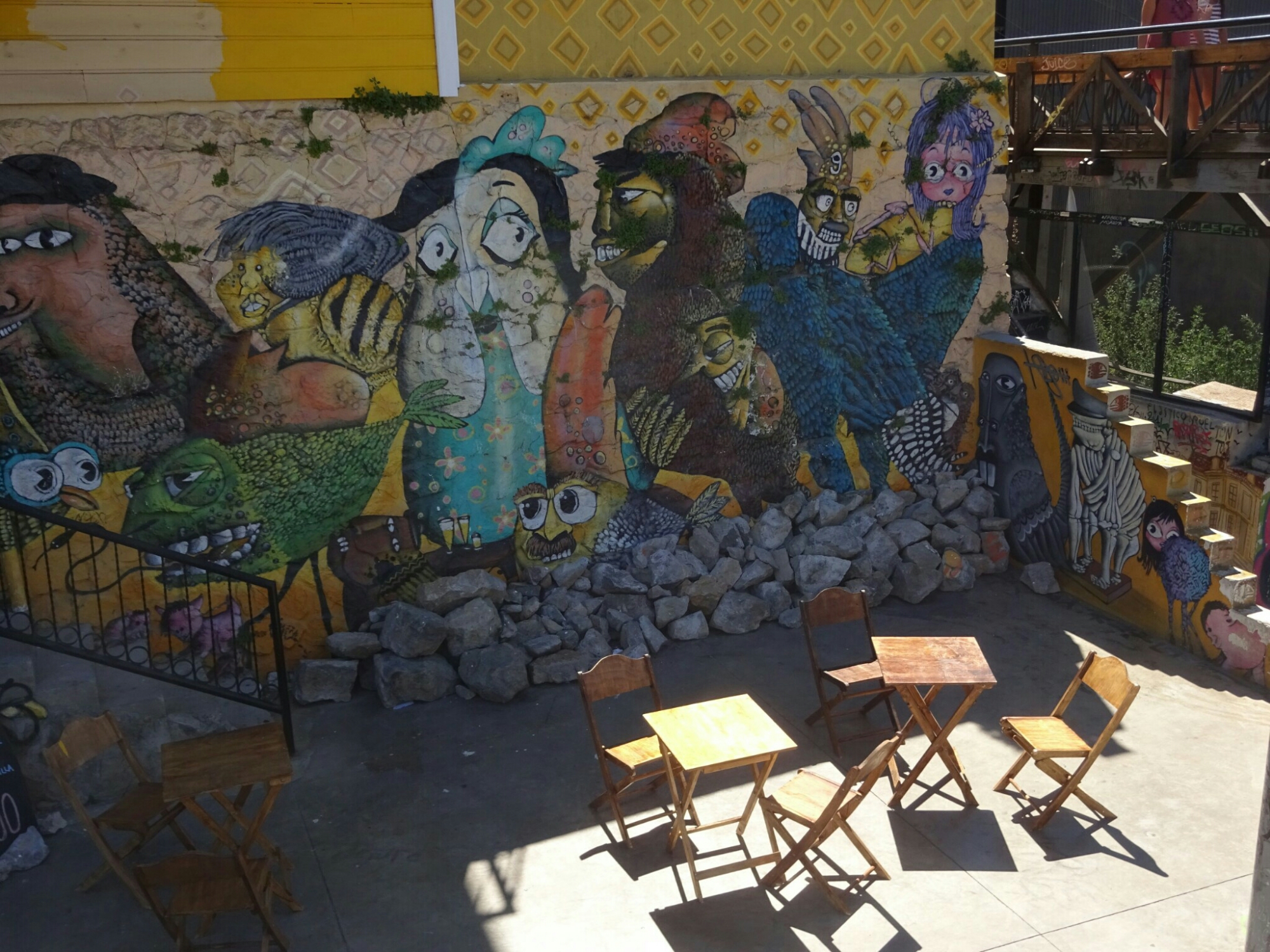
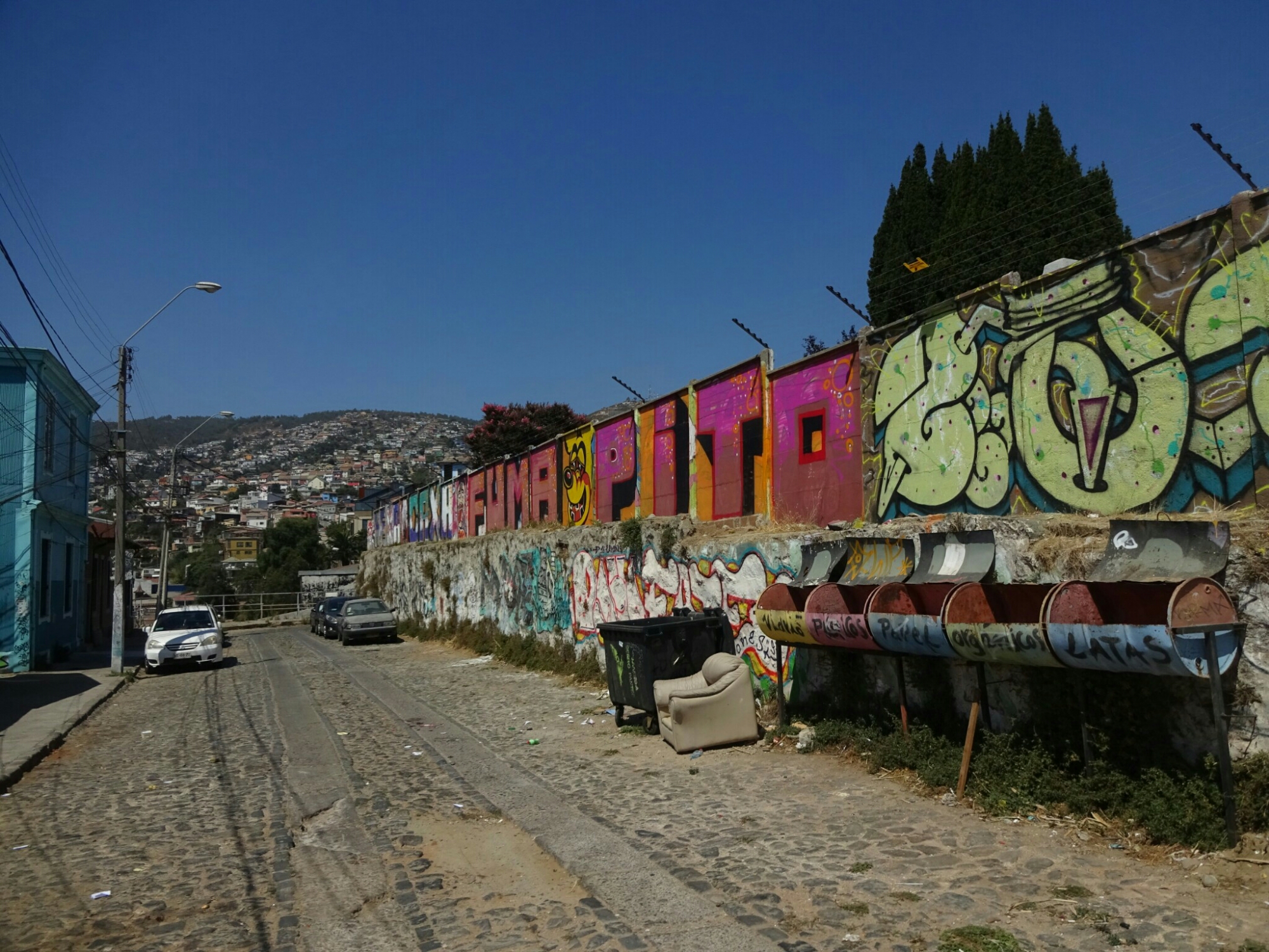
The street art is omnipresent

I used the afternoon to explore the city on another free walking tour. We learned about the national heroes – firefighters – which is an unpaid job in Chile. Only the truck drivers get paid, based on monthly donations by their fellow firefighters. It’s a weird system, but has been working for about 150 years already. Due to the lack of governmental funding, they’re looking for sponsors for their equipment, which is why they have many different fire stations: American, Italian and German among others.

Valparaiso also has a German fire station

The city is built on more than 54 little hills along an elevated coastline. Therefore, there are many steep roads and staircases leading up the hills. To make things easier, people have built little elevators to skip some of the ascend or descend. They operate on a daily basis from early in the morning until late and are quite cheap to use.

Elevators and steep staircases lead up the hills

. Up in the hills we visited the first two protestant churches in Chile. The “Saint Paul Anglican Church” was built before Chile introduced a law guaranteeing freedom of faith, which is why it had to be built without too many people knowing about it. From the outside it doesn’t look like a proper church, so almost nobody turned up for mass. The other church, “Iglesia Luterana de La Santa Cruz”, was built shortly after the new law and was allowed to have a bell tower and a cross on top. Somehow this worked better.

The “Santa Cruz” church can be seen from far away
Camilo, our walking tour guide, also knows some of the local artists

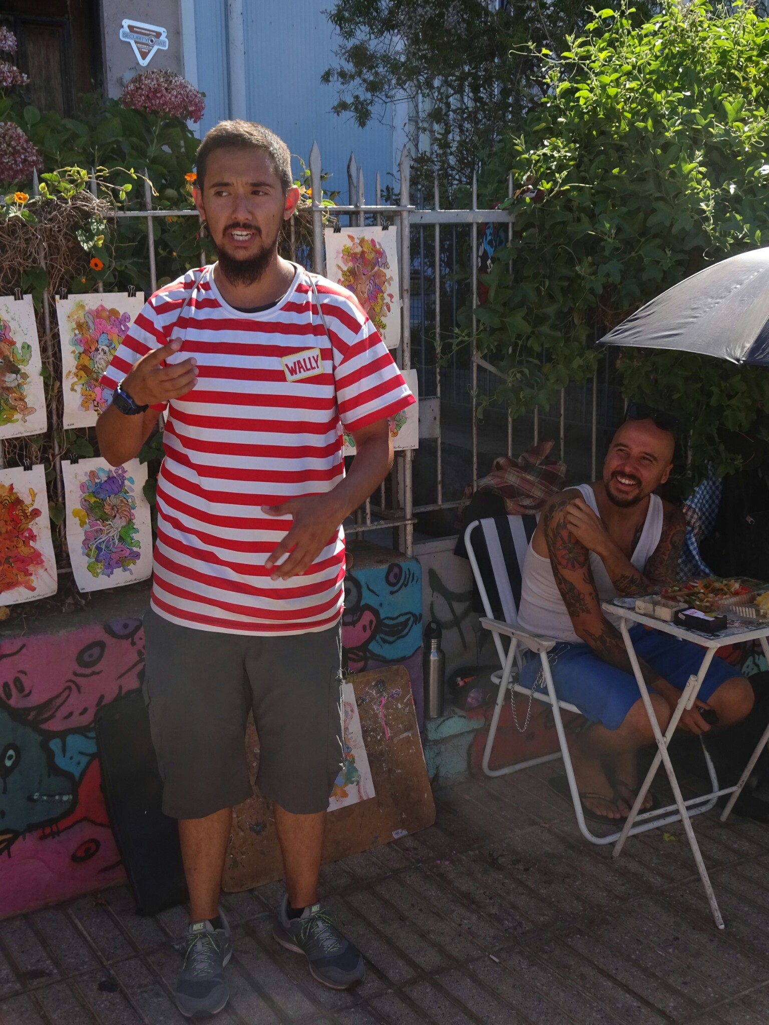
The following day I went on a tour of the less touristy spots of the city, where we took the “Rollercoaster bus” up into the hills to visit the former prison, now a cultural center offering various activities. During the dictatorship of Pinochet, many political prisoners were stationed here. And to add some personal relation to this dark history, our guide, Camilo, told us, how his father used to work for the army and became Pinochet’s personal butler during the last three years of his ruling.

The former prison is now a cultural center

Next to the prison are three graveyards of the city – “Cementerio 1”, “Cementerio 2” and “Cementerio de Disidentes”. However, this is not a graveyard for the political prisoners, but it used to be the only one for protestants, because the others were for catholics only. Eventually they were allowed to have their own cemetery, under the condition of this particular name.

The back wall of the “Cementario de dissidentes”