Category Archives: Default

Seattle

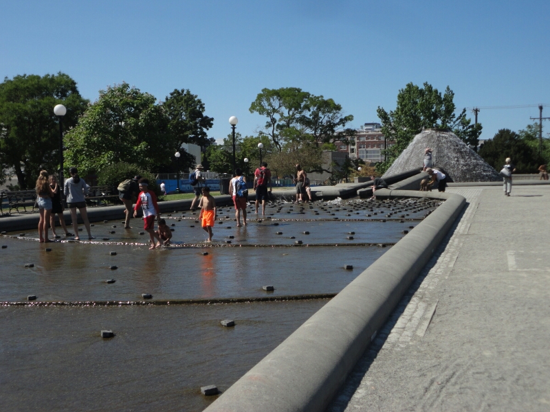
I arrived in Seattle on the 4th of July. Thanks to Jacob, I had already found a place to stay before entering the country. Christina, my host for the next two nights, was super nice and I really enjoyed my time. She gave me some good tips on where everyone goes to watch the fireworks (Gas Works Park), recommended a great Indian restaurant and other stuff. When I left off to explore the city it was early afternoon and I had more than enough time until the fireworks started. On my way downtown I checked out a park with some nice trick fountains and watering holes where everyone was taking a break from the hot weather.

image

I continued and ended up at Pike’s Place Market, an old building with multiple storeys and lots of little shops inside. Most of them were selling gifts, used books or gadgets and home decoration. On the top floor there was also a real market, but the shops were closing up for the day.

image
At Pike's Place Market

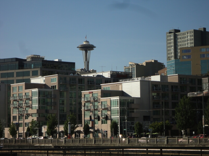
Right across from there is the waterfront with a ferries wheel, the aquarium and many different piers where you can hang out and relax. And that’s exactly what I did, because the jetlag was coming through. After some fish ‘n’ chips (great math: $20 + 1ct  = food plus $4.39 and 1ct change) I followed the waterfront to the Myrtle Edwards Park, close by the Space Needle.
image
View of the Space Needle from the waterfront

Meanwhile it had turned 8 pm, so I still had two hours before the fireworks started, but I decided to head for the Gas Works Park. However, those two hours were not enough, because neither locals nor bus drivers were able to tell me how to get there. I ended up back at the western waterfront, thinking to myself that the view of the city is also nice and I should have a good view with fireworks all over the city. Unfortunately that was not the case and the skyscrapers blocked almost everything. The only fireworks I did get to see were the ones from Manchester and Bainbridge Island, which were more than 5 km across the bay.

image
At the Gas Works Park the next day

The next day I walked all over town again to have a look at the Arboretum, the University of Washington and the famous Gas Works Park. It was indeed not easy to get there, but I had downloaded a bus map and an offline map.
image
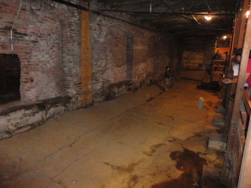
The underground tour of Seattle

On Monday was my last day in Seattle. I took my luggage to the train station and checked out the Pioneer District close by. There they have cool underground tours showing the former ground floors of the surrounding buildings. After the great fire in the late 19th century it was decided to make new roads with a sewage system underneath. Instead of digging in the ground (high groundwater) they build walls and filled the space in-between with debris from the old houses. The walls were more than 2 meters high, so the ground floor ended up being the first floor.

Who needs Nessie?

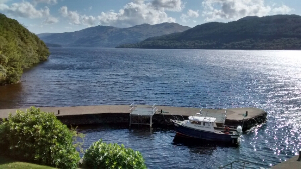
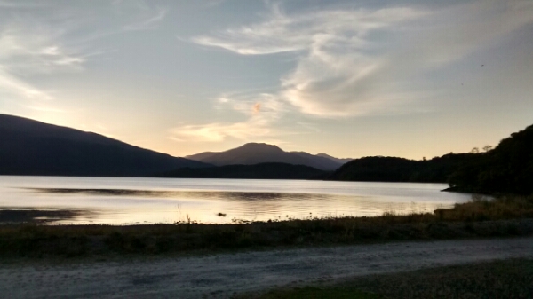
So we were wondering, if there is a monster in Loch Lomond as well? It seems to be big enough since we’ve been walking along the shores for quite a while now.

image

After a nice and quiet night at the Rowardennan youth hostel we got up to greyness and lots of rain. Since we didn’t need to cover too many kilometers on Thursday we were very lazy and didn’t leave our dry place until about noon. And we were lucky as it had stopped raining just before. It got even better as the train clouds moved on an the sun came out again.

image

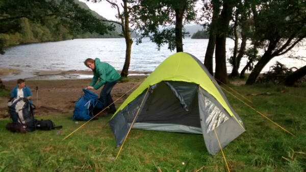
In the evening we found a nice spot at the lake side which was perfect for our first night of camping out in the wild. This was where we found the first evidence for the monster – lots of garbage everywhere. It must be throwing wild parties here every night. Let’s hope it’s not coming tonight! We cleaned up a little bit while Eric was preparing a campfire to cook our dinner. Somehow it took much longer than expected and we got to bed quite late.

image

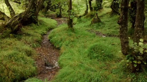
The night was rough – stormy and lots of rain, which continued most of Friday. After packing up in the pouring rain, we continued with our hike. Most of the trails had turned into rivers, and fields into swamps (and our shoes into sponges). At some point we lost the track and walked parallel because we couldn’t find it anymore.

image

And then we got to the Drovers Inn. It’s the oldest Scottish pub (from 1705) and apparently it has been voted the best pub in GB from 1989-2011. Of course it’s well known among the hikers as well – the French people had told us about it. And here is where we got the definite proof for our monster: They have caught it and are selling the meat as “Loch Lomond monster burger”. It’s name is “Angus”, as mentioned on the menu. And it makes the best burger we’ve had for quite a while!

image

A walk in the park

The day started out great. Usually I’m not a fan of oatmeal, but it was the only feasible option to take for breakfast. But what made it much better was the fact that we found a ton of blackberries just outside the campground. So we ended up making a delicious blackberry sauce.

image

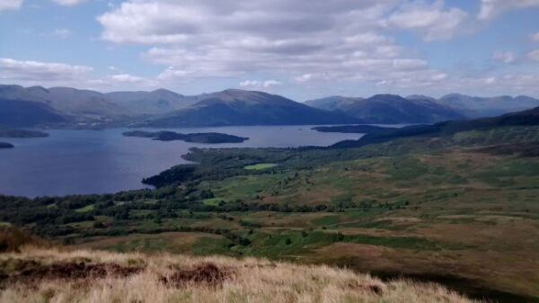
The next part of the hike led us to the real Highlands, partly protected by a national park in this area up to Rowardennan. After walking through a mountainous plateau we passed (and climbed) Conic Hill. It’s part of the continental fault line. Back in the days Scotland used to be part of the American continent. Back in those days the mountains in the Highlands were supposedly as tall as the Himalayas today. Wind, sun and enormous glaciers slowly eroded them to what can be climbed today.

image

In Balmaha we had planned to do a little boat tour on Loch Lomond, but it was not operating today (or at all?). Instead were relaxing a bit at the shores of the lake before setting up our tent a few kilometers down the road at Cashel Campsite. Of course we met some of the people from yesterday. And we seized the opportunity of the last rays of sunshine to take a quick and quite refreshing bath in the lake. Of course we jumped right under the hot shower once we got out of the water.

image

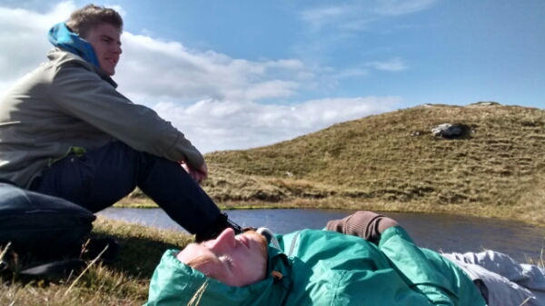
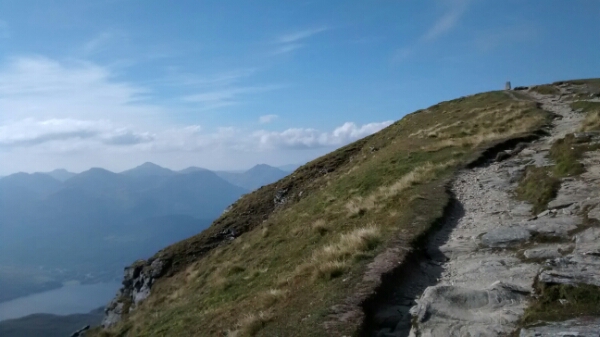
On Wednesday it was planned to be a short hike to Rowardennan. We wanted to keep our energy for the climb of Ben Lomond, the southernmost munro (mountain over 3000 ft) in Scotland. It has an ascend of about 800 m for a round trip of about 7 km. To tackle this, we left our backpacks at the youth hostel (our bed for the night) and went onwards. Without the weight of the backpacks it felt like a walk in the park.

image

Contrary to the common route we chose to hike it clockwise to have the steep ascend going up and the moderate incline the way back down. It was definitely worth it, even though we met everyone climbing the mountain as they were coming from in front. It was also really easy to distinguish between tourists and real Scotsmen, because the later ones were only wearing a t-shirt with (mostly) constant winds of a magnitude of (I would guess) 7 Bft or more. We were really glad to have our thick sweaters and wind jackets with us…

image

Gaelic or Ghoulish?

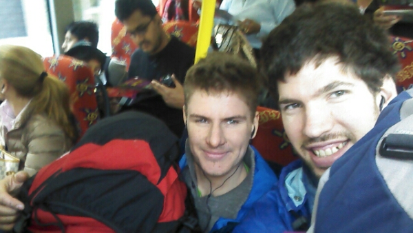
Our next stop was Glasgow. We had decided to take a hop-on-hop-off bus tour around the city. Luckily our next AirBnb host is living close to the science center, one of the bus stops. However, the bus was really full so we had to take our heavy backpacks on our laps and weren’t able to see much on the first ride.
image

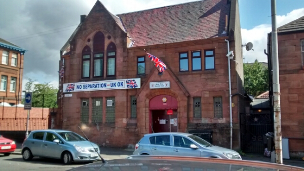
As we got off the bus we saw more and more houses with Scottish, English or British flags, saying “YES” or “NO” in big letters. It’s part of the Scottish vote for independence, which will take place in September. It’s quite interesting that lots of people openly declare their opinion like that. Especially if your neighbor has a different opinion…
image

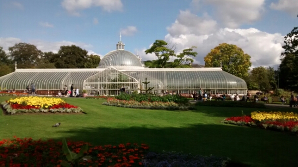
We dropped off our bags and headed back to the bus to have a look at the botanical gardens, the university and the Kelvingrove art gallery (the latter two just from the outside). By the time we got back downtown there were only two buses left for the day and we hadn’t even had the chance to get to see the other side of the city.
image

Additionally we found a great guiding channel on the bus – “Ghoulish Glasgow”, which we thought was the tour in old Scottish language (Gaelic). But it turned out to be ghost stories of Glasgow, told by two ghosts living at the bus terminal. We thought that was pretty funny and stayed on the bus for another full tour. By the end we even had goose bumps, but that might have been due to the reason that we were sitting on the open top deck of the bus with the wind blowing quite cold.
image

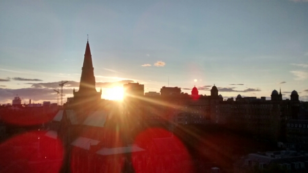
At the end of the tour we hustled to the Necropolis (we didn’t have enough of ghosts yet) to get a nice view of the sunset, which was indeed beautiful to look at. With the cathedral being closed for the day we walked back downtown to look for a pub.
image

I chose the bar by it’s name – Ben Lomond – as we won’t be climbing Scotland’s highest mountain. It ended up – by chance – being the one and only bar that Eric had been at 11 years ago… It was full of locals. We sat at a table with a middle-aged couple, where the guy was already super drunk and urged us to have 1 and 1/2 of his drinks that he wouldn’t be able to finish anymore. We tried talking to him, but we didn’t understand anything. As he was trying to communicate with his other neighbor she asked: “Do you come with subtitles? Because I have no idea what you’re saying… ”
image

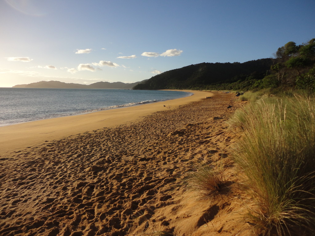
Hiking the Able Tasman Track

From Wellington Tim, Marielle and I traveled to the Able Tasman National Park (located on the south island) by boat, bus and hitchhiking. It is not far in distance but it took most of the day to get there. At the park we met Daniela and Manuel, who were also spending a bit of time there.

Hitchhiking to Marahau, the beginning of the Able Tasman Track

We stayed the night at the Tinline campsite and set off the next morning. This time we realized how heavy our backpacks really were – we had to carry everything for the next two days with us. Tim and I have done trips like this before, but it was the first multi-day-hike for Marielle. Luckily we only had to cover four hours that day.

Tinline Bay
Tinline Bay

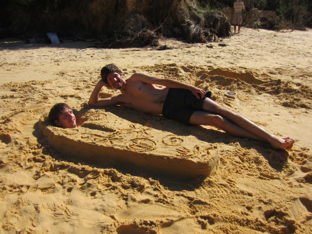
We spent the afternoon relaxing at the beach. I turned into a pregnant woman while Tim was buried in a short sarcophagus and Marielle was crawling around as a crab. Afterwards we jumped into the water to wash off the sand, but we didn’t stay very long because it was quite cold.

His Highness Pharao Tim the Short

The following day was our longest hike. We had to book the campgrounds in advance and we were a bit late on that so most of them were already fully booked. We took the closest one still available, which was still more than 30km away. In the end we found out that the rangers are quite flexible and will allow you to stay at other campgrounds. It’s not a big problem because all campgrounds are quite large for the maximum number of people allowed at that location.

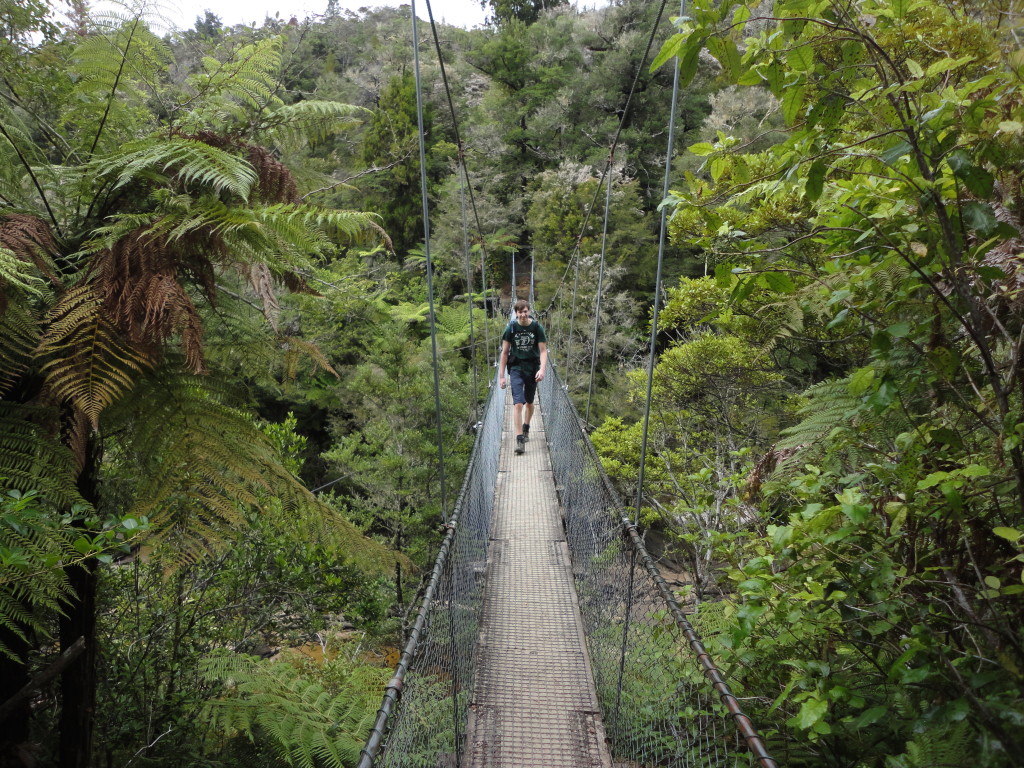
It's not all about beaches on the coastal track
It’s not all about beaches on the coastal track

On the last part of the hike there is a big tidal inlet that needs to be crossed. We arrived early in the afternoon an were hoping to cross it around 7pm, two hours before low tide as suggested online (it’s safe to do so at low tide +/-2 hours). On the other side were people waiting as well, who started the first attempt around that time and were waist-deep in the water. When we went an hour later it was only knee-deep. We kept walking for two more hours before reaching Totaranui campsite when all the light was gone.

Watching people get into waist-deep water at the Awaroa tidal crossing

After a short night we set out early to meet my parents in Wainui Bay. It worked quite well and they arrived at the parking lot at exactly the same time as we did.

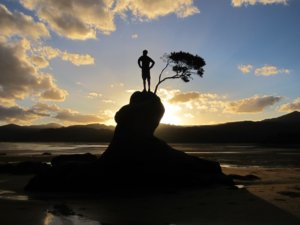
Sunrise at Totaranui